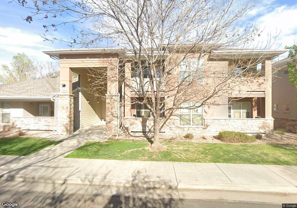
5192 Ammons Ct Unit 101 Arvada, CO 80002
Estimated Value: $419,000 - $476,000
3
Beds
2
Baths
1,485
Sq Ft
$304/Sq Ft
Est. Value
About This Home
This home is located at 5192 Ammons Ct Unit 101, Arvada, CO 80002 and is currently estimated at $451,528, approximately $304 per square foot. 5192 Ammons Ct Unit 101 is a home located in Jefferson County with nearby schools including Lawrence Elementary School, North Arvada Middle School, and Arvada High School.
Ownership History
Date
Name
Owned For
Owner Type
Purchase Details
Closed on
Jun 1, 2015
Sold by
Thompson Betty L
Bought by
Sowers John and Wolff Sowers Carole
Current Estimated Value
Purchase Details
Closed on
Apr 26, 2006
Sold by
Olde Town Square Llc
Bought by
Thompson Betty L
Home Financials for this Owner
Home Financials are based on the most recent Mortgage that was taken out on this home.
Original Mortgage
$174,900
Interest Rate
6.12%
Mortgage Type
Fannie Mae Freddie Mac
Create a Home Valuation Report for This Property
The Home Valuation Report is an in-depth analysis detailing your home's value as well as a comparison with similar homes in the area
Purchase History
| Date | Buyer | Sale Price | Title Company |
|---|---|---|---|
| Sowers John | $260,000 | Chicago Title Co | |
| Thompson Betty L | $249,900 | Fahtco |
Source: Public Records
Mortgage History
| Date | Status | Borrower | Loan Amount |
|---|---|---|---|
| Previous Owner | Thompson Betty L | $174,900 |
Source: Public Records
Tax History
| Year | Tax Paid | Tax Assessment Tax Assessment Total Assessment is a certain percentage of the fair market value that is determined by local assessors to be the total taxable value of land and additions on the property. | Land | Improvement |
|---|---|---|---|---|
| 2024 | $2,740 | $27,500 | -- | $27,500 |
| 2023 | $2,740 | $27,500 | $0 | $27,500 |
| 2022 | $2,945 | $29,374 | $0 | $29,374 |
| 2021 | $2,989 | $30,219 | $0 | $30,219 |
| 2020 | $2,395 | $24,241 | $0 | $24,241 |
| 2019 | $2,363 | $24,241 | $0 | $24,241 |
| 2018 | $1,867 | $18,612 | $0 | $18,612 |
| 2017 | $1,711 | $18,612 | $0 | $18,612 |
| 2016 | $1,631 | $16,685 | $1 | $16,684 |
| 2015 | $1,304 | $16,685 | $1 | $16,684 |
| 2014 | $1,304 | $12,530 | $1 | $12,529 |
Source: Public Records
Map
Nearby Homes
- 5225 Balsam St Unit 1
- 8028 W 52nd Ln Unit B
- 5223 Allison Way Unit D
- 5223 Allison Way Unit C
- 5290 Balsam St Unit 300004426
- 5300 Balsam St
- 5187 Carr St
- 8406 W 52nd Ave
- 5359 Balsam St Unit 201
- 8408 W 52nd Ave
- 8412 W 52nd Ave
- 5320 Allison St Unit 106
- 8530 W 52nd Ave Unit A3
- 5396 Balsam St
- 5366 Allison St Unit D
- 8620 W 52nd Ave
- 5055 Cody St Unit G
- 5055 Cody St Unit A
- 5055 Cody St Unit D
- 5140 Dover St
- 5192 Ammons Ct Unit 201
- 5192 Ammons Ct Unit 102
- 8100 W 52nd Ave
- 5182 Ammons Ct Unit 102
- 5182 Ammons Ct Unit 201
- 5182 Ammons Ct Unit 101
- 8200 W 52nd Ave
- 8062 W 52nd Ave
- 8210 W 52nd Ave
- 5200 Balsam St
- 8061 W 52nd Ave
- 8050 W 52nd Ave
- 8050 W 52nd Ave Unit 8020-8050
- 8123 W 51st Place Unit 302
- 8123 W 51st Place Unit 301
- 8123 W 51st Place Unit 202
- 8123 W 51st Place Unit 201
- 8123 W 51st Place Unit 102
- 8123 W 51st Place Unit 101
- 8123 W 51st Place Unit 304
Your Personal Tour Guide
Ask me questions while you tour the home.