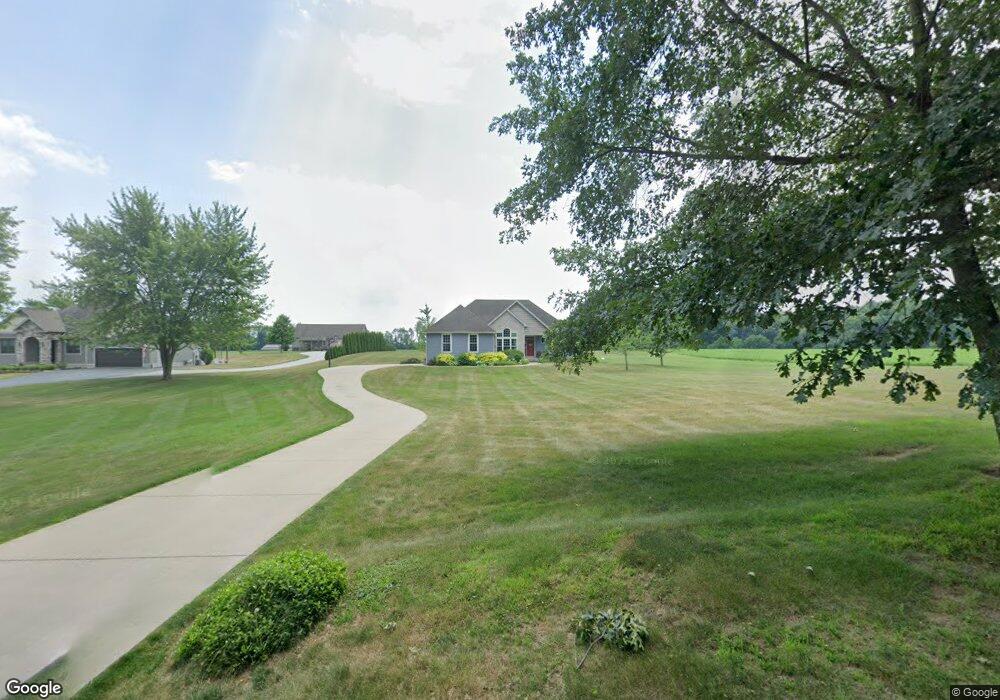
5192 W 400 S La Porte, IN 46350
Estimated Value: $439,000 - $645,000
3
Beds
3
Baths
1,916
Sq Ft
$267/Sq Ft
Est. Value
About This Home
This home is located at 5192 W 400 S, La Porte, IN 46350 and is currently estimated at $512,274, approximately $267 per square foot. 5192 W 400 S is a home located in LaPorte County with nearby schools including Kingsbury Elementary School, La Porte High School, and Kesling Intermediate School.
Ownership History
Date
Name
Owned For
Owner Type
Purchase Details
Closed on
Aug 3, 2011
Sold by
Sutton Derek and Sutton Holly
Bought by
Schable Robert J and Schable Tearsa K
Current Estimated Value
Home Financials for this Owner
Home Financials are based on the most recent Mortgage that was taken out on this home.
Original Mortgage
$207,000
Outstanding Balance
$143,057
Interest Rate
4.53%
Mortgage Type
New Conventional
Estimated Equity
$369,217
Purchase Details
Closed on
Jan 2, 2006
Sold by
Fabisiak William J
Bought by
Sutton Derek and Sutton Holly
Create a Home Valuation Report for This Property
The Home Valuation Report is an in-depth analysis detailing your home's value as well as a comparison with similar homes in the area
Home Values in the Area
Average Home Value in this Area
Purchase History
| Date | Buyer | Sale Price | Title Company |
|---|---|---|---|
| Schable Robert J | -- | Fidelity Natl Title Ins Co | |
| Sutton Derek | -- | Metropolitan Title In Llc |
Source: Public Records
Mortgage History
| Date | Status | Borrower | Loan Amount |
|---|---|---|---|
| Open | Schable Robert J | $207,000 |
Source: Public Records
Tax History Compared to Growth
Tax History
| Year | Tax Paid | Tax Assessment Tax Assessment Total Assessment is a certain percentage of the fair market value that is determined by local assessors to be the total taxable value of land and additions on the property. | Land | Improvement |
|---|---|---|---|---|
| 2024 | $3,008 | $334,500 | $30,000 | $304,500 |
| 2023 | $2,929 | $289,400 | $30,000 | $259,400 |
| 2022 | $2,608 | $262,000 | $30,000 | $232,000 |
| 2021 | $2,407 | $241,800 | $30,000 | $211,800 |
| 2020 | $2,378 | $241,800 | $30,000 | $211,800 |
| 2019 | $2,374 | $233,700 | $30,000 | $203,700 |
| 2018 | $2,081 | $205,500 | $30,000 | $175,500 |
| 2017 | $1,903 | $196,800 | $30,000 | $166,800 |
| 2016 | $1,805 | $196,900 | $30,000 | $166,900 |
| 2014 | $1,972 | $213,000 | $27,000 | $186,000 |
Source: Public Records
Map
Nearby Homes
- 6475 W Joliet Rd
- 3555 S Maple Lane Ct
- 5653 S 425 W
- 1111 S 500 W
- 1139 S 500 W
- 7052 Long Ln
- 210 Union St
- 104 N Cummings St
- 2261 W Joliet Rd
- 1009 S Redbud Dr
- 2425 W 18th St
- 998 W 400 S
- 5022 S Pine Valley Dr
- 604 Stanley Dr
- 746 (lot43) E Eagle Flight Ln
- 3866 W Pawnee Dr
- 603 Julie Dr
- 0 N Goldring Rd Unit NRA828377
- 1 Avenue B
- 166 N Woodland Dr