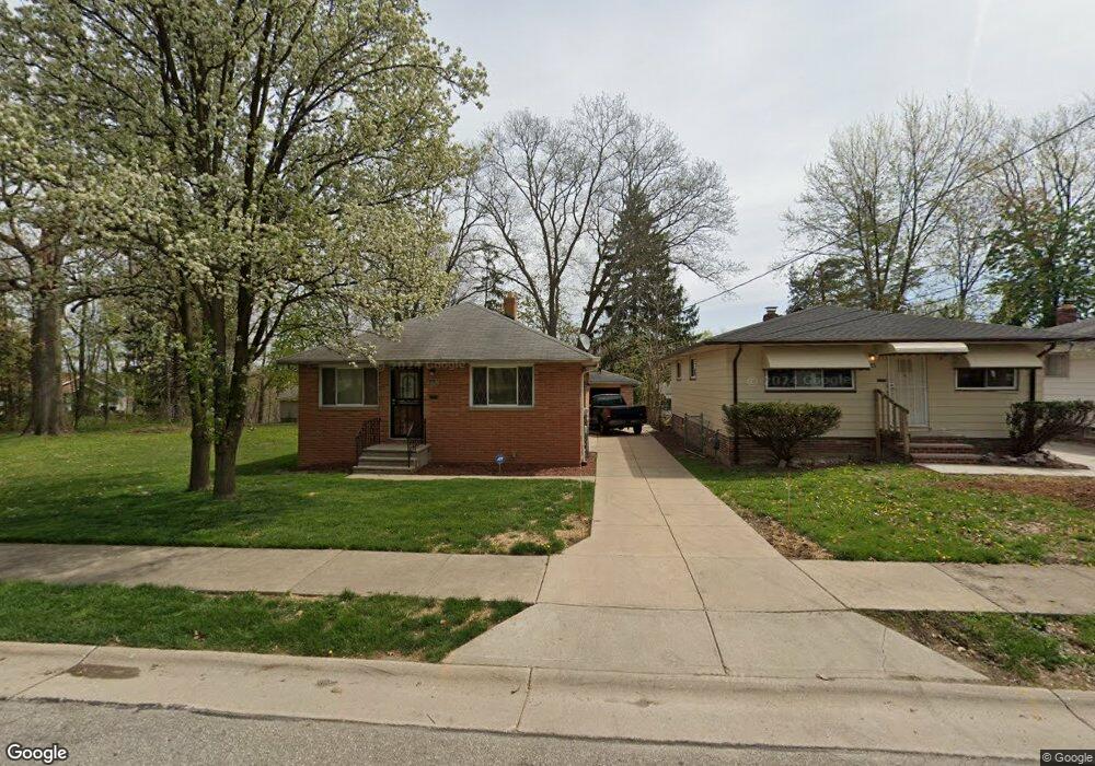
5197 Milo Ave Maple Heights, OH 44137
Estimated Value: $137,000 - $305,000
3
Beds
3
Baths
787
Sq Ft
$331/Sq Ft
Est. Value
About This Home
This home is located at 5197 Milo Ave, Maple Heights, OH 44137 and is currently estimated at $260,389, approximately $330 per square foot. 5197 Milo Ave is a home located in Cuyahoga County with nearby schools including Abraham Lincoln Elementary School, Rockside/ J.F. Kennedy School, and Barack Obama School.
Ownership History
Date
Name
Owned For
Owner Type
Purchase Details
Closed on
Aug 20, 2012
Sold by
Townsend Gary
Bought by
Beer Joseph G and Beer Jodie K
Current Estimated Value
Purchase Details
Closed on
May 12, 2010
Sold by
Townsend Patricia
Bought by
Townsend Patricia and The Townsend Family Revocable Living Tru
Purchase Details
Closed on
Apr 27, 2010
Sold by
Estate Of Joseph R Lineker
Bought by
Townsend Patricia
Purchase Details
Closed on
Jan 1, 1975
Bought by
Lineker Joseph R
Create a Home Valuation Report for This Property
The Home Valuation Report is an in-depth analysis detailing your home's value as well as a comparison with similar homes in the area
Home Values in the Area
Average Home Value in this Area
Purchase History
| Date | Buyer | Sale Price | Title Company |
|---|---|---|---|
| Beer Joseph G | $1,000 | Attorney | |
| Townsend Patricia | -- | None Available | |
| Townsend Patricia | -- | None Available | |
| Lineker Joseph R | -- | -- |
Source: Public Records
Tax History
| Year | Tax Paid | Tax Assessment Tax Assessment Total Assessment is a certain percentage of the fair market value that is determined by local assessors to be the total taxable value of land and additions on the property. | Land | Improvement |
|---|---|---|---|---|
| 2024 | $290 | $1,785 | $1,785 | -- |
| 2023 | $223 | $980 | $980 | $0 |
| 2022 | $222 | $980 | $980 | $0 |
| 2021 | $229 | $980 | $980 | $0 |
| 2020 | $213 | $740 | $740 | $0 |
| 2019 | $203 | $2,100 | $2,100 | $0 |
| 2018 | $101 | $740 | $740 | $0 |
| 2017 | $161 | $350 | $350 | $0 |
| 2016 | $148 | $350 | $350 | $0 |
| 2015 | $147 | $350 | $350 | $0 |
| 2014 | $137 | $350 | $350 | $0 |
Source: Public Records
Map
Nearby Homes
- 5270 E 135th St
- 14510 Granger Rd
- 14512 Granger Rd
- 13417 Granger Rd
- 13704 Linn Ave
- 13801 Bangor Ave
- 4955 E 141st St
- 5408 Roland Dr
- 15264 Broadway Ave
- 13719 Wolf Ave
- 5380 E 131st St
- 13009 Willard Ave
- 12913 Darlington Ave
- 12328 Granger Rd
- 4816 E 135th St
- 5069 Henry St
- 4754 Lawrence Ave
- 13206 Shady Oak Blvd
- 16029 Friend Ave
- 16101 Raymond St
- 5201 Milo Ave
- 5205 Milo Ave
- 5209 Milo Ave
- 5190 Forest Ave
- 5198 Forest Ave
- 5202 Forest Ave
- 5211 Milo Ave
- 5206 Forest Ave
- 14129 Maple Ave
- 14147 Maple Ave
- 14113 Maple Ave
- 14149 Maple Ave
- 14071 Maple Ave
- 5196 Milo Ave
- 5214 Forest Ave
- 5221 Milo Ave
- 14010 Maple Ave
- 14039 Maple Ave
- 5216 Milo Ave
- 5216 Forest Ave
Your Personal Tour Guide
Ask me questions while you tour the home.