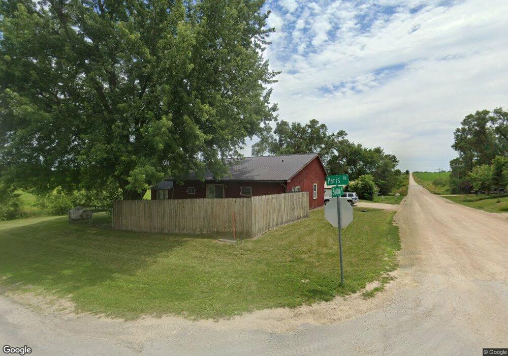
5197 Sutton Rd Central City, IA 52214
Estimated Value: $124,000 - $221,000
2
Beds
1
Bath
1,396
Sq Ft
$115/Sq Ft
Est. Value
About This Home
This home is located at 5197 Sutton Rd, Central City, IA 52214 and is currently estimated at $161,113, approximately $115 per square foot. 5197 Sutton Rd is a home located in Linn County with nearby schools including Central City Elementary School and Central City Junior High School.
Ownership History
Date
Name
Owned For
Owner Type
Purchase Details
Closed on
Jan 30, 2018
Sold by
Noonan Steven D and Noonan Joette D
Bought by
Silver Lining Investments Llc
Current Estimated Value
Home Financials for this Owner
Home Financials are based on the most recent Mortgage that was taken out on this home.
Original Mortgage
$68,000
Outstanding Balance
$53,743
Interest Rate
3.95%
Mortgage Type
New Conventional
Estimated Equity
$107,370
Create a Home Valuation Report for This Property
The Home Valuation Report is an in-depth analysis detailing your home's value as well as a comparison with similar homes in the area
Home Values in the Area
Average Home Value in this Area
Purchase History
| Date | Buyer | Sale Price | Title Company |
|---|---|---|---|
| Silver Lining Investments Llc | $66,500 | None Available |
Source: Public Records
Mortgage History
| Date | Status | Borrower | Loan Amount |
|---|---|---|---|
| Open | Silver Lining Investments Llc | $68,000 |
Source: Public Records
Tax History Compared to Growth
Tax History
| Year | Tax Paid | Tax Assessment Tax Assessment Total Assessment is a certain percentage of the fair market value that is determined by local assessors to be the total taxable value of land and additions on the property. | Land | Improvement |
|---|---|---|---|---|
| 2025 | $1,374 | $118,100 | $12,700 | $105,400 |
| 2024 | $1,372 | $112,000 | $12,700 | $99,300 |
| 2023 | $1,372 | $112,000 | $12,700 | $99,300 |
| 2022 | $1,386 | $89,300 | $12,700 | $76,600 |
| 2021 | $1,282 | $89,300 | $12,700 | $76,600 |
| 2020 | $1,282 | $78,300 | $12,700 | $65,600 |
| 2019 | $1,184 | $72,800 | $12,700 | $60,100 |
| 2018 | $1,158 | $72,800 | $12,700 | $60,100 |
| 2017 | $1,122 | $70,000 | $12,700 | $57,300 |
| 2016 | $1,122 | $70,000 | $12,700 | $57,300 |
| 2015 | $1,126 | $70,000 | $12,700 | $57,300 |
| 2014 | $1,126 | $70,000 | $12,700 | $57,300 |
| 2013 | $1,090 | $70,000 | $12,700 | $57,300 |
Source: Public Records
Map
Nearby Homes
- 5050 Shady Oak Ave
- 1900 Maine Ridge Rd
- 4889 Valley Farm Rd
- 504 Prairie Hills Dr
- 257 5th St N
- 43 River St S
- 56 North Ave
- 29 5th St N
- 403 3rd St S
- 113 E Vinton St
- 104 5th Ave Ct
- 321 3rd St S
- 100 5th Ave Ct
- 130 3rd Ave E
- 110 E Linn St
- 832 E Main St
- 215 2nd St N
- 517 E Linn St
- 531 E Linn St
- 0 Parcel: 03104-02001-00000 Unit 2502368
- 5193 Sutton Rd
- 5192 Sutton Rd
- 5207 Sutton Rd
- 5188 Sutton Rd
- 2206 Paris Rd
- 5213 Sutton Rd
- 5184 Sutton Rd
- 5211 Buffalo Dr
- 5223 Sutton Rd
- 5208 Buffalo Dr
- 5219 Buffalo Dr
- 5220 Sutton Rd
- 5218 Buffalo Dr
- 5222 Sutton Rd
- 5236 Sutton Rd
- 0 Buffalo Dr
- 5227 Buffalo Dr
- 5228 Buffalo Dr
- 2242 Paris Rd
- 5246 Buffalo Dr