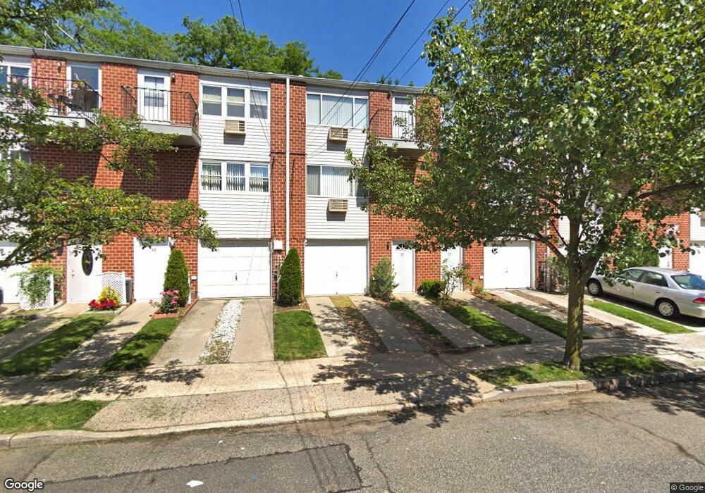
51B Francine Ct Unit 81B Staten Island, NY 10306
New Dorp NeighborhoodEstimated Value: $264,586 - $327,000
--
Bed
--
Bath
638
Sq Ft
$464/Sq Ft
Est. Value
About This Home
This home is located at 51B Francine Ct Unit 81B, Staten Island, NY 10306 and is currently estimated at $296,147, approximately $464 per square foot. 51B Francine Ct Unit 81B is a home located in Richmond County with nearby schools including P.S. 41 The Stephanie a Vierno School, Is 2 George L Egbert, and New Dorp High School.
Ownership History
Date
Name
Owned For
Owner Type
Purchase Details
Closed on
Jun 5, 2003
Sold by
Dorian Kenneth B
Bought by
Dorian Mark
Current Estimated Value
Home Financials for this Owner
Home Financials are based on the most recent Mortgage that was taken out on this home.
Original Mortgage
$100,000
Interest Rate
6.31%
Mortgage Type
Purchase Money Mortgage
Create a Home Valuation Report for This Property
The Home Valuation Report is an in-depth analysis detailing your home's value as well as a comparison with similar homes in the area
Home Values in the Area
Average Home Value in this Area
Purchase History
| Date | Buyer | Sale Price | Title Company |
|---|---|---|---|
| Dorian Mark | $125,000 | -- |
Source: Public Records
Mortgage History
| Date | Status | Borrower | Loan Amount |
|---|---|---|---|
| Closed | Dorian Mark | $100,000 |
Source: Public Records
Tax History Compared to Growth
Tax History
| Year | Tax Paid | Tax Assessment Tax Assessment Total Assessment is a certain percentage of the fair market value that is determined by local assessors to be the total taxable value of land and additions on the property. | Land | Improvement |
|---|---|---|---|---|
| 2025 | $1,992 | $20,814 | $473 | $20,341 |
| 2024 | $1,992 | $18,296 | $533 | $17,763 |
| 2023 | $1,901 | $9,358 | $540 | $8,818 |
| 2022 | $1,763 | $15,164 | $984 | $14,180 |
| 2021 | $1,753 | $15,014 | $984 | $14,030 |
| 2020 | $1,763 | $16,508 | $984 | $15,524 |
| 2019 | $1,729 | $14,502 | $984 | $13,518 |
| 2018 | $1,590 | $7,798 | $633 | $7,165 |
| 2017 | $1,500 | $7,358 | $648 | $6,710 |
| 2016 | $1,388 | $6,942 | $658 | $6,284 |
| 2015 | $1,322 | $6,942 | $608 | $6,334 |
| 2014 | $1,322 | $6,888 | $722 | $6,166 |
Source: Public Records
Map
Nearby Homes
- 49 Francine Ct Unit A
- 49 Francine Ct Unit B
- 47 Francine Ct Unit A
- 47 Francine Ct Unit B
- 47B Francine Ct Unit 85B
- 51A Francine Ct Unit 81A
- 47A Francine Ct Unit 85A
- 45B Francine Ct Unit 87B
- 45 Francine Ct Unit B
- 45 Francine Ct Unit A
- 45 Francine Ct
- 55B Francine Ct Unit 77B
- 55A Francine Ct Unit 77A
- 53B Francine Ct Unit 79B
- 53A Francine Ct Unit 79A
- 55 Francine Ct Unit B
- 27A Francine Ct
- 28A Francine Ct Unit 102A
- 30B Francine Ct Unit 100B
- 30A Francine Ct Unit 100A