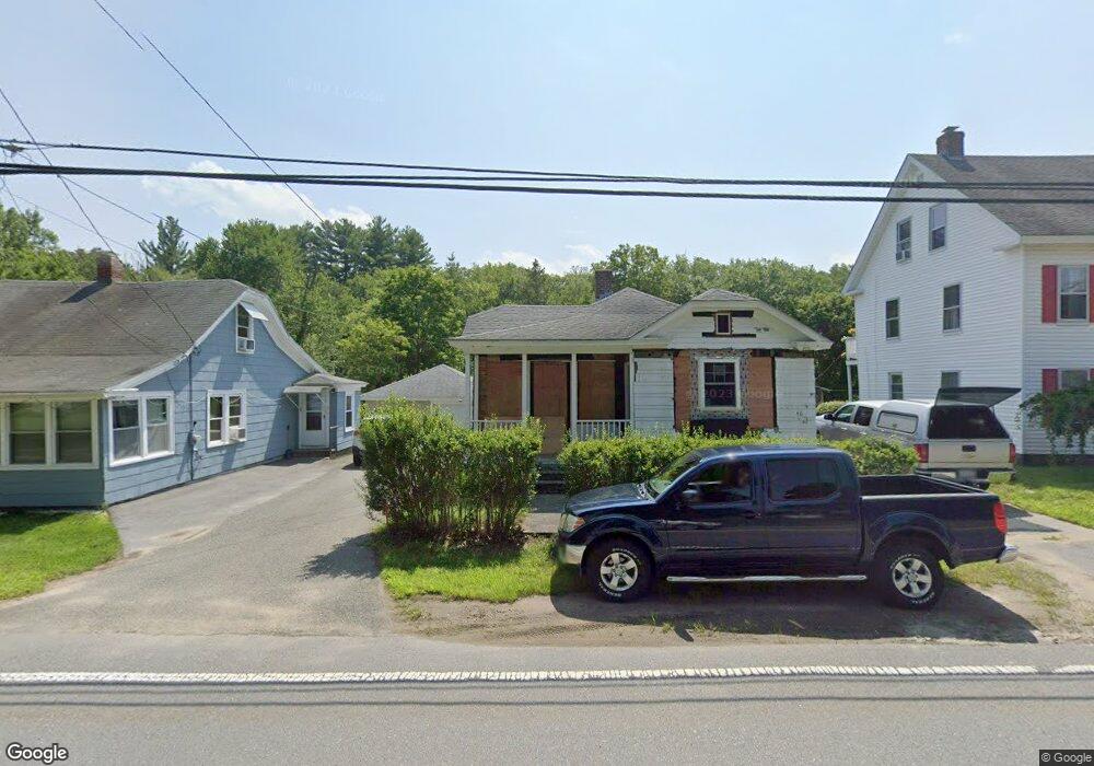
52 1/2 Main St Sutton, MA 01590
Estimated Value: $405,000 - $536,000
5
Beds
2
Baths
2,296
Sq Ft
$207/Sq Ft
Est. Value
About This Home
This home is located at 52 1/2 Main St, Sutton, MA 01590 and is currently estimated at $475,994, approximately $207 per square foot. 52 1/2 Main St is a home located in Worcester County with nearby schools including Sutton Elementary School, Sutton Middle School, and Sutton High School.
Create a Home Valuation Report for This Property
The Home Valuation Report is an in-depth analysis detailing your home's value as well as a comparison with similar homes in the area
Home Values in the Area
Average Home Value in this Area
Tax History
| Year | Tax Paid | Tax Assessment Tax Assessment Total Assessment is a certain percentage of the fair market value that is determined by local assessors to be the total taxable value of land and additions on the property. | Land | Improvement |
|---|---|---|---|---|
| 2025 | $4,764 | $358,200 | $154,700 | $203,500 |
| 2024 | $4,671 | $338,000 | $146,800 | $191,200 |
| 2023 | $3,942 | $261,600 | $134,000 | $127,600 |
| 2022 | $3,776 | $228,000 | $109,000 | $119,000 |
| 2021 | $3,785 | $215,900 | $109,000 | $106,900 |
| 2020 | $3,724 | $215,900 | $109,000 | $106,900 |
| 2019 | $3,962 | $224,500 | $109,000 | $115,500 |
| 2018 | $3,596 | $202,700 | $94,100 | $108,600 |
| 2017 | $3,449 | $194,100 | $83,800 | $110,300 |
| 2016 | $3,389 | $189,000 | $83,800 | $105,200 |
| 2015 | $3,364 | $187,300 | $83,800 | $103,500 |
| 2014 | $3,309 | $181,800 | $83,600 | $98,200 |
Source: Public Records
Map
Nearby Homes
- 108 Mumford St
- 4 1st St
- 36 Compass Point Dr Unit 36
- 19 Birch St
- 26 Compass Point Dr Unit 26
- 33 Nautical Way Unit 107
- 8 Hough Rd
- 22 Gilboa St
- 5 B St
- 408 NE Main St
- 2 White Ct
- 80 Barnett Rd
- 266 Putnam Hill Rd
- 8 Wallis St
- 18 Lakeshore Dr
- 3 S East Main St
- Lot 27 Cedar St
- 198 Uxbridge Rd
- 201 Prescott Rd
- 28 Johnson Rd
Your Personal Tour Guide
Ask me questions while you tour the home.