52 Allen Ln Spruce Pine, NC 28777
Estimated Value: $198,000 - $693,000
--
Bed
2
Baths
1,456
Sq Ft
$233/Sq Ft
Est. Value
About This Home
This home is located at 52 Allen Ln, Spruce Pine, NC 28777 and is currently estimated at $338,905, approximately $232 per square foot. 52 Allen Ln is a home located in Mitchell County with nearby schools including Greenlee Primary School, Deyton Elementary School, and Harris Middle School.
Ownership History
Date
Name
Owned For
Owner Type
Purchase Details
Closed on
Aug 21, 2025
Sold by
Allen David and Allen Trenda
Bought by
Collins Linda A and Collins Franklin Woodrow
Current Estimated Value
Purchase Details
Closed on
Mar 26, 2010
Sold by
Allen David and Allen Trenda
Bought by
Allen Kathleen
Purchase Details
Closed on
Aug 27, 2009
Sold by
Allen Kathleen
Bought by
Allen David and Allen Michael
Purchase Details
Closed on
Dec 29, 2006
Sold by
Allen Kathleen
Bought by
Allen Michael and Allen David
Create a Home Valuation Report for This Property
The Home Valuation Report is an in-depth analysis detailing your home's value as well as a comparison with similar homes in the area
Home Values in the Area
Average Home Value in this Area
Purchase History
| Date | Buyer | Sale Price | Title Company |
|---|---|---|---|
| Collins Linda A | $200,000 | None Listed On Document | |
| Collins Linda A | $200,000 | None Listed On Document | |
| Allen Kathleen | -- | -- | |
| Allen David | -- | -- | |
| Allen Michael | -- | None Available |
Source: Public Records
Tax History Compared to Growth
Tax History
| Year | Tax Paid | Tax Assessment Tax Assessment Total Assessment is a certain percentage of the fair market value that is determined by local assessors to be the total taxable value of land and additions on the property. | Land | Improvement |
|---|---|---|---|---|
| 2025 | $1,084 | $169,300 | $26,200 | $143,100 |
| 2024 | $1,067 | $169,300 | $26,200 | $143,100 |
| 2023 | $1,067 | $169,300 | $26,200 | $143,100 |
| 2022 | $1,067 | $169,300 | $26,200 | $143,100 |
| 2021 | $835 | $128,400 | $21,400 | $107,000 |
| 2020 | $835 | $128,400 | $21,400 | $107,000 |
| 2019 | $835 | $128,400 | $21,400 | $107,000 |
| 2018 | $835 | $128,400 | $21,400 | $107,000 |
| 2017 | $810 | $124,600 | $21,400 | $103,200 |
| 2016 | $748 | $124,600 | $21,400 | $103,200 |
| 2015 | $75 | $124,600 | $21,400 | $103,200 |
| 2014 | $748 | $124,600 | $21,400 | $103,200 |
Source: Public Records
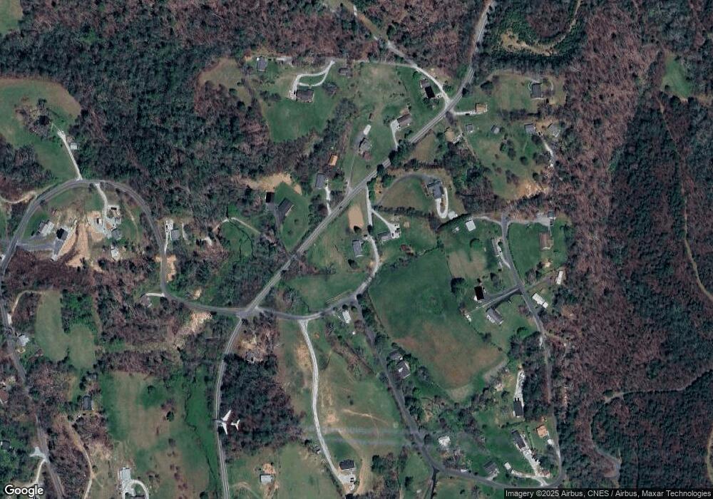
Map
Nearby Homes
- 660 Halltown Rd
- 1305 Halltown Rd
- 1086 Carters Ridge Rd
- 282 Sourwood Dr
- 1174 Apple Ln
- 5 Acres Blue Ridge Pkwy
- TBD Blue Ridge Pkwy Unit 3
- TBD Continental Divide Rd Unit C3
- 183 Maple Rd
- 457 Dale Rd
- 0 Shangrila Trail Unit CAR4281490
- 2+/- Acres N Carolina 226
- 000 Vaughn Rd
- 457 Overlook Dr
- 6 Woodland St
- 0 Dragonfly Unit Lot 3
- 765 Dale Rd
- 565 Overlook Dr
- 655 Overlook Dr Unit C
- 191 Pack Dr
- 49 Allen Ln
- 00 Allen Mountain Ln
- 615 Barney McKinney Rd
- 746 Halltown Rd
- 768 Halltown Rd
- 31 Allen Ln
- 696 Halltown Rd
- 94 Barney McKinney Rd
- 60 Barney McKinney Rd
- 528 Barney McKinney Rd
- 160 Barney McKinney Rd
- 146 Barney McKinney Rd
- 20 Old Hall Store Rd
- 20 Old Hall Store Rd
- 642 Barney McKinney Rd
- 681 Halltown Rd
- 63 Cook Ln
- 542 Allen Valley Ln
- 120 George McKinney Cir
- 17 Vance Farm Rd