Estimated Value: $399,000 - $555,000
3
Beds
2
Baths
2,018
Sq Ft
$234/Sq Ft
Est. Value
About This Home
This home is located at 52 Chase Hill Rd, Weare, NH 03281 and is currently estimated at $473,061, approximately $234 per square foot. 52 Chase Hill Rd is a home with nearby schools including Center Woods Elementary School, Weare Middle School, and John Stark Regional High School.
Ownership History
Date
Name
Owned For
Owner Type
Purchase Details
Closed on
Apr 21, 2016
Sold by
Oday Thomas M
Bought by
Thomas M Oday Ret
Current Estimated Value
Purchase Details
Closed on
Oct 5, 2012
Sold by
Oday Anthony
Bought by
Oday Thomas M
Home Financials for this Owner
Home Financials are based on the most recent Mortgage that was taken out on this home.
Original Mortgage
$155,000
Interest Rate
3.66%
Mortgage Type
Purchase Money Mortgage
Create a Home Valuation Report for This Property
The Home Valuation Report is an in-depth analysis detailing your home's value as well as a comparison with similar homes in the area
Home Values in the Area
Average Home Value in this Area
Purchase History
| Date | Buyer | Sale Price | Title Company |
|---|---|---|---|
| Thomas M Oday Ret | -- | -- | |
| Oday Thomas M | -- | -- |
Source: Public Records
Mortgage History
| Date | Status | Borrower | Loan Amount |
|---|---|---|---|
| Previous Owner | Oday Thomas M | $155,000 |
Source: Public Records
Tax History Compared to Growth
Tax History
| Year | Tax Paid | Tax Assessment Tax Assessment Total Assessment is a certain percentage of the fair market value that is determined by local assessors to be the total taxable value of land and additions on the property. | Land | Improvement |
|---|---|---|---|---|
| 2024 | $6,384 | $313,082 | $132,882 | $180,200 |
| 2023 | $5,908 | $313,567 | $133,367 | $180,200 |
| 2022 | $5,435 | $312,351 | $133,351 | $179,000 |
| 2021 | $5,371 | $312,289 | $133,289 | $179,000 |
| 2020 | $5,610 | $234,230 | $113,930 | $120,300 |
| 2019 | $5,554 | $234,230 | $113,930 | $120,300 |
| 2018 | $5,067 | $234,279 | $113,979 | $120,300 |
| 2016 | $5,240 | $234,246 | $113,946 | $120,300 |
| 2015 | $5,745 | $256,359 | $135,759 | $120,600 |
| 2014 | $5,694 | $256,392 | $135,792 | $120,600 |
| 2013 | $5,869 | $269,835 | $151,335 | $118,500 |
Source: Public Records
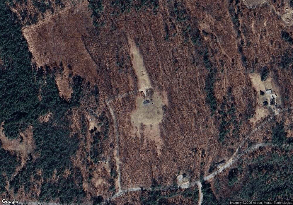
Map
Nearby Homes
- 457 Reservoir Dr
- 108 E Shore Dr
- 101-125 Winslow Rd
- 59 E Shore Dr
- 107 Branch Rd
- 114 Reservoir Dr
- 463 Craney Hill Rd
- 30 Dels Way
- 207 Thorndike Rd
- 586 C-4 Craney Hill Rd
- 233 N Stark Hwy
- 92 Woodbury Rd
- 396 Flanders Memorial Rd
- 194 Buckley Rd Unit 62
- 194 Buckley Rd Unit 2
- 194 Buckley Rd Unit 78
- 1747 River Rd
- 56 E Deering Rd
- 1376 Deering Center Rd
- 9 Reservoir Rd
- 23 Chase Hill Rd
- 540 Reservoir Dr
- 562 Reservoir Dr
- 18 Russell Dr
- 20 Brown Hill Rd
- 33 Russell Dr
- 35 Russell Dr
- 617 Reservoir Dr
- 428 Reservoir Dr
- 618 Reservoir Dr
- 52 Collins Landing Rd Unit 87
- 55 Collins Landing Rd Unit 71
- 55 Collins Landing Rd Unit 69
- 55 Collins Landing Rd Unit 68
- 55 Collins Landing Rd Unit 70
- 55 Collins Landing Rd Unit 73
- 55 Collins Landing Rd Unit 72
- 55 Collins Landing Rd Unit 74
- 55 Collins Landing Rd Unit 71
- 55 Collins Landing Rd Unit 75