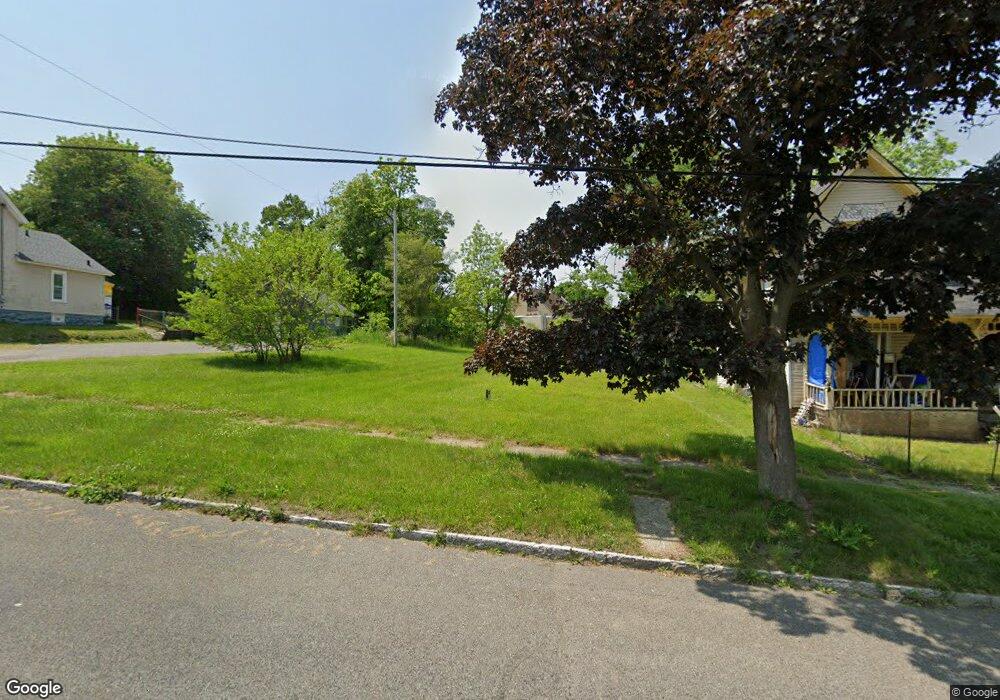
52 Cleveland St Battle Creek, MI 49037
Central Battle Creek NeighborhoodEstimated Value: $83,000 - $109,000
3
Beds
1
Bath
1,236
Sq Ft
$80/Sq Ft
Est. Value
About This Home
This home is located at 52 Cleveland St, Battle Creek, MI 49037 and is currently estimated at $99,333, approximately $80 per square foot. 52 Cleveland St is a home located in Calhoun County with nearby schools including Ann J. Kellogg School, Springfield Middle School, and Battle Creek Central High School.
Ownership History
Date
Name
Owned For
Owner Type
Purchase Details
Closed on
Jan 13, 2017
Sold by
Calhoun County Land Bank Authority
Bought by
45 Cleveland Llc
Current Estimated Value
Purchase Details
Closed on
Dec 12, 2013
Sold by
Calhoun County Treasurer
Bought by
Calhoun County Land Bank Authority
Purchase Details
Closed on
Aug 29, 2011
Sold by
The Bank Of New York Mellon Trust Co N A
Bought by
Us Reo Fund X
Purchase Details
Closed on
Aug 26, 2010
Sold by
Paradine Ralph A and Paradine Shirley R
Bought by
The Bank Of New York Mellon Trust Co N A
Purchase Details
Closed on
Nov 20, 1998
Bought by
Paradine
Purchase Details
Closed on
Sep 19, 1998
Bought by
Paradine
Purchase Details
Closed on
Apr 25, 1995
Bought by
First Free Methodist Church
Create a Home Valuation Report for This Property
The Home Valuation Report is an in-depth analysis detailing your home's value as well as a comparison with similar homes in the area
Home Values in the Area
Average Home Value in this Area
Purchase History
| Date | Buyer | Sale Price | Title Company |
|---|---|---|---|
| 45 Cleveland Llc | $750 | First American Title Ins Co | |
| Calhoun County Land Bank Authority | -- | None Available | |
| Us Reo Fund X | -- | None Available | |
| The Bank Of New York Mellon Trust Co N A | $31,500 | None Available | |
| Paradine | $9,600 | -- | |
| Paradine | $9,600 | -- | |
| First Free Methodist Church | -- | -- |
Source: Public Records
Tax History Compared to Growth
Tax History
| Year | Tax Paid | Tax Assessment Tax Assessment Total Assessment is a certain percentage of the fair market value that is determined by local assessors to be the total taxable value of land and additions on the property. | Land | Improvement |
|---|---|---|---|---|
| 2025 | -- | $4,800 | $0 | $0 |
| 2024 | $170 | $3,603 | $0 | $0 |
| 2023 | $68 | $2,402 | $0 | $0 |
| 2022 | $48 | $1,681 | $0 | $0 |
| 2021 | $64 | $1,441 | $0 | $0 |
| 2020 | $62 | $1,201 | $0 | $0 |
| 2019 | $58 | $961 | $0 | $0 |
| 2018 | $58 | $961 | $961 | $0 |
| 2017 | -- | $721 | $0 | $0 |
| 2016 | -- | $5,240 | $0 | $0 |
| 2015 | -- | $5,240 | $5,240 | $0 |
| 2014 | -- | $5,240 | $5,240 | $0 |
Source: Public Records
Map
Nearby Homes
- 66 Cleveland St
- 17 Tennyson Ave
- 96 Battle Creek Ave
- 57 Boulder St
- 21 Spring St
- 171 Goguac St W
- 71 Burnham St W
- 210 Battle Creek Ave
- 35 Eldred St
- 212 Goguac St W
- 51 Pauline Ave
- 180 Upton Ave
- 30 Harris St
- 296 Meachem Ave
- 178 Webber St
- 39 Harris St
- 207 Upton Ave Unit V/L
- 211 Upton Ave Unit V/L
- 0 Riverside Pkwy Unit 25036355
- 1 Grand Blvd
- 50 Cleveland St
- 64 Cleveland St
- 44 Cleveland St
- 63 Cleveland St
- 70 Cleveland St
- 67 Cleveland St
- 24 Rittenhouse Ave E
- 74 Cleveland St
- 70 Baker Ct
- 76 Baker Ct
- 73 Cleveland St
- 72 Baker Ct
- 0 Baker Ct
- 767880 Baker Ct
- 52 Bluff St
- 18 E Rittenhouse Ave
- 80 Cleveland St
- 265 Capital Ave SW
- 64 Bluff St
- 112 Baker Ct