52 Commons Dr Pottstown, PA 19464
Estimated Value: $349,000 - $380,971
3
Beds
3
Baths
1,596
Sq Ft
$230/Sq Ft
Est. Value
About This Home
This home is located at 52 Commons Dr, Pottstown, PA 19464 and is currently estimated at $367,243, approximately $230 per square foot. 52 Commons Dr is a home located in Montgomery County with nearby schools including Lower Pottsgrove Elementary School, Pottsgrove Middle School, and Pottsgrove Senior High School.
Ownership History
Date
Name
Owned For
Owner Type
Purchase Details
Closed on
May 26, 2021
Sold by
Weaver William L and Weaver Wendy R
Bought by
Rhoads Aaron R and Bortz Rachel G
Current Estimated Value
Home Financials for this Owner
Home Financials are based on the most recent Mortgage that was taken out on this home.
Original Mortgage
$218,500
Interest Rate
2.9%
Mortgage Type
New Conventional
Purchase Details
Closed on
Jul 30, 1999
Sold by
Graham William J and Graham Susan
Bought by
Weaver Wendy R and Weaver William L
Create a Home Valuation Report for This Property
The Home Valuation Report is an in-depth analysis detailing your home's value as well as a comparison with similar homes in the area
Home Values in the Area
Average Home Value in this Area
Purchase History
| Date | Buyer | Sale Price | Title Company |
|---|---|---|---|
| Rhoads Aaron R | $230,000 | None Available | |
| Weaver Wendy R | $126,000 | -- |
Source: Public Records
Mortgage History
| Date | Status | Borrower | Loan Amount |
|---|---|---|---|
| Previous Owner | Rhoads Aaron R | $218,500 |
Source: Public Records
Tax History Compared to Growth
Tax History
| Year | Tax Paid | Tax Assessment Tax Assessment Total Assessment is a certain percentage of the fair market value that is determined by local assessors to be the total taxable value of land and additions on the property. | Land | Improvement |
|---|---|---|---|---|
| 2025 | $6,028 | $122,620 | $33,530 | $89,090 |
| 2024 | $6,028 | $122,620 | $33,530 | $89,090 |
| 2023 | $5,841 | $122,620 | $33,530 | $89,090 |
| 2022 | $5,753 | $122,620 | $33,530 | $89,090 |
| 2021 | $5,640 | $122,620 | $33,530 | $89,090 |
| 2020 | $5,588 | $122,620 | $33,530 | $89,090 |
| 2019 | $5,558 | $122,620 | $33,530 | $89,090 |
| 2018 | $5,559 | $122,620 | $33,530 | $89,090 |
| 2017 | $5,510 | $122,620 | $33,530 | $89,090 |
| 2016 | $5,462 | $122,620 | $33,530 | $89,090 |
| 2015 | $5,337 | $122,620 | $33,530 | $89,090 |
| 2014 | $5,337 | $122,620 | $33,530 | $89,090 |
Source: Public Records
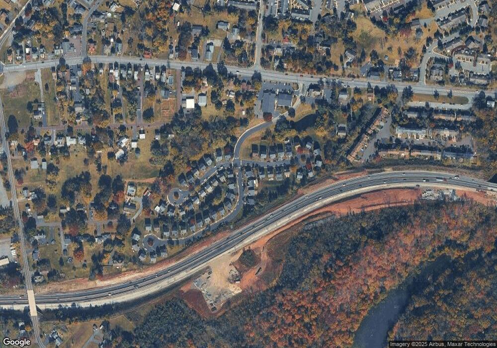
Map
Nearby Homes
- 2580 Allison Dr Unit 3
- 260 Hause Ave
- 217 S Park Rd
- 154 Van Fleet Cir
- 527 Maple Glen Cir
- 139 Nelson Ln
- 418 Maple Glen Cir Unit 418
- 20 1st Ave
- 119 Nelson Ln
- 110 Nelson Ln
- 416 Pinetree Ct
- 2088 E High St
- 233 Creekside Dr
- 2933 E High St
- 3000 E High St Unit 1
- 53 Brookview Ln
- 1511 Rosewood Ct
- 3805 Walnut Ridge Dr
- 3603 Walnut Ridge Estate
- 3501 Walnut Ridge Estate
- 54 Commons Dr
- 35 Blackberry Dr
- 21 Blackberry Dr
- 56 Commons Dr
- 20 Blackberry Dr
- 53 Commons Dr
- 23 Blackberry Dr
- 22 Blackberry Dr
- 37 Blackberry Dr
- 55 Commons Dr
- 36 Blackberry Dr
- 25 Blackberry Dr
- 24 Blackberry Dr
- 39 Blackberry Dr
- 38 Blackberry Dr
- 57 Commons Dr
- 58 Commons Dr
- 26 Blackberry Dr
- 27 Blackberry Dr
- 41 Blackberry Dr