52 Dates Rd Lansing, NY 14882
Lansing NeighborhoodEstimated Value: $425,000 - $558,000
3
Beds
3
Baths
2,052
Sq Ft
$237/Sq Ft
Est. Value
About This Home
This home is located at 52 Dates Rd, Lansing, NY 14882 and is currently estimated at $487,020, approximately $237 per square foot. 52 Dates Rd is a home with nearby schools including Raymond C. Buckley Elementary School, Lansing Middle School, and Lansing High School.
Ownership History
Date
Name
Owned For
Owner Type
Purchase Details
Closed on
Oct 28, 2014
Sold by
Lisi Joseph
Bought by
Lisi Joseph P and Lisi
Current Estimated Value
Home Financials for this Owner
Home Financials are based on the most recent Mortgage that was taken out on this home.
Original Mortgage
$217,422
Outstanding Balance
$166,553
Interest Rate
4%
Mortgage Type
New Conventional
Estimated Equity
$320,467
Purchase Details
Closed on
Jun 12, 2012
Sold by
Barron Paul E
Bought by
Lisi Joseph
Create a Home Valuation Report for This Property
The Home Valuation Report is an in-depth analysis detailing your home's value as well as a comparison with similar homes in the area
Home Values in the Area
Average Home Value in this Area
Purchase History
| Date | Buyer | Sale Price | Title Company |
|---|---|---|---|
| Lisi Joseph P | -- | Katrina Thaler Medeiros | |
| Lisi Joseph | $30,000 | Katrina Medeiros |
Source: Public Records
Mortgage History
| Date | Status | Borrower | Loan Amount |
|---|---|---|---|
| Open | Lisi Joseph P | $217,422 |
Source: Public Records
Tax History
| Year | Tax Paid | Tax Assessment Tax Assessment Total Assessment is a certain percentage of the fair market value that is determined by local assessors to be the total taxable value of land and additions on the property. | Land | Improvement |
|---|---|---|---|---|
| 2024 | $8,282 | $330,000 | $31,500 | $298,500 |
| 2023 | $7,338 | $265,000 | $31,500 | $233,500 |
| 2022 | $7,331 | $252,000 | $31,500 | $220,500 |
| 2021 | $7,223 | $240,000 | $31,500 | $208,500 |
| 2020 | $6,988 | $230,000 | $31,500 | $198,500 |
| 2019 | $2,082 | $230,000 | $31,500 | $198,500 |
| 2018 | $6,923 | $230,000 | $31,500 | $198,500 |
| 2017 | $6,785 | $225,000 | $29,500 | $195,500 |
| 2016 | $6,744 | $225,000 | $29,500 | $195,500 |
| 2015 | -- | $90,000 | $29,500 | $60,500 |
| 2014 | -- | $29,500 | $29,500 | $0 |
Source: Public Records
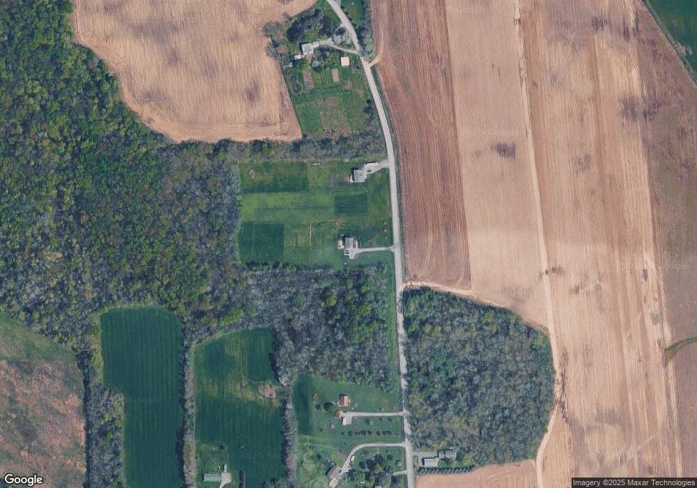
Map
Nearby Homes
- 424 Lansingville Rd
- 88 Dublin Rd
- 108 Davis Rd
- 0 Lansing Station Rd Unit 408039
- 1613 Ridge Rd
- 328 Indian Field Rd
- 5 Marion Ln
- 395 Conlon Rd
- 1768 Atwater Rd
- 77 Searles Rd
- 120 N Lansing School Rd
- 53 Karn Rd
- 0 Wilson Lot 1 Rd
- 5234 Oak Harbor Rd- Lot #10
- 153 Ridge Rd
- 39 Ridge Rd
- Rt-90 Unit LotWP001
- 1042 Maple St
- 1081 Kraft Rd
- 8896 State Route 90 N
- 28 Dates Rd
- 86 Dates Rd
- 20 Dutch Hill Rd
- 14 Dates Rd
- 13 Dates Rd
- 10 Dates Rd
- 115 Dates Rd
- 334 Jerry Smith Rd
- 336 Jerry Smith Rd
- 6 Dates Rd
- 0 Dates Rd
- 330 Jerry Smith Rd
- 121 Dates Rd
- 339 Jerry Smith Rd
- 340 Jerry Smith Rd
- 286 Jerry Smith Rd
- 361 Jerry Smith Rd
- 134 Dates Rd
- 147 Dates Rd
- 409 Jerry Smith Rd
Your Personal Tour Guide
Ask me questions while you tour the home.