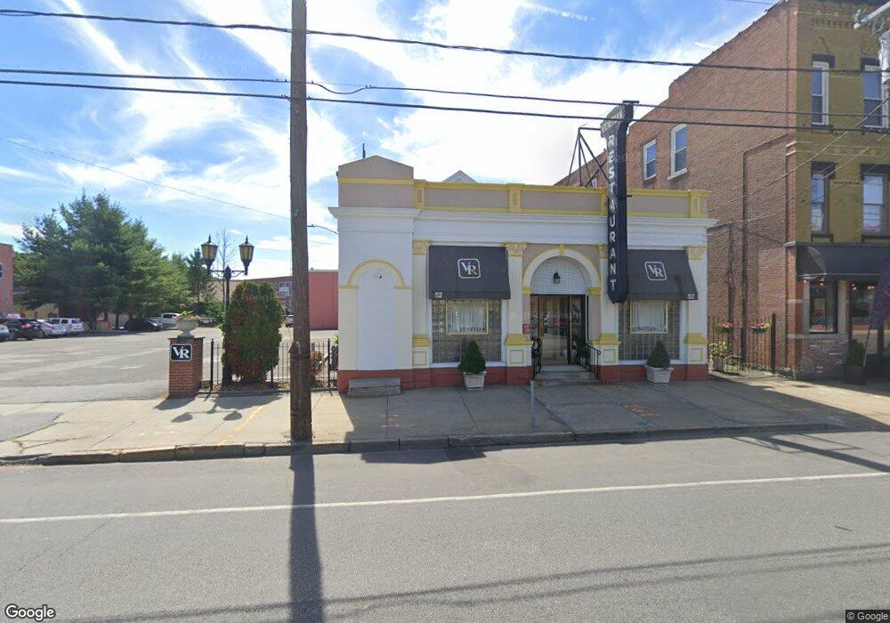
52 E Main St Torrington, CT 06790
Estimated Value: $691,517
Studio
--
Bath
4,268
Sq Ft
$162/Sq Ft
Est. Value
About This Home
This home is located at 52 E Main St, Torrington, CT 06790 and is currently estimated at $691,517, approximately $162 per square foot. 52 E Main St is a home located in Litchfield County with nearby schools including Torrington Middle School, Torrington High School, and St. Peter School.
Ownership History
Date
Name
Owned For
Owner Type
Purchase Details
Closed on
Sep 5, 1995
Sold by
Dilullo Joseph C
Bought by
Dilullo Michele
Current Estimated Value
Home Financials for this Owner
Home Financials are based on the most recent Mortgage that was taken out on this home.
Original Mortgage
$122,500
Interest Rate
2%
Mortgage Type
Commercial
Create a Home Valuation Report for This Property
The Home Valuation Report is an in-depth analysis detailing your home's value as well as a comparison with similar homes in the area
Home Values in the Area
Average Home Value in this Area
Purchase History
| Date | Buyer | Sale Price | Title Company |
|---|---|---|---|
| Dilullo Michele | $175,000 | -- |
Source: Public Records
Mortgage History
| Date | Status | Borrower | Loan Amount |
|---|---|---|---|
| Closed | Dilullo Michele | $122,500 | |
| Previous Owner | Dilullo Michele | $228,000 |
Source: Public Records
Tax History
| Year | Tax Paid | Tax Assessment Tax Assessment Total Assessment is a certain percentage of the fair market value that is determined by local assessors to be the total taxable value of land and additions on the property. | Land | Improvement |
|---|---|---|---|---|
| 2025 | $8,882 | $231,000 | $47,040 | $183,960 |
| 2024 | $12,466 | $259,880 | $49,020 | $210,860 |
| 2023 | $12,464 | $259,880 | $49,020 | $210,860 |
| 2022 | $12,251 | $259,880 | $49,020 | $210,860 |
| 2021 | $12,480 | $270,310 | $49,030 | $221,280 |
| 2020 | $12,480 | $270,310 | $49,030 | $221,280 |
| 2019 | $11,223 | $243,080 | $46,890 | $196,190 |
| 2018 | $11,223 | $243,080 | $46,890 | $196,190 |
| 2017 | $11,121 | $243,080 | $46,890 | $196,190 |
| 2016 | $11,121 | $243,080 | $46,890 | $196,190 |
| 2015 | $11,121 | $243,080 | $46,890 | $196,190 |
| 2014 | $9,670 | $266,250 | $61,280 | $204,970 |
Source: Public Records
Map
Nearby Homes
Your Personal Tour Guide
Ask me questions while you tour the home.