52 Fernald Crossing Wolfeboro, NH 03894
Estimated Value: $552,150 - $1,111,000
3
Beds
2
Baths
2,171
Sq Ft
$383/Sq Ft
Est. Value
About This Home
This home is located at 52 Fernald Crossing, Wolfeboro, NH 03894 and is currently estimated at $831,538, approximately $383 per square foot. 52 Fernald Crossing is a home located in Carroll County with nearby schools including Carpenter Elementary School, Crescent Lake School, and Kingswood Regional Middle School.
Ownership History
Date
Name
Owned For
Owner Type
Purchase Details
Closed on
Dec 9, 2020
Sold by
Kenneth A Stedman T
Bought by
Baldwin Ft
Current Estimated Value
Purchase Details
Closed on
Aug 31, 2017
Sold by
Baldwin Richard E
Bought by
Baldwin Ft
Purchase Details
Closed on
Mar 17, 2014
Sold by
Baldwin Joan M
Bought by
Baldwin Richard Earl
Create a Home Valuation Report for This Property
The Home Valuation Report is an in-depth analysis detailing your home's value as well as a comparison with similar homes in the area
Home Values in the Area
Average Home Value in this Area
Purchase History
| Date | Buyer | Sale Price | Title Company |
|---|---|---|---|
| Baldwin Ft | -- | None Available | |
| Baldwin Ft | -- | -- | |
| Baldwin Richard Earl | $150,000 | -- |
Source: Public Records
Tax History Compared to Growth
Tax History
| Year | Tax Paid | Tax Assessment Tax Assessment Total Assessment is a certain percentage of the fair market value that is determined by local assessors to be the total taxable value of land and additions on the property. | Land | Improvement |
|---|---|---|---|---|
| 2024 | $5,980 | $376,100 | $169,700 | $206,400 |
| 2023 | $5,525 | $376,100 | $169,700 | $206,400 |
| 2022 | $4,972 | $376,100 | $169,700 | $206,400 |
| 2021 | $5,141 | $376,100 | $169,700 | $206,400 |
| 2020 | $4,905 | $377,000 | $169,700 | $207,300 |
| 2019 | $5,189 | $327,600 | $169,700 | $157,900 |
| 2018 | $5,176 | $327,600 | $169,700 | $157,900 |
| 2017 | $4,907 | $327,600 | $169,700 | $157,900 |
| 2016 | $4,793 | $327,600 | $169,700 | $157,900 |
| 2015 | $4,559 | $326,800 | $169,700 | $157,100 |
| 2014 | $4,637 | $356,400 | $193,100 | $163,300 |
| 2013 | $4,573 | $356,400 | $193,100 | $163,300 |
Source: Public Records
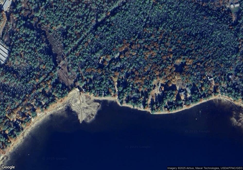
Map
Nearby Homes
- 1237 Center St
- 42 College Rd
- 69 College Rd
- Map 102 L 4 Center St
- 78 College Rd
- 883 Center St
- 408 Governor Wentworth Hwy Unit 44
- 0 Camp Rd Unit 5022980
- 7 Shady Ln
- 10 Granite Ln
- 00 Trask Mountain (Lot 3) Rd Unit 3
- 108 Whitten Neck Rd
- 29 Birch Hill Estates Rd
- 4 June Bug Ln
- 475 Governor Wentworth Hwy
- 269 Trotting Track Rd
- 172 Center St
- Map 20 Lot 13 Beach Pond Rd
- 79 River St
- 00 Beach Pond Rd Unit 35
- 50 Fernald Crossing
- 58 Fernald Crossing
- 53 Fernald Crossing
- 57 Fernald Crossing
- 1 Fern Ave
- 1 Fern Ave Unit 4
- 1 Fern Ave Unit 3
- 1 Farm Island
- 59 Fernald Crossing
- 2 Fern Ave
- 2 Fern Ave Unit 6
- 2 Fern Ave Unit 7
- 36 Fernald Crossing
- 60 Fernald Crossing
- 61 Fernald Crossing
- 38 Fernald Crossing
- 45 Fernald Crossing
- 6 Fern Ave
- 64 Fernald Crossing
- 5 Fern Ave