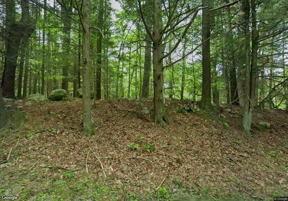
52 Flatbrook Rd Sandyston, NJ 07826
Estimated Value: $320,766 - $445,000
--
Bed
--
Bath
1,296
Sq Ft
$313/Sq Ft
Est. Value
About This Home
This home is located at 52 Flatbrook Rd, Sandyston, NJ 07826 and is currently estimated at $405,442, approximately $312 per square foot. 52 Flatbrook Rd is a home located in Sussex County with nearby schools including Sandyston-Walpack Consolidated School and Kittatinny Regional High School.
Ownership History
Date
Name
Owned For
Owner Type
Purchase Details
Closed on
May 10, 2006
Sold by
Herrschaft Lester F and Herrschaft Dorothy A
Bought by
Zboyan Dean
Current Estimated Value
Home Financials for this Owner
Home Financials are based on the most recent Mortgage that was taken out on this home.
Original Mortgage
$200,000
Outstanding Balance
$115,964
Interest Rate
6.42%
Mortgage Type
Purchase Money Mortgage
Estimated Equity
$289,478
Create a Home Valuation Report for This Property
The Home Valuation Report is an in-depth analysis detailing your home's value as well as a comparison with similar homes in the area
Home Values in the Area
Average Home Value in this Area
Purchase History
| Date | Buyer | Sale Price | Title Company |
|---|---|---|---|
| Zboyan Dean | $335,000 | Scott Title Services Llc |
Source: Public Records
Mortgage History
| Date | Status | Borrower | Loan Amount |
|---|---|---|---|
| Open | Zboyan Dean | $200,000 |
Source: Public Records
Tax History Compared to Growth
Tax History
| Year | Tax Paid | Tax Assessment Tax Assessment Total Assessment is a certain percentage of the fair market value that is determined by local assessors to be the total taxable value of land and additions on the property. | Land | Improvement |
|---|---|---|---|---|
| 2025 | $6,386 | $202,100 | $101,900 | $100,200 |
| 2024 | $6,192 | $202,100 | $101,900 | $100,200 |
| 2023 | $6,192 | $202,100 | $101,900 | $100,200 |
| 2022 | $5,917 | $202,100 | $101,900 | $100,200 |
| 2021 | $5,734 | $202,100 | $101,900 | $100,200 |
| 2020 | $5,495 | $202,100 | $101,900 | $100,200 |
| 2019 | $5,257 | $202,100 | $101,900 | $100,200 |
| 2018 | $5,224 | $202,100 | $101,900 | $100,200 |
| 2017 | $5,135 | $202,100 | $101,900 | $100,200 |
| 2016 | $5,160 | $202,100 | $101,900 | $100,200 |
| 2015 | $4,982 | $202,100 | $101,900 | $100,200 |
| 2014 | $5,736 | $279,400 | $169,400 | $110,000 |
Source: Public Records
Map
Nearby Homes
- 11 Hirams Grove Rd
- 13 Sunrise Trail
- 4 Butternut Ln
- 113 County Road 560
- 113 Rt560
- 119 Rte 560
- 00 Devita Rd
- 111 County Road 645
- 155 Route560
- 12 Old Dingman Rd
- 43 Meyers Rd
- 9 Woods Rd
- 13 U S 206
- 4 Lake Path 1
- 461 U S Highway 206
- 27 Mountain Trail
- 95 Woods Rd
- 161A County Road 645
- 163 County Road 645
- 216 Mattison Reservoir Ave
- 50 Flatbrook Rd
- 49 Flatbrook Rd
- 47 Flatbrook Rd
- 48 Flatbrook Rd
- 46 Flatbrook Rd
- 51 Flatbrook Rd
- 35 Hotalen Rd
- 44 Flatbrook Rd
- 55 Flatbrook Rd
- 0 Flatbrook Rd
- 33 Hotalen Rd
- 54 Flatbrook Rd
- 59 Flatbrook Rd
- 43 Flatbrook Rd
- 57 Flatbrook Rd
- 31 Hotalen Rd
- 61 Flatbrook Rd
- 4 Hirams Grove Rd
- 26 Hotalen Rd
- 56 Flatbrook Rd
