52 Georgetown Dr Nashua, NH 03062
Southwest Nashua NeighborhoodEstimated Value: $551,000 - $579,000
3
Beds
2
Baths
2,069
Sq Ft
$273/Sq Ft
Est. Value
About This Home
This home is located at 52 Georgetown Dr, Nashua, NH 03062 and is currently estimated at $565,724, approximately $273 per square foot. 52 Georgetown Dr is a home located in Hillsborough County with nearby schools including Bicentennial Elementary School, Fairgrounds Middle School, and Nashua High School South.
Ownership History
Date
Name
Owned For
Owner Type
Purchase Details
Closed on
Sep 29, 2016
Sold by
Alappatt Johny J and Joby Anindit
Bought by
Wu Lingsong and Zhang Yaxin
Current Estimated Value
Home Financials for this Owner
Home Financials are based on the most recent Mortgage that was taken out on this home.
Original Mortgage
$219,000
Outstanding Balance
$173,021
Interest Rate
3.43%
Mortgage Type
Purchase Money Mortgage
Estimated Equity
$392,703
Purchase Details
Closed on
Jan 2, 2008
Sold by
Dejesus Euell and Dejesus Stacy
Bought by
Alappatt Johny J and Joby Anindita
Home Financials for this Owner
Home Financials are based on the most recent Mortgage that was taken out on this home.
Original Mortgage
$289,750
Interest Rate
6.27%
Purchase Details
Closed on
Mar 1, 2002
Sold by
Georgetowne-Nashua Llc
Bought by
Tannous Abdallah N
Create a Home Valuation Report for This Property
The Home Valuation Report is an in-depth analysis detailing your home's value as well as a comparison with similar homes in the area
Home Values in the Area
Average Home Value in this Area
Purchase History
| Date | Buyer | Sale Price | Title Company |
|---|---|---|---|
| Wu Lingsong | $293,533 | -- | |
| Alappatt Johny J | $305,000 | -- | |
| Tannous Abdallah N | $265,500 | -- |
Source: Public Records
Mortgage History
| Date | Status | Borrower | Loan Amount |
|---|---|---|---|
| Open | Wu Lingsong | $219,000 | |
| Previous Owner | Tannous Abdallah N | $240,000 | |
| Previous Owner | Tannous Abdallah N | $289,750 | |
| Previous Owner | Tannous Abdallah N | $64,000 | |
| Previous Owner | Tannous Abdallah N | $103,000 |
Source: Public Records
Tax History
| Year | Tax Paid | Tax Assessment Tax Assessment Total Assessment is a certain percentage of the fair market value that is determined by local assessors to be the total taxable value of land and additions on the property. | Land | Improvement |
|---|---|---|---|---|
| 2025 | $8,726 | $518,500 | $0 | $518,500 |
| 2024 | $8,244 | $518,500 | $0 | $518,500 |
| 2023 | $7,781 | $426,800 | $0 | $426,800 |
| 2022 | $7,712 | $426,800 | $0 | $426,800 |
| 2021 | $7,087 | $305,200 | $0 | $305,200 |
| 2020 | $6,901 | $305,200 | $0 | $305,200 |
| 2019 | $6,641 | $305,200 | $0 | $305,200 |
| 2018 | $6,473 | $305,200 | $0 | $305,200 |
| 2017 | $6,855 | $265,800 | $0 | $265,800 |
| 2016 | $6,664 | $265,800 | $0 | $265,800 |
| 2015 | $6,520 | $265,800 | $0 | $265,800 |
| 2014 | $6,392 | $265,800 | $0 | $265,800 |
Source: Public Records
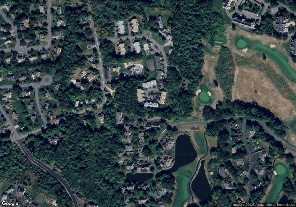
Map
Nearby Homes
- 6 Green Heron Ln Unit U22
- 38 Georgetown Dr
- 20 Georgetown Dr
- 11 Lojko Dr
- 16 Stillwater Dr Unit U111
- 141 Ridge Rd
- 13 Wilderness Dr
- 8 Wilderness Dr
- 58 Wilderness Dr
- 8 Hikers Ln
- 4 Hikers Ln
- 17 Legacy Dr
- 4 Wilderness Dr
- 15 Wilderness Dr
- 79 Wilderness Dr
- 2 Wilderness Dr
- 57 Wilderness Dr
- 3 Wilderness Dr
- 6 Wilderness Dr
- 77 Wilderness Dr
- 52 Georgetown Dr Unit 52
- 54 Georgetown Dr
- 54 Georgetown Dr Unit 54
- 50 Georgetown Dr
- 56 Georgetown Dr
- 48 Georgetown Dr
- 58 Georgetown Dr
- 60 Georgetown Dr
- 62 Georgetown Dr
- 64 Georgetown Dr
- 64 Georgetown Dr Unit 64
- 66 Georgetown Dr
- 68 Georgetown Dr
- 47 Georgetown Dr
- 49 Georgetown Dr
- 51 Georgetown Dr Unit 51
- 51 Georgetown Dr Unit 53
- 51 Georgetown Dr
- 70 Georgetown Dr
- 45 Georgetown Dr
Your Personal Tour Guide
Ask me questions while you tour the home.