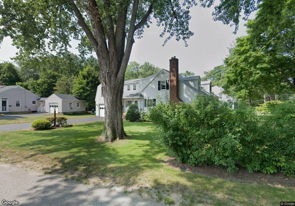
52 High St Kennebunk, ME 04043
Estimated Value: $658,080 - $739,000
3
Beds
3
Baths
2,576
Sq Ft
$278/Sq Ft
Est. Value
About This Home
This home is located at 52 High St, Kennebunk, ME 04043 and is currently estimated at $715,270, approximately $277 per square foot. 52 High St is a home located in York County with nearby schools including Kennebunk High School, School Around Us, and The New School.
Create a Home Valuation Report for This Property
The Home Valuation Report is an in-depth analysis detailing your home's value as well as a comparison with similar homes in the area
Home Values in the Area
Average Home Value in this Area
Tax History
| Year | Tax Paid | Tax Assessment Tax Assessment Total Assessment is a certain percentage of the fair market value that is determined by local assessors to be the total taxable value of land and additions on the property. | Land | Improvement |
|---|---|---|---|---|
| 2024 | $6,082 | $358,800 | $78,800 | $280,000 |
| 2023 | $5,759 | $358,800 | $78,800 | $280,000 |
| 2022 | $5,238 | $358,800 | $78,800 | $280,000 |
| 2021 | $4,757 | $358,800 | $78,800 | $280,000 |
| 2020 | $5,077 | $358,800 | $78,800 | $280,000 |
| 2019 | $13,976 | $358,800 | $78,800 | $280,000 |
| 2018 | $4,709 | $269,100 | $59,100 | $210,000 |
| 2017 | $4,454 | $269,100 | $59,100 | $210,000 |
| 2016 | $4,279 | $269,100 | $59,100 | $210,000 |
| 2015 | $3,972 | $269,100 | $59,100 | $210,000 |
| 2014 | $3,868 | $269,100 | $59,100 | $210,000 |
Source: Public Records
Map
Nearby Homes
- 24 Cat Mousam Rd
- 17 Legacy Ln
- 30 York St Unit 1
- Lot 2 Creekside Ct Unit 2
- 4 Cider Mill Ln
- 60 Brown St Unit 2
- 59 Plymouth Grove Unit 11
- 14 Lawrence Ln
- 61 Fletcher St
- 15 Casey Ln
- 22 Winchester Ct
- 17 Hampton Glen Dr Unit 5
- 16 Oakwood Ln Unit 16
- 22 Oakwood Ln
- 6 Dunnhill Dr Unit 28
- 4 Conservation Dr
- 23 Lilac Ln
- 19 Old Alewive Rd
- 18 Longwood Dr
- 10 Chickadee Ln
Your Personal Tour Guide
Ask me questions while you tour the home.