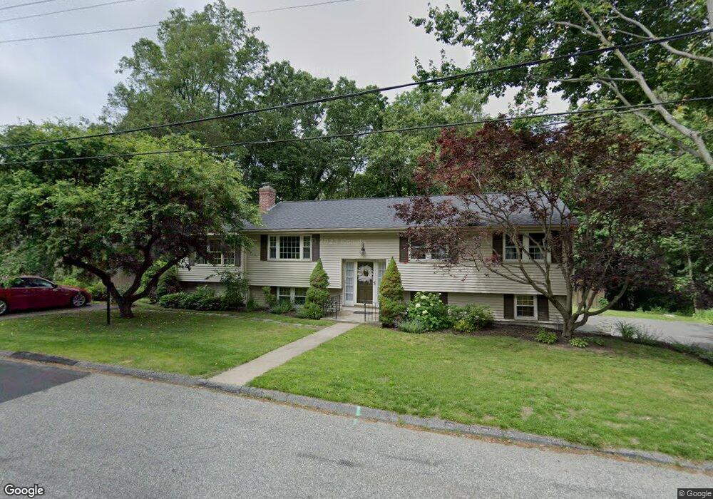
52 Howe Ave Shrewsbury, MA 01545
Estimated Value: $625,000 - $700,000
4
Beds
2
Baths
1,410
Sq Ft
$462/Sq Ft
Est. Value
About This Home
This home is located at 52 Howe Ave, Shrewsbury, MA 01545 and is currently estimated at $651,407, approximately $461 per square foot. 52 Howe Ave is a home located in Worcester County with nearby schools including Sherwood Middle School, Floral Street School, and Oak Middle School.
Ownership History
Date
Name
Owned For
Owner Type
Purchase Details
Closed on
Jan 26, 2022
Sold by
Vanslyke Paul and Vanslyke Pamela
Bought by
Vanslyke Pamela
Current Estimated Value
Home Financials for this Owner
Home Financials are based on the most recent Mortgage that was taken out on this home.
Original Mortgage
$321,000
Outstanding Balance
$297,710
Interest Rate
3.45%
Mortgage Type
New Conventional
Estimated Equity
$353,697
Purchase Details
Closed on
Jun 30, 1998
Sold by
Mcgrath Susan E
Bought by
Vanslyke Paul and Vanslyke Pamela
Create a Home Valuation Report for This Property
The Home Valuation Report is an in-depth analysis detailing your home's value as well as a comparison with similar homes in the area
Home Values in the Area
Average Home Value in this Area
Purchase History
| Date | Buyer | Sale Price | Title Company |
|---|---|---|---|
| Vanslyke Pamela | -- | None Available | |
| Vanslyke Pamela | -- | None Available | |
| Vanslyke Pamela | -- | None Available | |
| Vanslyke Paul | $150,000 | -- | |
| Vanslyke Paul | $150,000 | -- |
Source: Public Records
Mortgage History
| Date | Status | Borrower | Loan Amount |
|---|---|---|---|
| Open | Vanslyke Pamela | $321,000 | |
| Closed | Vanslyke Pamela | $321,000 | |
| Previous Owner | Vanslyke Paul | $240,000 | |
| Previous Owner | Vanslyke Paul | $60,000 | |
| Previous Owner | Vanslyke Paul | $30,000 |
Source: Public Records
Tax History Compared to Growth
Tax History
| Year | Tax Paid | Tax Assessment Tax Assessment Total Assessment is a certain percentage of the fair market value that is determined by local assessors to be the total taxable value of land and additions on the property. | Land | Improvement |
|---|---|---|---|---|
| 2025 | $74 | $611,900 | $257,900 | $354,000 |
| 2024 | $6,761 | $546,100 | $245,600 | $300,500 |
| 2023 | $6,239 | $475,500 | $245,600 | $229,900 |
| 2022 | $6,175 | $437,600 | $245,600 | $192,000 |
| 2021 | $5,087 | $385,700 | $196,500 | $189,200 |
| 2020 | $4,533 | $363,500 | $196,500 | $167,000 |
| 2019 | $4,334 | $344,800 | $180,000 | $164,800 |
| 2018 | $4,303 | $339,900 | $171,900 | $168,000 |
| 2017 | $3,853 | $300,300 | $155,600 | $144,700 |
| 2016 | $3,774 | $290,300 | $145,600 | $144,700 |
| 2015 | $3,685 | $279,200 | $140,200 | $139,000 |
Source: Public Records
Map
Nearby Homes
- 76 Hillside Dr
- 175 Oak St
- 7 Thoreau Cir
- 26 Williamsburg Ct Unit 22
- 20 Williamsburg Ct Unit 21
- 10 Gleason Rd
- 22 Adams Rd
- 26 Browne Rd
- 315 Maple Ave
- 468 Grafton St
- 43 Harriet Ave
- 9 Heritage St
- 495 Grafton St
- 76 Grove St
- 31 Oak St
- 6 Meadowsweet Rd
- 3 Conifer Cir Unit 29
- 15 Conifer Cir Unit 31
- 5 Conifer Cir Unit 28
- 6 Selina St