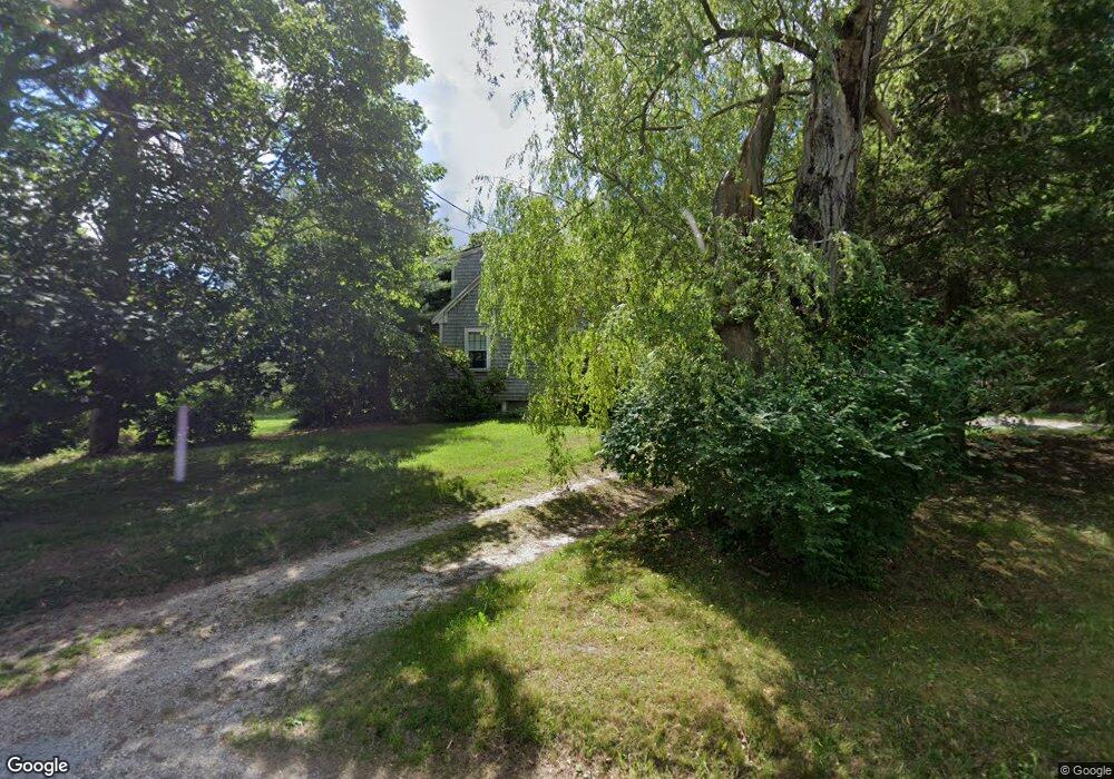
52 Howland Ln West Barnstable, MA 02668
West Barnstable NeighborhoodEstimated Value: $583,000 - $792,000
3
Beds
3
Baths
1,801
Sq Ft
$392/Sq Ft
Est. Value
About This Home
This home is located at 52 Howland Ln, West Barnstable, MA 02668 and is currently estimated at $705,487, approximately $391 per square foot. 52 Howland Ln is a home located in Barnstable County with nearby schools including West Barnstable Elementary School, Barnstable United Elementary School, and Barnstable Intermediate School.
Create a Home Valuation Report for This Property
The Home Valuation Report is an in-depth analysis detailing your home's value as well as a comparison with similar homes in the area
Home Values in the Area
Average Home Value in this Area
Tax History Compared to Growth
Tax History
| Year | Tax Paid | Tax Assessment Tax Assessment Total Assessment is a certain percentage of the fair market value that is determined by local assessors to be the total taxable value of land and additions on the property. | Land | Improvement |
|---|---|---|---|---|
| 2025 | $5,270 | $564,200 | $256,700 | $307,500 |
| 2024 | $4,657 | $542,800 | $256,700 | $286,100 |
| 2023 | $4,421 | $485,300 | $234,200 | $251,100 |
| 2022 | $4,116 | $370,500 | $163,500 | $207,000 |
| 2021 | $3,974 | $339,100 | $166,000 | $173,100 |
| 2020 | $4,032 | $332,700 | $173,500 | $159,200 |
| 2019 | $3,968 | $323,100 | $184,000 | $139,100 |
| 2018 | $4,107 | $331,500 | $214,500 | $117,000 |
| 2017 | $3,962 | $323,700 | $214,500 | $109,200 |
| 2016 | $3,884 | $323,900 | $214,700 | $109,200 |
| 2015 | $4,135 | $345,700 | $205,800 | $139,900 |
Source: Public Records
Map
Nearby Homes
- 665 Route 6a
- 3 Mulberry Cir
- 50 Wayside Ln
- 718 Cedar St
- 75 Old Toll Rd
- 510 Cedar St
- 515 Cedar St
- 6 Harpers Hollow
- 14 Village Dr
- 0 Captain Kidd Rd
- 46 Chase Rd
- 507 Massachusetts 6a Unit 9
- 2400 Meetinghouse Way
- 159 Great Hill Rd
- 203 N Shore Blvd Unit D
- 203 N Shore Blvd Unit D
- 420 Massachusetts 6a
- 282 Parker Rd
- 7 Highfield Dr
- 49 Atkins Rd