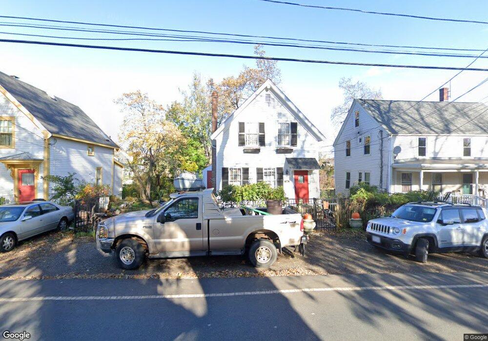
52 Langsford St Gloucester, MA 01930
Estimated Value: $539,820 - $724,000
2
Beds
1
Bath
804
Sq Ft
$788/Sq Ft
Est. Value
About This Home
This home is located at 52 Langsford St, Gloucester, MA 01930 and is currently estimated at $633,455, approximately $787 per square foot. 52 Langsford St is a home located in Essex County with nearby schools including Plum Cove School, Ralph B O'maley Middle School, and Gloucester High School.
Ownership History
Date
Name
Owned For
Owner Type
Purchase Details
Closed on
May 17, 1991
Sold by
Myers Robert W
Bought by
Hill Douglas J
Current Estimated Value
Home Financials for this Owner
Home Financials are based on the most recent Mortgage that was taken out on this home.
Original Mortgage
$138,550
Interest Rate
9.4%
Mortgage Type
Purchase Money Mortgage
Create a Home Valuation Report for This Property
The Home Valuation Report is an in-depth analysis detailing your home's value as well as a comparison with similar homes in the area
Home Values in the Area
Average Home Value in this Area
Purchase History
| Date | Buyer | Sale Price | Title Company |
|---|---|---|---|
| Hill Douglas J | $136,000 | -- |
Source: Public Records
Mortgage History
| Date | Status | Borrower | Loan Amount |
|---|---|---|---|
| Closed | Hill Douglas J | $138,550 | |
| Previous Owner | Hill Douglas J | $64,000 |
Source: Public Records
Tax History Compared to Growth
Tax History
| Year | Tax Paid | Tax Assessment Tax Assessment Total Assessment is a certain percentage of the fair market value that is determined by local assessors to be the total taxable value of land and additions on the property. | Land | Improvement |
|---|---|---|---|---|
| 2025 | $4,348 | $447,300 | $200,600 | $246,700 |
| 2024 | $4,260 | $437,800 | $191,100 | $246,700 |
| 2023 | $3,955 | $373,500 | $170,600 | $202,900 |
| 2022 | $3,872 | $330,100 | $145,000 | $185,100 |
| 2021 | $3,810 | $306,300 | $131,800 | $174,500 |
| 2020 | $3,700 | $300,100 | $131,800 | $168,300 |
| 2019 | $3,475 | $273,800 | $131,800 | $142,000 |
| 2018 | $3,336 | $258,000 | $131,800 | $126,200 |
| 2017 | $3,205 | $243,000 | $125,600 | $117,400 |
| 2016 | $3,055 | $224,500 | $126,000 | $98,500 |
| 2015 | $2,969 | $217,500 | $126,000 | $91,500 |
Source: Public Records
Map
Nearby Homes
- 26 Coggeshall Rd
- 43 High St Unit B
- 48 Rowley Shore
- 25 Stockholm Ave
- 13 Phillips Ave
- 165 Granite St
- 2 Boulder Top
- 18 Granite St
- 13 Rowe Point
- 15 Granite St
- 5 Smith St Unit R
- 20 Railroad Ave
- 672 Washington St
- 2 Mount Pleasant St Unit 3
- 5 Marshall Ln
- 4 Norwood Ave
- 27 Hodgkins Rd
- 57 Mt Pleasant St Unit 2B
- 34R Summer St
- 226 Atlantic St
- 54 Langsford St
- 50 Langsford St
- 3 Norseman Ave
- 2 Nikolane Way
- 4 Nikolane Way
- 2 Bayfield Rd
- 5A Norseman Ave
- 5 Norseman Ave
- 5A Norseman Ave Unit 1
- 53 Langsford St
- 48 Langsford St
- 51 Langsford St
- 3 Nikolane Way
- 1 Nikolane Way
- 5 Nikolane Way
- 7 Norseman Ave
- 4 Norseman Ave
- 4 Bayfield Rd
- 47 Langsford St
- 46 Langsford St