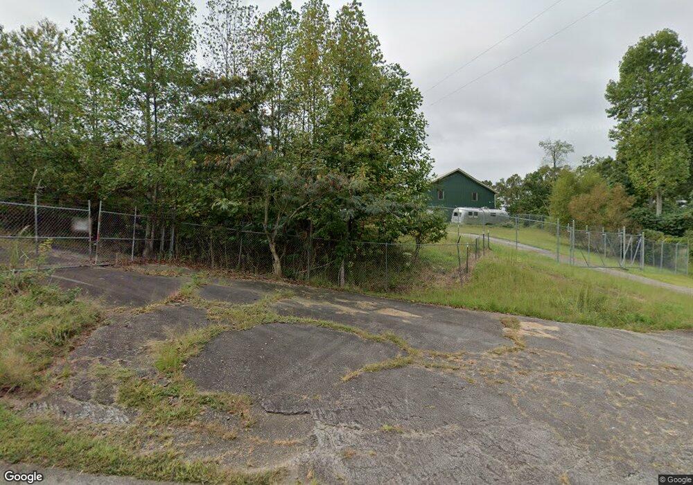
52 Lewis Grindle Rd Dahlonega, GA 30533
Estimated Value: $277,879
--
Bed
--
Bath
2,400
Sq Ft
$116/Sq Ft
Est. Value
About This Home
This home is located at 52 Lewis Grindle Rd, Dahlonega, GA 30533 and is currently estimated at $277,879, approximately $115 per square foot. 52 Lewis Grindle Rd is a home located in Lumpkin County with nearby schools including Clay County Middle School and Lumpkin County High School.
Ownership History
Date
Name
Owned For
Owner Type
Purchase Details
Closed on
Oct 14, 2019
Sold by
Spotty Merle Llc
Bought by
Stephens Terry L and Stephens Wanda G
Current Estimated Value
Purchase Details
Closed on
Dec 27, 2010
Sold by
Fortner Laurel E
Bought by
Essigman John Llc
Purchase Details
Closed on
Mar 17, 2005
Sold by
Quackenbush Kenneth
Bought by
Bickley Allan
Create a Home Valuation Report for This Property
The Home Valuation Report is an in-depth analysis detailing your home's value as well as a comparison with similar homes in the area
Home Values in the Area
Average Home Value in this Area
Purchase History
| Date | Buyer | Sale Price | Title Company |
|---|---|---|---|
| Stephens Terry L | $164,999 | -- | |
| Essigman John Llc | $50,000 | -- | |
| Bickley Allan | $25,000 | -- |
Source: Public Records
Tax History Compared to Growth
Tax History
| Year | Tax Paid | Tax Assessment Tax Assessment Total Assessment is a certain percentage of the fair market value that is determined by local assessors to be the total taxable value of land and additions on the property. | Land | Improvement |
|---|---|---|---|---|
| 2024 | $1,479 | $66,601 | $20,000 | $46,601 |
| 2023 | $1,567 | $66,601 | $20,000 | $46,601 |
| 2022 | $1,671 | $67,504 | $20,000 | $47,504 |
| 2021 | $1,591 | $62,150 | $20,000 | $42,150 |
| 2020 | $1,640 | $62,150 | $20,000 | $42,150 |
| 2019 | $1,195 | $44,879 | $20,000 | $24,879 |
| 2018 | $1,273 | $44,879 | $20,000 | $24,879 |
| 2017 | $689 | $23,825 | $6,612 | $17,213 |
| 2016 | $642 | $23,825 | $6,612 | $17,213 |
| 2013 | -- | $25,090 | $6,612 | $18,478 |
Source: Public Records
Map
Nearby Homes
- 45 Chestatee River Ridge
- 64 Highview Ln
- 1063 Grindle Bridge Rd
- 16 Welch Cir
- 380 Copper Mill Rd
- 31 Valhalla Dr
- 0 Waterfall Dr Unit 9 10472076
- 86.99 Acres Mincie Mountain
- 202 Indian Trail
- 0 Valhalla Dr Unit 10640791
- 0 Arborwood Dr Unit 10645890
- 651 Hester Rd
- 83 Austin Ct
- 349 Hester Rd
- 313 Hester Rd
- 128 Young Deer Dr
- 0 Roseberry Ln
- 55 Santa Pera Dr
- 3395 Asbury Mill Rd
- LOT 1 Lewis Grindle
- 17+-ac Lewis Grindle Rd
- 483 Lewis Grindle Rd
- 535 Lewis Grindle Rd
- 431 Lewis Grindle Rd
- 583 Lewis Grindle Rd
- 126 Lunceford Cir
- 615 Lewis Grindle Rd Unit 65
- 615 Lewis Grindle Rd
- 391 Lewis Grindle Rd
- 128 Lunceford Cir
- 308 Hollybrook Rd
- 385 Lunceford Cir
- 292 Hollybrook Rd
- 65 Carder Springs
- 75 Carder Springs
- 343 Hollybrook Rd
- 797 Lewis Grindle Rd
- 283 Lewis Grindle Rd
- 0 Hollybrook Rd