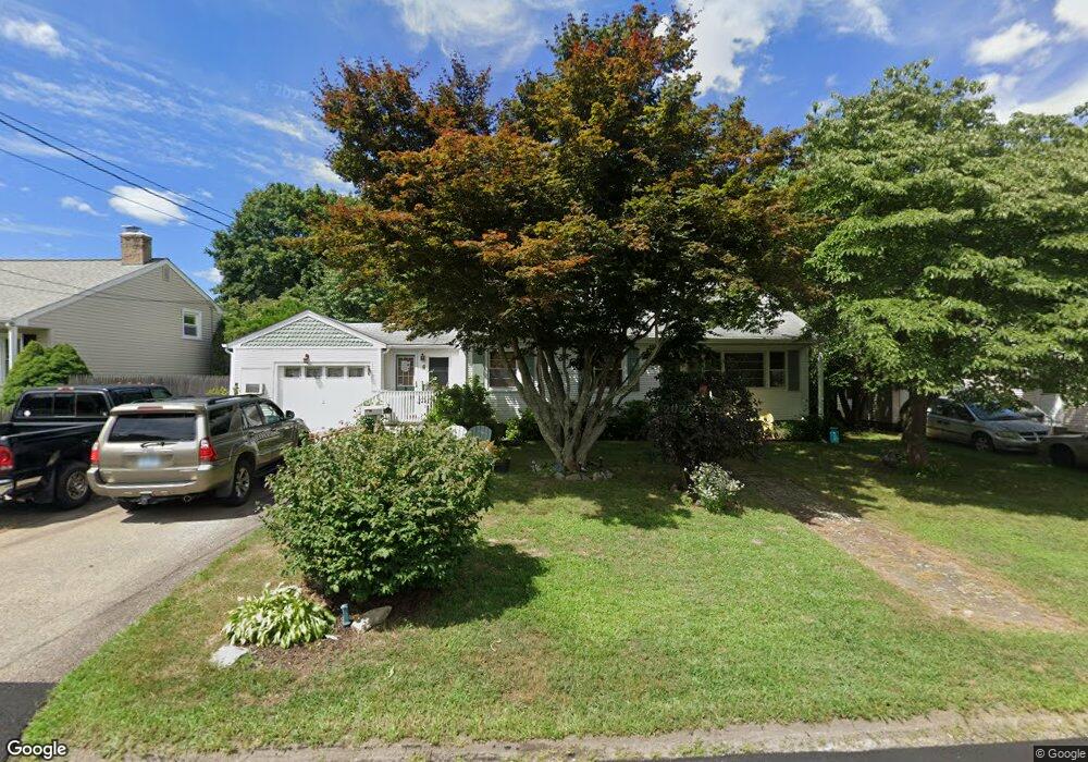
52 Madeline Dr Riverside, RI 02915
Kent Heights NeighborhoodEstimated Value: $453,000 - $466,000
3
Beds
3
Baths
1,595
Sq Ft
$289/Sq Ft
Est. Value
About This Home
This home is located at 52 Madeline Dr, Riverside, RI 02915 and is currently estimated at $461,044, approximately $289 per square foot. 52 Madeline Dr is a home located in Providence County with nearby schools including East Providence High School, The Gordon School, and St Mary Academy-Bay View.
Ownership History
Date
Name
Owned For
Owner Type
Purchase Details
Closed on
May 29, 1990
Sold by
Starr Marjorie T
Bought by
Mccarthy James M
Current Estimated Value
Home Financials for this Owner
Home Financials are based on the most recent Mortgage that was taken out on this home.
Original Mortgage
$108,211
Interest Rate
10.13%
Mortgage Type
Purchase Money Mortgage
Create a Home Valuation Report for This Property
The Home Valuation Report is an in-depth analysis detailing your home's value as well as a comparison with similar homes in the area
Home Values in the Area
Average Home Value in this Area
Purchase History
| Date | Buyer | Sale Price | Title Company |
|---|---|---|---|
| Mccarthy James M | $119,000 | -- | |
| Mccarthy James M | $119,000 | -- |
Source: Public Records
Mortgage History
| Date | Status | Borrower | Loan Amount |
|---|---|---|---|
| Open | Mccarthy James M | $127,000 | |
| Closed | Mccarthy James M | $125,000 | |
| Closed | Mccarthy James M | $108,211 |
Source: Public Records
Tax History Compared to Growth
Tax History
| Year | Tax Paid | Tax Assessment Tax Assessment Total Assessment is a certain percentage of the fair market value that is determined by local assessors to be the total taxable value of land and additions on the property. | Land | Improvement |
|---|---|---|---|---|
| 2025 | $5,292 | $404,900 | $138,900 | $266,000 |
| 2024 | $5,290 | $345,100 | $115,900 | $229,200 |
| 2023 | $5,094 | $345,100 | $115,900 | $229,200 |
| 2022 | $4,671 | $213,700 | $59,100 | $154,600 |
| 2021 | $4,595 | $213,700 | $58,100 | $155,600 |
| 2020 | $4,400 | $213,700 | $58,100 | $155,600 |
| 2019 | $4,278 | $213,700 | $58,100 | $155,600 |
| 2018 | $4,503 | $196,800 | $59,400 | $137,400 |
| 2017 | $4,402 | $196,800 | $59,400 | $137,400 |
| 2016 | $4,381 | $196,800 | $59,400 | $137,400 |
| 2015 | $4,595 | $200,200 | $52,400 | $147,800 |
| 2014 | $4,595 | $200,200 | $52,400 | $147,800 |
Source: Public Records
Map
Nearby Homes
- 53 Wampanoag Trail
- 14 Waterview Ave Unit 16
- 210 Robinson St
- 399 Brown St
- 180 Grassmere Ave
- 50 Kettle Point Ave Unit 50
- 87 Vincent Ave
- 122 Rice Ave
- 6 Fuller Ave
- 74 Brookhaven Dr
- 25 Bullocks Point Ave Unit 5C
- 43 Bullocks Point Ave Unit 4A
- 26 Callender Ave
- 69 Hazelwood Ave
- 151 Willett Ave Unit 2
- 151 Willett Ave Unit 5
- 191 S Spruce St
- 132 S Rose St
- 25 Arnold St
- 75 Belmont Ave