52 Maple Ridge Rd Holderness, NH 03245
Estimated Value: $583,365 - $1,734,000
3
Beds
3
Baths
2,338
Sq Ft
$559/Sq Ft
Est. Value
About This Home
This home is located at 52 Maple Ridge Rd, Holderness, NH 03245 and is currently estimated at $1,307,788, approximately $559 per square foot. 52 Maple Ridge Rd is a home with nearby schools including Holderness Central School and Plymouth Regional High School.
Ownership History
Date
Name
Owned For
Owner Type
Purchase Details
Closed on
Dec 5, 2018
Sold by
Dussault Joseph P and Dussault Jacalyn K
Bought by
Joseph & J Dussault Ret
Current Estimated Value
Purchase Details
Closed on
Sep 4, 2018
Sold by
Dusseault Joseph P
Bought by
Dussault Joseph P and Dussault Jacalyn K
Create a Home Valuation Report for This Property
The Home Valuation Report is an in-depth analysis detailing your home's value as well as a comparison with similar homes in the area
Home Values in the Area
Average Home Value in this Area
Purchase History
| Date | Buyer | Sale Price | Title Company |
|---|---|---|---|
| Joseph & J Dussault Ret | -- | -- | |
| Dussault Joseph P | -- | -- |
Source: Public Records
Mortgage History
| Date | Status | Borrower | Loan Amount |
|---|---|---|---|
| Previous Owner | Dussault Joseph P | $318,000 | |
| Previous Owner | Dussault Joseph P | $148,000 |
Source: Public Records
Tax History Compared to Growth
Tax History
| Year | Tax Paid | Tax Assessment Tax Assessment Total Assessment is a certain percentage of the fair market value that is determined by local assessors to be the total taxable value of land and additions on the property. | Land | Improvement |
|---|---|---|---|---|
| 2024 | $4,329 | $500,500 | $121,200 | $379,300 |
| 2023 | $4,194 | $488,300 | $121,200 | $367,100 |
| 2022 | $4,517 | $402,600 | $107,300 | $295,300 |
| 2021 | $4,553 | $402,600 | $107,300 | $295,300 |
| 2020 | $4,314 | $317,700 | $86,200 | $231,500 |
| 2019 | $4,184 | $317,700 | $86,200 | $231,500 |
| 2018 | $498 | $352,700 | $121,200 | $231,500 |
| 2017 | $401 | $382,110 | $161,410 | $220,700 |
| 2016 | $5,418 | $382,110 | $161,410 | $220,700 |
| 2015 | $5,418 | $382,110 | $161,410 | $220,700 |
| 2014 | $5,508 | $383,010 | $161,410 | $221,600 |
| 2011 | $5,288 | $401,810 | $161,410 | $240,400 |
Source: Public Records
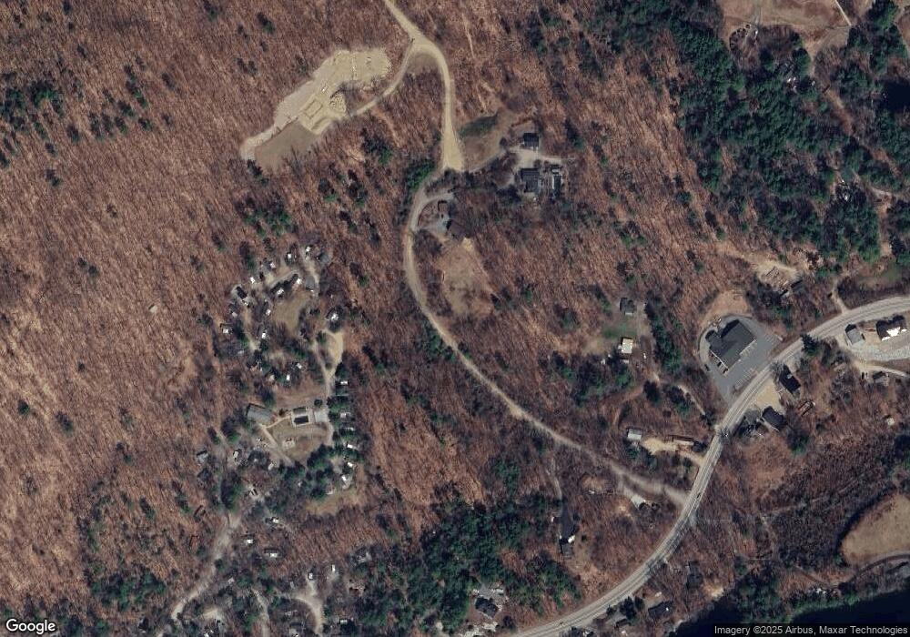
Map
Nearby Homes
- 73 Maple Ridge Rd
- 206 High Country Way Unit (aka Unit 100)
- 265 High Country Way
- 7 Hollows Rd
- 47 Overlook Rd
- 14 Overlook Rd
- 37 Old Ledge Rd
- 38 Range Rd
- 88 Perch Pond Rd
- 10 Rocky Top Ln
- 283 River St
- 6 Buttonwood Rd
- 347 New Hampshire Route 175
- 384 New Hampshire 113
- 12 Peaked Hill Rd
- 00 Hicks Hill Rd
- 28 Potato Island
- 20 Circle Dr Unit 41
- 388 Perch Pond Rd
- 254 Seven Pines Rd
- 70 Maple Ridge Rd
- 240 High Country Way Unit (aka Unit 112)
- 212 High Country Way Unit 115
- 212 High Country Way
- 239 High Country Way
- 000 Maple Ridge Rd
- 71 Maple Ridge Rd
- 00 Maple Ridge Rd
- 0 Maple Ridge Rd
- 249 High Country Way Unit 117
- 930 Us Route 3
- 265 High Country Way Unit 116
- 256 High Country Way Unit 108
- 272 High Country Way Unit (aka Unit 103)
- 186 High Country Way Unit 95
- 16 Upper Meadows Rd
- 932 Us Route 3
- 180 High Country Way Unit 93
- 180 High Country Way
- 178 High Country Way Unit 92