52 Maquoit Dr Freeport, ME 04032
Estimated Value: $1,104,000 - $1,427,000
2
Beds
2
Baths
1,872
Sq Ft
$664/Sq Ft
Est. Value
About This Home
This home is located at 52 Maquoit Dr, Freeport, ME 04032 and is currently estimated at $1,242,210, approximately $663 per square foot. 52 Maquoit Dr is a home located in Cumberland County with nearby schools including Morse Street School, Mast Landing School, and Freeport Middle School.
Create a Home Valuation Report for This Property
The Home Valuation Report is an in-depth analysis detailing your home's value as well as a comparison with similar homes in the area
Home Values in the Area
Average Home Value in this Area
Tax History
| Year | Tax Paid | Tax Assessment Tax Assessment Total Assessment is a certain percentage of the fair market value that is determined by local assessors to be the total taxable value of land and additions on the property. | Land | Improvement |
|---|---|---|---|---|
| 2025 | $13,396 | $967,200 | $667,600 | $299,600 |
| 2024 | $12,489 | $935,500 | $635,900 | $299,600 |
| 2023 | $11,523 | $838,000 | $578,100 | $259,900 |
| 2022 | $10,618 | $777,900 | $516,200 | $261,700 |
| 2021 | $9,336 | $699,300 | $437,600 | $261,700 |
| 2020 | $9,040 | $645,700 | $405,200 | $240,500 |
| 2019 | $8,699 | $608,300 | $382,200 | $226,100 |
| 2018 | $6,223 | $413,500 | $329,400 | $84,100 |
| 2017 | $4,573 | $305,900 | $305,300 | $600 |
| 2016 | $4,863 | $307,800 | $277,300 | $30,500 |
| 2015 | $4,768 | $283,800 | $256,900 | $26,900 |
| 2014 | $4,457 | $282,100 | $256,900 | $25,200 |
| 2013 | $4,056 | $255,900 | $237,800 | $18,100 |
Source: Public Records
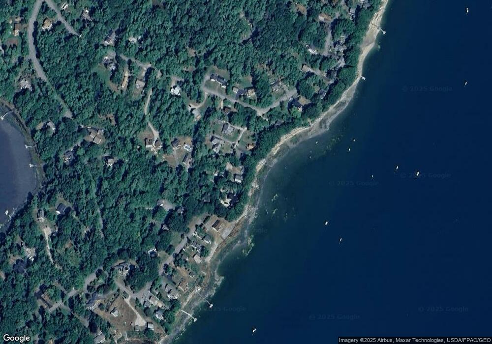
Map
Nearby Homes
- 70 Maquoit Dr
- 71 Merganser Way
- 10 Lower Flying Point Rd
- 52 Birch Point Rd
- 83 Central Ave
- 29 S Freeport Rd
- 46 Blackstone Club Rd
- 7 Shearwater Way
- 26 Harvest Ridge Rd Unit 24
- 20 Harvest Ridge Rd Unit 23
- 853 Mere Point Rd
- Map 80 Lot 18-0 White Island
- 11 Orchard Hill Rd
- 15 Linwood Rd Unit 15
- 15 Tinkers Way
- 39 Hunter Rd
- 10 Durham Rd
- 1 Mallard Pond Rd
- Lot 2B Allen Point Rd
- 31 Goose Ledge Rd
- 54 Maquoit Dr
- 48 Maquoit Dr
- 46 Maquoit Dr
- 49 Maquoit Dr
- 51 Maquoit Dr
- 60 Maquoit Dr
- 41 Maquoit Dr
- 55 Maquoit Dr
- 62 Maquoit Dr
- 42 Maquoit Dr
- 39 Maquoit Dr
- 52 Byram Ave
- 16 Retriever Ln
- 8 Retriever Ln
- 34 Island View Ln
- 44 Byram Ave Unit 44B
- 44 Byram Ave
- 51 Byram Ave
- 72 Maquoit Dr
- 307 Lower Flying Point Rd
Your Personal Tour Guide
Ask me questions while you tour the home.