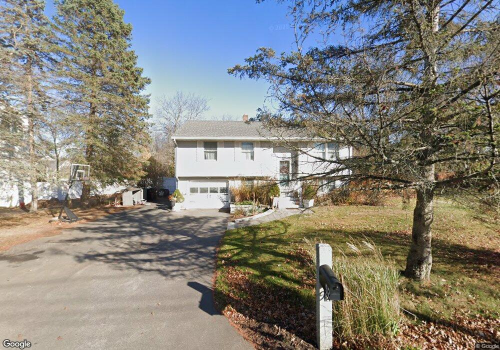
52 Mudnock Rd Salisbury, MA 01952
Estimated Value: $614,000 - $704,000
3
Beds
1
Bath
1,612
Sq Ft
$408/Sq Ft
Est. Value
About This Home
This home is located at 52 Mudnock Rd, Salisbury, MA 01952 and is currently estimated at $657,348, approximately $407 per square foot. 52 Mudnock Rd is a home located in Essex County with nearby schools including Triton Regional High School.
Ownership History
Date
Name
Owned For
Owner Type
Purchase Details
Closed on
Jul 31, 2008
Sold by
52 Mudnock Road Rt and Webber Stephen L
Bought by
Demand Frank T and Demand Francis T
Current Estimated Value
Home Financials for this Owner
Home Financials are based on the most recent Mortgage that was taken out on this home.
Original Mortgage
$283,185
Interest Rate
6.47%
Mortgage Type
Purchase Money Mortgage
Create a Home Valuation Report for This Property
The Home Valuation Report is an in-depth analysis detailing your home's value as well as a comparison with similar homes in the area
Home Values in the Area
Average Home Value in this Area
Purchase History
| Date | Buyer | Sale Price | Title Company |
|---|---|---|---|
| Demand Frank T | $299,000 | -- |
Source: Public Records
Mortgage History
| Date | Status | Borrower | Loan Amount |
|---|---|---|---|
| Open | Demand Frank T | $270,000 | |
| Closed | Demand Frank T | $282,373 | |
| Closed | Demand Frank T | $283,185 |
Source: Public Records
Tax History
| Year | Tax Paid | Tax Assessment Tax Assessment Total Assessment is a certain percentage of the fair market value that is determined by local assessors to be the total taxable value of land and additions on the property. | Land | Improvement |
|---|---|---|---|---|
| 2025 | $5,423 | $538,000 | $209,100 | $328,900 |
| 2024 | $5,116 | $489,600 | $198,200 | $291,400 |
| 2023 | $4,180 | $454,400 | $198,200 | $256,200 |
| 2022 | $4,068 | $420,800 | $176,400 | $244,400 |
| 2021 | $4,092 | $395,200 | $176,400 | $218,800 |
| 2020 | $4,239 | $369,900 | $185,200 | $184,700 |
| 2019 | $3,997 | $347,000 | $176,700 | $170,300 |
| 2018 | $3,829 | $334,600 | $165,900 | $168,700 |
| 2017 | $3,811 | $326,700 | $158,200 | $168,500 |
| 2016 | $3,488 | $298,900 | $137,500 | $161,400 |
| 2015 | $3,363 | $286,200 | $132,900 | $153,300 |
Source: Public Records
Map
Nearby Homes
- 2 True Rd
- 9 Meadowview Ln Unit A
- 14 Meadowview Ln Unit B
- 16 Meadowview Ln Unit B
- 55 Lafayette Rd
- 48 Beach Rd Unit C
- 3 Lighthouse Cir Unit A
- 86 Ferry Rd
- 14 Partridge Ln Unit C
- 14 Seabrook Rd
- 157 Bridge Rd
- 191 Elm St
- 57 Baker Rd
- 42 Kendell Ln
- 1 Jefferson St
- 297 Merrimac St
- 175 Bridge Rd
- 154 Lafayette Rd
- 1 Oakland St Unit 2
- 34 Dock Ln
- 54 Mudnock Rd
- 50 Mudnock Rd
- 56 Mudnock Rd
- 53 Mudnock Rd
- 55 Mudnock Rd
- 51 Mudnock Rd
- 57 Mudnock Rd
- 48 Mudnock Rd
- 58 Mudnock Rd
- 2 Ferry Lots Ln
- 2 Ferry Rd Unit B
- 2 Ferry Rd Unit B (Left)
- 2 Ferry Rd Unit A (Right)
- 2 Ferry Rd
- 59 Mudnock Rd
- 10 Ferry Lots Ln
- 61 Mudnock Rd
- 4 Ferry Lots Ln
- 1 Ferry Lots Ln
- 38 Mudnock Rd
Your Personal Tour Guide
Ask me questions while you tour the home.