52 Pawtucket Blvd Unit 25 Tyngsboro, MA 01879
Estimated Value: $360,191 - $408,000
2
Beds
2
Baths
1,080
Sq Ft
$350/Sq Ft
Est. Value
About This Home
This home is located at 52 Pawtucket Blvd Unit 25, Tyngsboro, MA 01879 and is currently estimated at $377,548, approximately $349 per square foot. 52 Pawtucket Blvd Unit 25 is a home located in Middlesex County with nearby schools including Tyngsborough Elementary School, Tyngsborough Middle School, and Innovation Academy Charter School.
Ownership History
Date
Name
Owned For
Owner Type
Purchase Details
Closed on
Apr 21, 2021
Sold by
Anderson Madeline
Bought by
Kellett Denise
Current Estimated Value
Purchase Details
Closed on
Oct 24, 1994
Sold by
Moss Bonnie
Bought by
Macphee Madeline
Home Financials for this Owner
Home Financials are based on the most recent Mortgage that was taken out on this home.
Original Mortgage
$49,000
Interest Rate
8.49%
Mortgage Type
Purchase Money Mortgage
Create a Home Valuation Report for This Property
The Home Valuation Report is an in-depth analysis detailing your home's value as well as a comparison with similar homes in the area
Home Values in the Area
Average Home Value in this Area
Purchase History
| Date | Buyer | Sale Price | Title Company |
|---|---|---|---|
| Kellett Denise | -- | None Available | |
| Macphee Madeline | $69,900 | -- |
Source: Public Records
Mortgage History
| Date | Status | Borrower | Loan Amount |
|---|---|---|---|
| Previous Owner | Macphee Madeline | $49,000 |
Source: Public Records
Tax History Compared to Growth
Tax History
| Year | Tax Paid | Tax Assessment Tax Assessment Total Assessment is a certain percentage of the fair market value that is determined by local assessors to be the total taxable value of land and additions on the property. | Land | Improvement |
|---|---|---|---|---|
| 2025 | $39 | $316,400 | $0 | $316,400 |
| 2024 | $3,824 | $300,600 | $0 | $300,600 |
| 2023 | $3,958 | $279,900 | $0 | $279,900 |
| 2022 | $3,574 | $239,200 | $0 | $239,200 |
| 2021 | $3,118 | $194,000 | $0 | $194,000 |
| 2020 | $3,101 | $190,800 | $0 | $190,800 |
| 2019 | $3,127 | $184,700 | $0 | $184,700 |
| 2018 | $2,762 | $161,400 | $0 | $161,400 |
| 2017 | $2,601 | $151,600 | $0 | $151,600 |
| 2016 | $2,469 | $140,600 | $0 | $140,600 |
| 2015 | $2,385 | $140,600 | $0 | $140,600 |
Source: Public Records
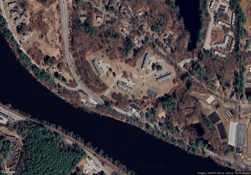
Map
Nearby Homes
- 46 Pawtucket Blvd Unit 37
- 5 Stableford Ct Unit 11
- 14 Centercrest Dr Unit 14
- 28 Juniper Ln Unit 65
- 11 Juniper Ln Unit 14
- 22 Juniper Ln Unit 66
- 17 Juniper Ln Unit 17
- 24 Old Tyng Rd
- 20 Merrimac Way Unit 20E
- 56 Frost Rd
- 123 Sherburne Ave
- 75 Frost Rd
- 10 Dickens Ln
- 51 Farwell Rd
- 0 Dunstable Rd
- 10 Worden Rd
- 454 Dunstable Rd
- 3 Joyce Dr
- 15 Norris Rd
- 1 Wintergreen Dr
- 52 Pawtucket Blvd Unit 30
- 52 Pawtucket Blvd Unit 29
- 52 Pawtucket Blvd Unit 28
- 52 Pawtucket Blvd Unit 27
- 52 Pawtucket Blvd Unit 24
- 52 Pawtucket Blvd Unit 23
- 52 Pawtucket Blvd Unit 22
- 0 Makos Street Aka 7a Makos Unit 70599896
- 33 Sherburne Ave Unit 9
- 33 Sherburne Ave Unit 8
- 33 Sherburne Ave Unit 7
- 33 Sherburne Ave Unit 6
- 33 Sherburne Ave Unit 5
- 33 Sherburne Ave Unit 4
- 33 Sherburne Ave Unit 3
- 33 Sherburne Ave Unit 2
- 33 Sherburne Ave Unit 10
- 33 Sherburne Ave Unit 1
- 33 Sherburne Ave Unit 3 33
- 33 Sherburne Ave Unit 4. 33