52 Pilotfish Rd Broken Bow, OK 74728
Estimated Value: $420,042 - $520,000
2
Beds
1
Bath
1,116
Sq Ft
$428/Sq Ft
Est. Value
About This Home
This home is located at 52 Pilotfish Rd, Broken Bow, OK 74728 and is currently estimated at $477,261, approximately $427 per square foot. 52 Pilotfish Rd is a home with nearby schools including Battiest Elementary School and Battiest High School.
Ownership History
Date
Name
Owned For
Owner Type
Purchase Details
Closed on
Apr 30, 2025
Sold by
Gentry Charlotte Denise and Gentry Allan
Bought by
Zaffiro Llc
Current Estimated Value
Purchase Details
Closed on
Aug 6, 2015
Sold by
Mowery Jo Ann and Dollarhide Bobbie Sue
Bought by
Chapman Robert W and Chapman Hannah E
Create a Home Valuation Report for This Property
The Home Valuation Report is an in-depth analysis detailing your home's value as well as a comparison with similar homes in the area
Home Values in the Area
Average Home Value in this Area
Purchase History
| Date | Buyer | Sale Price | Title Company |
|---|---|---|---|
| Zaffiro Llc | $470,000 | None Listed On Document | |
| Chapman Robert W | -- | None Available |
Source: Public Records
Tax History
| Year | Tax Paid | Tax Assessment Tax Assessment Total Assessment is a certain percentage of the fair market value that is determined by local assessors to be the total taxable value of land and additions on the property. | Land | Improvement |
|---|---|---|---|---|
| 2025 | $2,496 | $31,381 | $7,390 | $23,991 |
| 2024 | $2,377 | $29,887 | $6,600 | $23,287 |
| 2023 | $2,627 | $31,644 | $6,600 | $25,044 |
| 2022 | $2,553 | $30,740 | $6,412 | $24,328 |
| 2021 | $30 | $355 | $105 | $250 |
| 2020 | $28 | $338 | $88 | $250 |
| 2019 | $28 | $322 | $72 | $250 |
| 2018 | $27 | $306 | $56 | $250 |
| 2017 | $24 | $292 | $42 | $250 |
| 2016 | $23 | $278 | $28 | $250 |
| 2015 | $50 | $594 | $220 | $374 |
| 2014 | $43 | $566 | $220 | $346 |
Source: Public Records
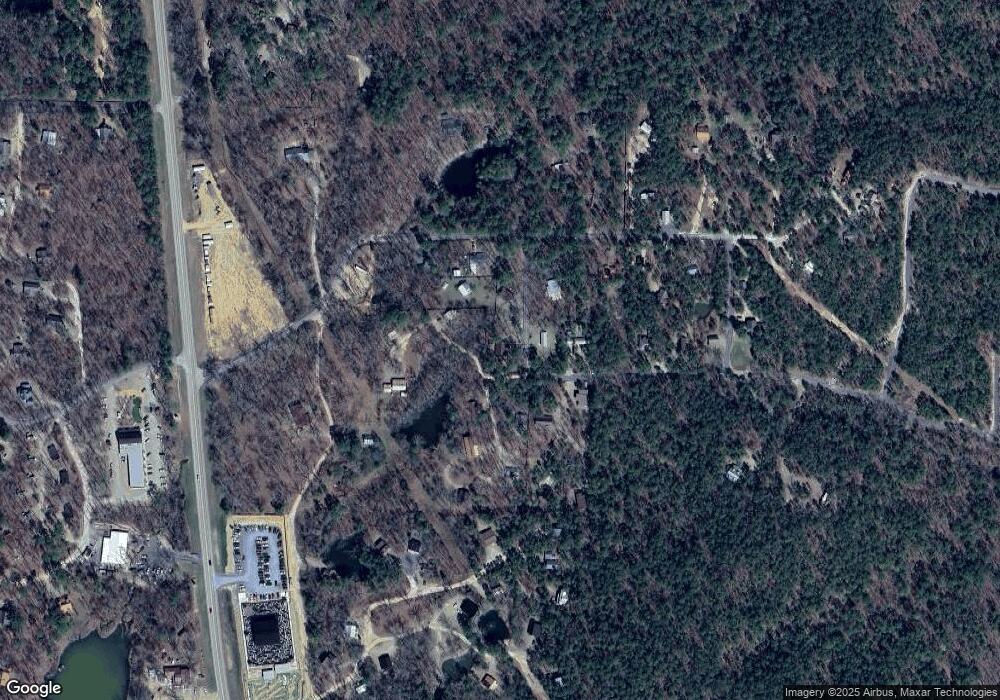
Map
Nearby Homes
- 0 Pilotfish Rd
- 108 Pilotfish Rd
- 145 Guppy Ln
- 26 Kissingfish Ct
- 396 Choate Rd
- 138 Guppy Ln
- 14 Floosey Creek Ln
- 0 Stillhouse Rd
- 160 Stillhouse Rd
- 226 Stillhouse Rd
- 68 E G Ln
- 50 Canvasback Trail
- 30 Canvasback Trail
- 779 N Lukfata Trail Rd
- 259 N 259 Hwy
- 67 Cedar Dale Ln
- 22 Ibis Pond Trail
- 167 Penner Rd
- 209 Timber Creek Trail
- 242 Lucian Sorrel Rd
- 114 Pilotfish Rd
- 69 Pilotfish Rd
- 69 Pilotfish
- 112 Pilotfish Rd
- 193 Redfin Ln
- 69 Pilot Fish Rd
- 101 Redfin Ln
- 108 Pilot Fish Rd
- 119 Pilotfish Rd
- 208 Choate Rd
- 0000 Pilot Fish
- 208 Redfin Ln
- 33 N Lukfata Trail
- 294 Choate Rd
- 392 Choate Rd
- 394 Choate Rd
- 336 Choate Rd
- 0 Choate Rd
- 249 Redfin Lane Cabin 4
- 88 Redfin Ln
Your Personal Tour Guide
Ask me questions while you tour the home.