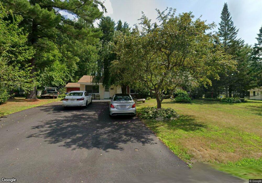
52 Ruthellen Rd Chelmsford, MA 01824
Estimated Value: $724,974 - $804,000
5
Beds
2
Baths
2,526
Sq Ft
$302/Sq Ft
Est. Value
About This Home
This home is located at 52 Ruthellen Rd, Chelmsford, MA 01824 and is currently estimated at $763,494, approximately $302 per square foot. 52 Ruthellen Rd is a home located in Middlesex County with nearby schools including South Row Elementary School, McCarthy Middle School, and Chelmsford High School.
Ownership History
Date
Name
Owned For
Owner Type
Purchase Details
Closed on
Jul 10, 2012
Sold by
Mackinnon Ruth
Bought by
Pin-Riebe Saly
Current Estimated Value
Home Financials for this Owner
Home Financials are based on the most recent Mortgage that was taken out on this home.
Original Mortgage
$237,650
Outstanding Balance
$160,763
Interest Rate
3.78%
Mortgage Type
New Conventional
Estimated Equity
$602,731
Purchase Details
Closed on
Mar 10, 1999
Sold by
Abreu Leonard and Abreu Lorraine A
Bought by
Mackinnon Ruth
Create a Home Valuation Report for This Property
The Home Valuation Report is an in-depth analysis detailing your home's value as well as a comparison with similar homes in the area
Purchase History
| Date | Buyer | Sale Price | Title Company |
|---|---|---|---|
| Pin-Riebe Saly | $245,000 | -- | |
| Pin-Riebe Saly | $245,000 | -- | |
| Mackinnon Ruth | $220,000 | -- | |
| Mackinnon Ruth I | $220,000 | -- |
Source: Public Records
Mortgage History
| Date | Status | Borrower | Loan Amount |
|---|---|---|---|
| Open | Pin-Riebe Saly | $237,650 | |
| Closed | Mackinnon Ruth I | $237,650 | |
| Previous Owner | Mackinnon Ruth I | $205,000 |
Source: Public Records
Tax History
| Year | Tax Paid | Tax Assessment Tax Assessment Total Assessment is a certain percentage of the fair market value that is determined by local assessors to be the total taxable value of land and additions on the property. | Land | Improvement |
|---|---|---|---|---|
| 2025 | $6,732 | $484,300 | $342,400 | $141,900 |
| 2024 | $6,685 | $490,800 | $342,400 | $148,400 |
| 2023 | $6,968 | $484,900 | $368,100 | $116,800 |
| 2022 | $6,481 | $411,000 | $312,900 | $98,100 |
| 2021 | $6,143 | $390,300 | $287,100 | $103,200 |
| 2020 | $6,124 | $372,300 | $252,000 | $120,300 |
| 2019 | $5,834 | $356,800 | $249,500 | $107,300 |
| 2018 | $5,965 | $332,100 | $224,800 | $107,300 |
| 2017 | $5,691 | $317,600 | $210,400 | $107,200 |
| 2016 | $5,935 | $329,200 | $200,800 | $128,400 |
| 2015 | $5,778 | $309,000 | $182,400 | $126,600 |
| 2014 | $5,559 | $292,900 | $172,000 | $120,900 |
Source: Public Records
Map
Nearby Homes
- 25 Porter Rd
- 1 Rosemary Ln
- 20 Donna Rd
- 18 Brian Rd
- 15 R Warren Ave Unit 15R
- 175 Rangeway Rd
- 218 Rangeway Rd Unit 292
- 9 Acton Rd Unit 6
- 9 Acton Rd Unit 8
- 15 San Mateo Dr
- 41 Boston Rd Unit 485
- 41 Boston Rd Unit 464
- 4 Subway Ave
- 26 Sprague Ave
- 250 Chelmsford St
- 134 Dalton Rd
- 69 Byam Rd
- 12 Woodlawn Ave
- 400 Rutland St
- 22 Mcrayne Hill Rd
Your Personal Tour Guide
Ask me questions while you tour the home.