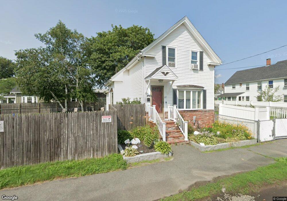
52 S Central St Unit 54 Haverhill, MA 01835
Central Bradford NeighborhoodEstimated Value: $450,000 - $520,000
4
Beds
2
Baths
2,794
Sq Ft
$173/Sq Ft
Est. Value
About This Home
This home is located at 52 S Central St Unit 54, Haverhill, MA 01835 and is currently estimated at $482,315, approximately $172 per square foot. 52 S Central St Unit 54 is a home located in Essex County with nearby schools including Greenleaf Academy, Bradford Elementary School, and Haverhill High School.
Ownership History
Date
Name
Owned For
Owner Type
Purchase Details
Closed on
Jul 3, 2007
Sold by
Munroe Marie and Munroe Thomas S
Bought by
Ashley Debra and Ashley Bruce
Current Estimated Value
Home Financials for this Owner
Home Financials are based on the most recent Mortgage that was taken out on this home.
Original Mortgage
$255,983
Interest Rate
6.24%
Mortgage Type
Purchase Money Mortgage
Purchase Details
Closed on
Apr 30, 1992
Sold by
Munroe George and Munroe Cecile
Bought by
Munroe Thomas S
Create a Home Valuation Report for This Property
The Home Valuation Report is an in-depth analysis detailing your home's value as well as a comparison with similar homes in the area
Home Values in the Area
Average Home Value in this Area
Purchase History
| Date | Buyer | Sale Price | Title Company |
|---|---|---|---|
| Ashley Debra | $260,000 | -- | |
| Munroe Thomas S | $112,500 | -- |
Source: Public Records
Mortgage History
| Date | Status | Borrower | Loan Amount |
|---|---|---|---|
| Closed | Munroe Thomas S | $255,983 | |
| Closed | Munroe Thomas S | $255,983 | |
| Previous Owner | Munroe Thomas S | $29,300 |
Source: Public Records
Tax History Compared to Growth
Tax History
| Year | Tax Paid | Tax Assessment Tax Assessment Total Assessment is a certain percentage of the fair market value that is determined by local assessors to be the total taxable value of land and additions on the property. | Land | Improvement |
|---|---|---|---|---|
| 2025 | $4,389 | $409,800 | $170,400 | $239,400 |
| 2024 | $4,094 | $384,800 | $170,400 | $214,400 |
| 2023 | $4,183 | $375,200 | $170,400 | $204,800 |
| 2022 | $4,021 | $316,100 | $154,800 | $161,300 |
| 2021 | $3,779 | $281,200 | $140,700 | $140,500 |
| 2020 | $3,724 | $273,800 | $136,000 | $137,800 |
| 2019 | $3,667 | $262,900 | $125,100 | $137,800 |
| 2018 | $3,519 | $246,800 | $118,800 | $128,000 |
| 2017 | $3,254 | $217,100 | $100,100 | $117,000 |
| 2016 | $3,292 | $214,300 | $100,100 | $114,200 |
| 2015 | $3,240 | $211,100 | $96,900 | $114,200 |
Source: Public Records
Map
Nearby Homes
- 26 Elmwood Ave
- 2 S Summer St
- 30 Colby St
- 37 Byron St
- 26 Harding Ave
- 81 Middlesex St
- 41 S Lincoln St
- 32 Harding Ave
- 190 &196 Summer St
- 56 S Prospect St
- 47 Stetson St
- 65 Stetson St
- 4 Michael Anthony Rd
- 1 Michael Anthony Rd
- 1 New Hampshire Ave
- 52 Summer St Unit 4
- 1 Bartlett Ave Unit F
- 8 Bartlett Ave Unit 5
- 27 Webster St
- 40 Haseltine St
- 52 S Central St
- 30 S Grove St
- 56 S Central St
- 51 S Central St
- 28 S Grove St
- 49 1/2 S Central St
- 58 S Central St
- 58 S Central St Unit 1
- 53 S Central St Unit 2
- 53 S Central St Unit 1
- 53 S Central St Unit 1,53
- 55 S Central St
- 55 S Central St Unit B
- 9 Pond St
- 59 S Central St
- 26 S Grove St
- 26 S Grove St Unit 2
- 49 S Central St
- 5 Pond St
- 46 S Central St