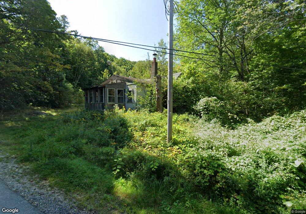
52 Shad Hill Rd Springfield, NH 03284
Estimated Value: $384,000 - $532,000
3
Beds
2
Baths
2,085
Sq Ft
$226/Sq Ft
Est. Value
About This Home
This home is located at 52 Shad Hill Rd, Springfield, NH 03284 and is currently estimated at $470,979, approximately $225 per square foot. 52 Shad Hill Rd is a home with nearby schools including Kearsarge Elementary School - New London, Kearsarge Regional Middle School, and Kearsarge Regional High School.
Ownership History
Date
Name
Owned For
Owner Type
Purchase Details
Closed on
Apr 23, 2019
Sold by
Ingham Richard
Bought by
Ingham Richard and Ingham Veronica L
Current Estimated Value
Purchase Details
Closed on
May 1, 2006
Sold by
Simoneau Peter P and Simoneau Tina M
Bought by
Ingham Richard B
Home Financials for this Owner
Home Financials are based on the most recent Mortgage that was taken out on this home.
Original Mortgage
$69,750
Interest Rate
6%
Mortgage Type
Adjustable Rate Mortgage/ARM
Create a Home Valuation Report for This Property
The Home Valuation Report is an in-depth analysis detailing your home's value as well as a comparison with similar homes in the area
Home Values in the Area
Average Home Value in this Area
Purchase History
| Date | Buyer | Sale Price | Title Company |
|---|---|---|---|
| Ingham Richard | -- | -- | |
| Ingham Richard B | $77,600 | -- |
Source: Public Records
Mortgage History
| Date | Status | Borrower | Loan Amount |
|---|---|---|---|
| Previous Owner | Ingham Richard B | $69,750 |
Source: Public Records
Tax History Compared to Growth
Tax History
| Year | Tax Paid | Tax Assessment Tax Assessment Total Assessment is a certain percentage of the fair market value that is determined by local assessors to be the total taxable value of land and additions on the property. | Land | Improvement |
|---|---|---|---|---|
| 2024 | $7,150 | $302,200 | $58,200 | $244,000 |
| 2023 | $7,032 | $302,200 | $58,200 | $244,000 |
| 2022 | $5,663 | $275,700 | $58,200 | $217,500 |
| 2020 | $1,672 | $24,400 | $24,400 | $0 |
| 2019 | $1,929 | $35,700 | $35,700 | $0 |
| 2018 | $1,986 | $35,700 | $35,700 | $0 |
| 2016 | $1,955 | $35,700 | $35,700 | $0 |
| 2015 | $771 | $35,700 | $35,700 | $0 |
| 2014 | $795 | $37,200 | $37,200 | $0 |
| 2013 | $759 | $37,200 | $37,200 | $0 |
Source: Public Records
Map
Nearby Homes
- Lot 1 Nh Route 4a
- Lot 2 Nh Route 4a
- Lot 4 Nh Route 4a
- 0 Bog Rd Unit 5038889
- 77 Hazzard Rd N
- 2800 George Hill Rd
- 639 Bog Rd
- 672 Bog Rd
- 461 Bog Rd
- 13 Lark Place
- 62 Palmer Rd
- 45 Bright Slope Way
- 0 Grafton Pond Rd Unit 64-1
- 0 Oak Hill Rd Unit 1B
- 12 Cherry Ln
- 150 Kinsman Hwy
- 3 Trillium Ln
- 54 Black Duck Spur
- 303 Road Round the Rd
- 44 Hummingbird Hill