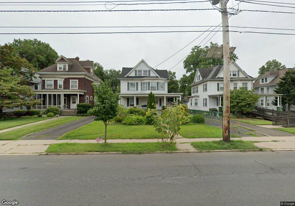
52 W Union Ave Bound Brook, NJ 08805
Estimated Value: $524,643 - $571,000
--
Bed
--
Bath
1,924
Sq Ft
$281/Sq Ft
Est. Value
About This Home
This home is located at 52 W Union Ave, Bound Brook, NJ 08805 and is currently estimated at $539,911, approximately $280 per square foot. 52 W Union Ave is a home located in Somerset County with nearby schools including LaMonte Annex Elementary School, Lafayette Elementary School, and Bound Brook High School.
Ownership History
Date
Name
Owned For
Owner Type
Purchase Details
Closed on
Mar 30, 2007
Sold by
Festa Helen Jeanne Dwyer
Bought by
Christopher Stephen L and Rader Pamela J
Current Estimated Value
Home Financials for this Owner
Home Financials are based on the most recent Mortgage that was taken out on this home.
Original Mortgage
$36,500
Outstanding Balance
$22,117
Interest Rate
6.19%
Mortgage Type
Stand Alone Second
Estimated Equity
$517,794
Create a Home Valuation Report for This Property
The Home Valuation Report is an in-depth analysis detailing your home's value as well as a comparison with similar homes in the area
Home Values in the Area
Average Home Value in this Area
Purchase History
| Date | Buyer | Sale Price | Title Company |
|---|---|---|---|
| Christopher Stephen L | $365,000 | None Available |
Source: Public Records
Mortgage History
| Date | Status | Borrower | Loan Amount |
|---|---|---|---|
| Open | Christopher Stephen L | $36,500 | |
| Open | Christopher Stephen L | $292,000 |
Source: Public Records
Tax History Compared to Growth
Tax History
| Year | Tax Paid | Tax Assessment Tax Assessment Total Assessment is a certain percentage of the fair market value that is determined by local assessors to be the total taxable value of land and additions on the property. | Land | Improvement |
|---|---|---|---|---|
| 2025 | $8,801 | $410,700 | $201,500 | $209,200 |
| 2024 | $8,801 | $387,900 | $184,500 | $203,400 |
| 2023 | $8,432 | $357,600 | $159,000 | $198,600 |
| 2022 | $8,235 | $331,000 | $142,000 | $189,000 |
| 2021 | $9,452 | $319,600 | $133,500 | $186,100 |
| 2020 | $9,147 | $296,300 | $125,000 | $171,300 |
| 2019 | $9,452 | $292,000 | $120,700 | $171,300 |
| 2018 | $9,542 | $286,200 | $112,200 | $174,000 |
| 2017 | $9,670 | $283,500 | $112,200 | $171,300 |
| 2016 | $9,796 | $289,300 | $95,200 | $194,100 |
| 2015 | $9,112 | $275,200 | $103,700 | $171,500 |
| 2014 | $7,946 | $231,800 | $61,200 | $170,600 |
Source: Public Records
Map
Nearby Homes
- 102 W Franklin St
- 320 Church St
- 520 Winsor St
- 14 E Maple Ave
- 112-114 E Union Ave
- 112 E Union Ave
- 126 W High St
- 130 W High St Unit 132
- 563 Winsor St
- 40 van Keuren Ave Unit 42
- 2 Drake St
- 34 van Keuren Ave Unit 38
- 307 W Union Ave
- 650 Central Ave
- 112 East St
- 606 Vosseller Ave
- 180 Farm Ln
- 745 Schoolhouse Ln
- 617 Vosseller Ave
- 105 La Monte Ave
- 48 W Union Ave
- 40 W Union Ave
- 38 W Union Ave
- 312 Winsor St
- 51 W Union Ave
- 34 W Union Ave
- 49 W Franklin St
- 39 W Union Ave
- 47 W Union Ave Unit 49
- 37 W Union Ave
- 53 W Franklin St
- 45 W Franklin St
- 59 W Franklin St
- 28 W Union Ave
- 41 W Franklin St
- 37 W Franklin St
- 31 W Union Ave Unit 33
- 31-33 W Union Ave
- 24 W Union Ave
- 31 W Franklin St Unit 33