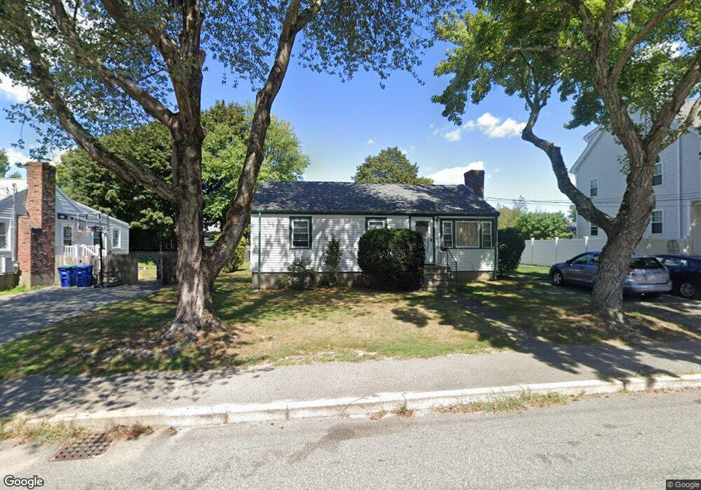
52 Water St Braintree, MA 02184
Braintree Highlands NeighborhoodEstimated Value: $662,000 - $684,000
3
Beds
3
Baths
1,344
Sq Ft
$501/Sq Ft
Est. Value
About This Home
This home is located at 52 Water St, Braintree, MA 02184 and is currently estimated at $673,712, approximately $501 per square foot. 52 Water St is a home located in Norfolk County with nearby schools including Boston Higashi School, Lighthouse Baptist Christian Academy, and CATS Academy Boston.
Ownership History
Date
Name
Owned For
Owner Type
Purchase Details
Closed on
Jul 22, 1994
Sold by
Fall Tr Robert B and Fall Tr Marjorie F
Bought by
Goldstein Jeffrey H and Goldstein Margaret E
Current Estimated Value
Home Financials for this Owner
Home Financials are based on the most recent Mortgage that was taken out on this home.
Original Mortgage
$111,000
Interest Rate
8.19%
Mortgage Type
Purchase Money Mortgage
Create a Home Valuation Report for This Property
The Home Valuation Report is an in-depth analysis detailing your home's value as well as a comparison with similar homes in the area
Home Values in the Area
Average Home Value in this Area
Purchase History
| Date | Buyer | Sale Price | Title Company |
|---|---|---|---|
| Goldstein Jeffrey H | $146,000 | -- | |
| Goldstein Jeffrey H | $146,000 | -- |
Source: Public Records
Mortgage History
| Date | Status | Borrower | Loan Amount |
|---|---|---|---|
| Open | Goldstein Jeffrey H | $120,000 | |
| Closed | Goldstein Jeffrey H | $111,000 |
Source: Public Records
Tax History Compared to Growth
Tax History
| Year | Tax Paid | Tax Assessment Tax Assessment Total Assessment is a certain percentage of the fair market value that is determined by local assessors to be the total taxable value of land and additions on the property. | Land | Improvement |
|---|---|---|---|---|
| 2025 | $5,585 | $559,600 | $326,300 | $233,300 |
| 2024 | $4,980 | $525,300 | $296,300 | $229,000 |
| 2023 | $4,701 | $481,700 | $266,200 | $215,500 |
| 2022 | $4,537 | $456,000 | $240,500 | $215,500 |
| 2021 | $4,172 | $419,300 | $217,300 | $202,000 |
| 2020 | $3,939 | $399,500 | $197,500 | $202,000 |
| 2019 | $3,716 | $368,300 | $188,900 | $179,400 |
| 2018 | $3,630 | $344,400 | $171,800 | $172,600 |
| 2017 | $3,606 | $335,800 | $163,200 | $172,600 |
| 2016 | $3,549 | $323,200 | $154,600 | $168,600 |
| 2015 | $3,292 | $297,400 | $128,800 | $168,600 |
| 2014 | $3,091 | $270,700 | $123,700 | $147,000 |
Source: Public Records
Map
Nearby Homes
- 6 E Division St
- 104 Milton Rd
- 373 N Franklin St
- 16 Woodcliff Rd
- 1501 Liberty St
- 61 Woodside Ave
- 116 Cardinal Ct
- 187 Belcher St
- 16 Winthrop Ave
- 44 Arlington Ave
- 148 N Franklin St
- 1579 Washington St
- 5 Clarendon Cir Unit Lot 4
- 184 Richard Rd
- 115 Richard Rd
- 27 Winter St
- 30 Bradford Commons Ln
- 63 Cedarhill Rd
- 96 Roberts Ave
- 117 Amherst Rd