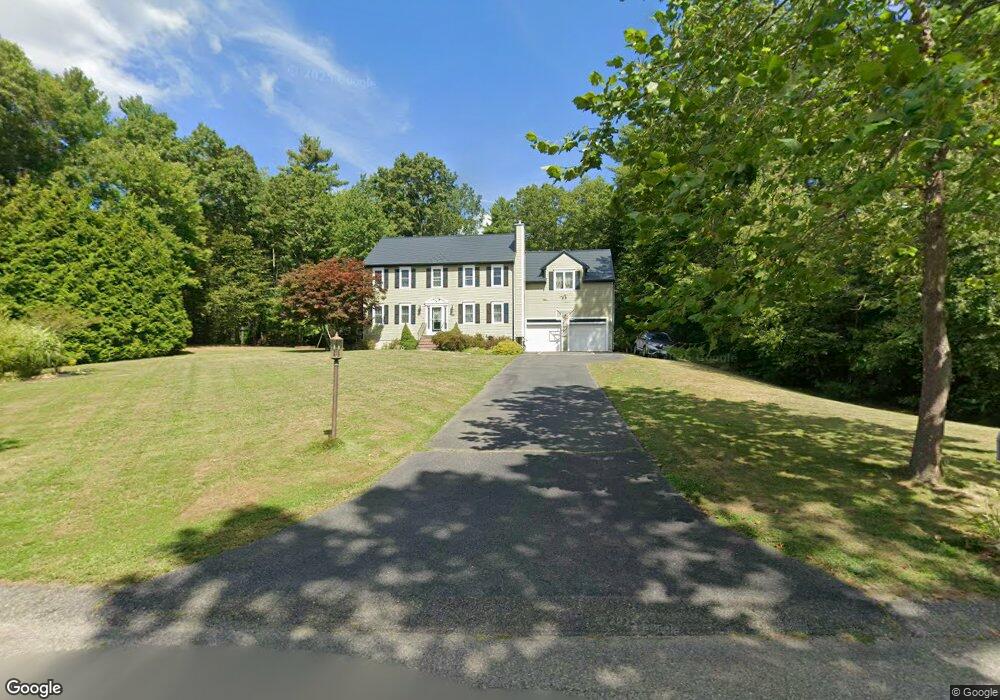
52 Willow Tree Ln Middleboro, MA 02346
Estimated Value: $739,228 - $949,000
3
Beds
3
Baths
2,824
Sq Ft
$293/Sq Ft
Est. Value
About This Home
This home is located at 52 Willow Tree Ln, Middleboro, MA 02346 and is currently estimated at $827,807, approximately $293 per square foot. 52 Willow Tree Ln is a home located in Plymouth County with nearby schools including Mary K. Goode Elementary School.
Ownership History
Date
Name
Owned For
Owner Type
Purchase Details
Closed on
Dec 17, 2018
Sold by
Boden Thomas B and Boden Donna G
Bought by
Ewa Wojnarowski Maceij J and Ewa Wonjarowska
Current Estimated Value
Home Financials for this Owner
Home Financials are based on the most recent Mortgage that was taken out on this home.
Original Mortgage
$280,000
Outstanding Balance
$246,686
Interest Rate
4.8%
Mortgage Type
New Conventional
Estimated Equity
$581,121
Purchase Details
Closed on
May 8, 2009
Sold by
Warrell Mark J and Warrell Kim M
Bought by
Boden Thomas B and Boden Donna G
Home Financials for this Owner
Home Financials are based on the most recent Mortgage that was taken out on this home.
Original Mortgage
$359,910
Interest Rate
4.9%
Mortgage Type
Purchase Money Mortgage
Purchase Details
Closed on
Nov 26, 2003
Sold by
Cmg Group Llc and Gordon Candace M
Bought by
Warrell Mark J and Warrell Kim M
Create a Home Valuation Report for This Property
The Home Valuation Report is an in-depth analysis detailing your home's value as well as a comparison with similar homes in the area
Home Values in the Area
Average Home Value in this Area
Purchase History
| Date | Buyer | Sale Price | Title Company |
|---|---|---|---|
| Ewa Wojnarowski Maceij J | $450,000 | -- | |
| Boden Thomas B | $399,900 | -- | |
| Warrell Mark J | $413,424 | -- |
Source: Public Records
Mortgage History
| Date | Status | Borrower | Loan Amount |
|---|---|---|---|
| Open | Ewa Wojnarowski Maceij J | $280,000 | |
| Previous Owner | Warrell Mark J | $359,910 | |
| Previous Owner | Warrell Mark J | $350,000 | |
| Previous Owner | Warrell Mark J | $40,000 |
Source: Public Records
Tax History
| Year | Tax Paid | Tax Assessment Tax Assessment Total Assessment is a certain percentage of the fair market value that is determined by local assessors to be the total taxable value of land and additions on the property. | Land | Improvement |
|---|---|---|---|---|
| 2025 | $8,149 | $607,700 | $181,100 | $426,600 |
| 2024 | $8,106 | $598,700 | $172,700 | $426,000 |
| 2023 | $7,430 | $521,800 | $172,700 | $349,100 |
| 2022 | $6,886 | $447,700 | $150,000 | $297,700 |
| 2021 | $6,889 | $423,400 | $137,800 | $285,600 |
| 2020 | $6,668 | $419,900 | $137,800 | $282,100 |
| 2019 | $6,500 | $419,900 | $137,800 | $282,100 |
| 2018 | $6,104 | $391,300 | $125,300 | $266,000 |
| 2017 | $5,650 | $358,300 | $120,500 | $237,800 |
| 2016 | $5,540 | $348,000 | $113,900 | $234,100 |
| 2015 | $5,301 | $335,900 | $113,900 | $222,000 |
Source: Public Records
Map
Nearby Homes
- 804 Crystal Way Unit 804CRY
- 3509 Fox Run Unit 3509FOX
- 2701 Simmons Rd Unit 2701SIM
- 3402 Island Dr
- 4303 Oak Point Dr Unit 4303OAK
- 1808 Oak Point Dr Unit 1808OAK
- 402 Blueberry Cir
- Lot 000 Summer St
- 0 Murdock St Unit 73473837
- 10 Old Thompson St
- 246 Everett St
- 620 Plymouth St
- 121 North St
- 227 E Main St
- 132 Everett St
- 1 Bloomfield Ave
- 80 Forest St
- 26 Old Summit St
- 68 Walnut St
- 829 Auburn St
Your Personal Tour Guide
Ask me questions while you tour the home.