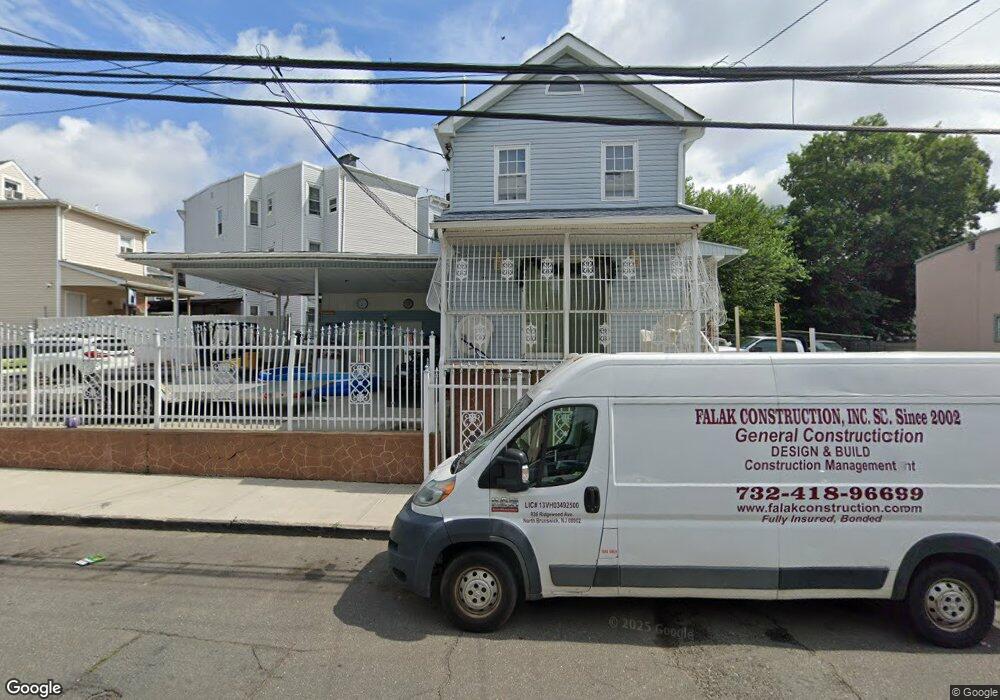
52 Wright St Newark, NJ 07114
South Broad Valley NeighborhoodEstimated Value: $295,000 - $441,000
Studio
--
Bath
2,296
Sq Ft
$165/Sq Ft
Est. Value
About This Home
This home is located at 52 Wright St, Newark, NJ 07114 and is currently estimated at $378,311, approximately $164 per square foot. 52 Wright St is a home located in Essex County with nearby schools including Louise A. Spencer School, Belmont Runyon School, and Peshine Avenue Elementary School.
Ownership History
Date
Name
Owned For
Owner Type
Purchase Details
Closed on
Jun 11, 2003
Sold by
Suarez Carmen
Bought by
Infante Evelyn
Current Estimated Value
Purchase Details
Closed on
Apr 25, 1996
Sold by
Collins Zelma
Bought by
Suarez Carmen and Hernandez Martin
Home Financials for this Owner
Home Financials are based on the most recent Mortgage that was taken out on this home.
Original Mortgage
$29,000
Interest Rate
7.82%
Create a Home Valuation Report for This Property
The Home Valuation Report is an in-depth analysis detailing your home's value as well as a comparison with similar homes in the area
Home Values in the Area
Average Home Value in this Area
Purchase History
| Date | Buyer | Sale Price | Title Company |
|---|---|---|---|
| Infante Evelyn | $65,000 | -- | |
| Suarez Carmen | $32,000 | -- |
Source: Public Records
Mortgage History
| Date | Status | Borrower | Loan Amount |
|---|---|---|---|
| Previous Owner | Suarez Carmen | $29,000 |
Source: Public Records
Tax History
| Year | Tax Paid | Tax Assessment Tax Assessment Total Assessment is a certain percentage of the fair market value that is determined by local assessors to be the total taxable value of land and additions on the property. | Land | Improvement |
|---|---|---|---|---|
| 2025 | $4,453 | $117,100 | $33,800 | $83,300 |
| 2024 | $4,365 | $117,100 | $33,800 | $83,300 |
| 2022 | $4,375 | $117,100 | $33,800 | $83,300 |
| 2021 | $4,373 | $117,100 | $33,800 | $83,300 |
| 2020 | $4,450 | $117,100 | $33,800 | $83,300 |
| 2019 | $4,404 | $117,100 | $33,800 | $83,300 |
| 2018 | $4,325 | $117,100 | $33,800 | $83,300 |
| 2017 | $4,169 | $117,100 | $33,800 | $83,300 |
| 2016 | $4,028 | $117,100 | $33,800 | $83,300 |
| 2015 | $3,875 | $117,100 | $33,800 | $83,300 |
| 2014 | $3,631 | $117,100 | $33,800 | $83,300 |
Source: Public Records
Map
Nearby Homes
- 58 Wright St
- 72 Sherman Ave
- 70 Sherman Ave
- 38 Emmet St
- 44 Milford Ave
- 97 Clinton Ave
- 84 Union St Unit C2
- 90 Clinton Ave Unit 204
- 90 Clinton Ave Unit 206
- 15-1303-1 Tichenor Ln Unit 407
- 15-1303-1 Tichenor Ln Unit 404
- 232 Sherman Ave
- 232 Sherman Ave Unit 2
- 240 Sherman Ave
- 91 Spruce St
- 9 Madison Ave
- 92 E Bigelow St
- 71 W Alpine St
- 522 Mulberry St
- 194 Astor St
Your Personal Tour Guide
Ask me questions while you tour the home.