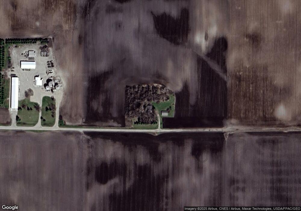
520 188th Ave SE Blomkest, MN 56216
Estimated Value: $335,000 - $351,000
--
Bed
--
Bath
2,147
Sq Ft
$159/Sq Ft
Est. Value
About This Home
This home is located at 520 188th Ave SE, Blomkest, MN 56216 and is currently estimated at $341,620, approximately $159 per square foot. 520 188th Ave SE is a home with nearby schools including Lakeland Elementary School, Willmar Middle School, and Willmar Senior High School.
Ownership History
Date
Name
Owned For
Owner Type
Purchase Details
Closed on
Dec 16, 2019
Sold by
Schow Land Co Llc
Bought by
Schow Kristy
Current Estimated Value
Purchase Details
Closed on
Dec 12, 2019
Sold by
Schow Kristy
Bought by
Schow Land Co Llc
Create a Home Valuation Report for This Property
The Home Valuation Report is an in-depth analysis detailing your home's value as well as a comparison with similar homes in the area
Home Values in the Area
Average Home Value in this Area
Purchase History
| Date | Buyer | Sale Price | Title Company |
|---|---|---|---|
| Schow Kristy | -- | Kandiyohi Abstract & Title C | |
| Schow Land Co Llc | -- | Kandiyohi Abstract & Title C |
Source: Public Records
Tax History Compared to Growth
Tax History
| Year | Tax Paid | Tax Assessment Tax Assessment Total Assessment is a certain percentage of the fair market value that is determined by local assessors to be the total taxable value of land and additions on the property. | Land | Improvement |
|---|---|---|---|---|
| 2025 | $2,854 | $315,100 | $67,000 | $248,100 |
| 2024 | $2,848 | $296,700 | $58,000 | $238,700 |
| 2023 | $2,486 | $296,800 | $51,000 | $245,800 |
| 2022 | $1,890 | $281,100 | $45,000 | $236,100 |
| 2021 | $1,500 | $198,200 | $37,400 | $160,800 |
| 2020 | $1,494 | $157,500 | $37,400 | $120,100 |
| 2019 | $1,526 | $155,200 | $33,800 | $121,400 |
| 2018 | $1,520 | $151,200 | $33,800 | $117,400 |
| 2017 | $1,032 | $153,400 | $33,800 | $119,600 |
| 2016 | $956 | $956 | $0 | $0 |
| 2015 | -- | $0 | $0 | $0 |
| 2014 | -- | $0 | $0 | $0 |
Source: Public Records
Map
Nearby Homes
- 11 N Renstrom St
- 34701 Route 7
- 418 210th Ave SE
- 1675 127th Ave SE
- 307 Roseland Ave Unit 5
- 330 1st St W
- 33796 County Road 11
- 221 Woodlawn Ave
- 16121 County Road 4 SE
- 6854 58th Ave SE
- #### County Road 5 SW
- 3120 15th St SW
- XXX 30th Ave SW
- TBD 30th Ave SW
- 2610 9th St SW
- 505 1st Ave S
- 2506 9th St SW
- 404 3rd Ave
- 115 3rd St S
- 507 Oak St
- 101 SW Blomquist St
- 116 SW Blomquist St
- 104 S Schendel St
- 110 S Schendel St
- 204 S Schendel St
- 220 S Schendel St
- 112 112 Nw 1 Ave
- 112 1st Ave NW
- 203 203 Sw Schendel St--
- 103 Schendel St SW
- 119 Schendel St SW
- 111 S Schendel St
- 121 1st Ave NW
- 211 S Schendel St SW
- 203 203 Sw Schendel St
- 203 SW Schendel St
- 203 203 Sw Schendel-Street-
- 118 1st Ave NW
- 203 S Schendel St
- 219 S Schendel St SW
