520 Bemis Rd West Brookfield, MA 01585
Estimated Value: $193,000 - $351,000
4
Beds
2
Baths
1,824
Sq Ft
$166/Sq Ft
Est. Value
About This Home
This home is located at 520 Bemis Rd, West Brookfield, MA 01585 and is currently estimated at $303,562, approximately $166 per square foot. 520 Bemis Rd is a home located in Worcester County with nearby schools including Quaboag Regional High School.
Ownership History
Date
Name
Owned For
Owner Type
Purchase Details
Closed on
Jun 15, 2004
Sold by
Sugalski Jusith A and Sugalski Walter A
Bought by
Perry Michael J and Perry Nancy J
Current Estimated Value
Home Financials for this Owner
Home Financials are based on the most recent Mortgage that was taken out on this home.
Original Mortgage
$126,350
Outstanding Balance
$61,723
Interest Rate
5.99%
Mortgage Type
Purchase Money Mortgage
Estimated Equity
$241,839
Create a Home Valuation Report for This Property
The Home Valuation Report is an in-depth analysis detailing your home's value as well as a comparison with similar homes in the area
Home Values in the Area
Average Home Value in this Area
Purchase History
| Date | Buyer | Sale Price | Title Company |
|---|---|---|---|
| Perry Michael J | $168,500 | -- |
Source: Public Records
Mortgage History
| Date | Status | Borrower | Loan Amount |
|---|---|---|---|
| Open | Perry Michael J | $126,350 |
Source: Public Records
Tax History Compared to Growth
Tax History
| Year | Tax Paid | Tax Assessment Tax Assessment Total Assessment is a certain percentage of the fair market value that is determined by local assessors to be the total taxable value of land and additions on the property. | Land | Improvement |
|---|---|---|---|---|
| 2025 | $3,751 | $253,300 | $57,400 | $195,900 |
| 2024 | $3,817 | $253,300 | $57,400 | $195,900 |
| 2023 | $3,729 | $236,000 | $57,400 | $178,600 |
| 2022 | $2,893 | $185,900 | $49,500 | $136,400 |
| 2021 | $2,775 | $173,900 | $46,700 | $127,200 |
| 2020 | $2,821 | $164,400 | $46,700 | $117,700 |
| 2019 | $2,842 | $156,600 | $46,700 | $109,900 |
| 2018 | $2,633 | $152,000 | $46,700 | $105,300 |
| 2017 | $2,582 | $139,100 | $48,500 | $90,600 |
| 2016 | $2,639 | $133,000 | $46,200 | $86,800 |
| 2015 | $2,494 | $133,000 | $46,200 | $86,800 |
| 2014 | $2,580 | $135,100 | $46,200 | $88,900 |
Source: Public Records
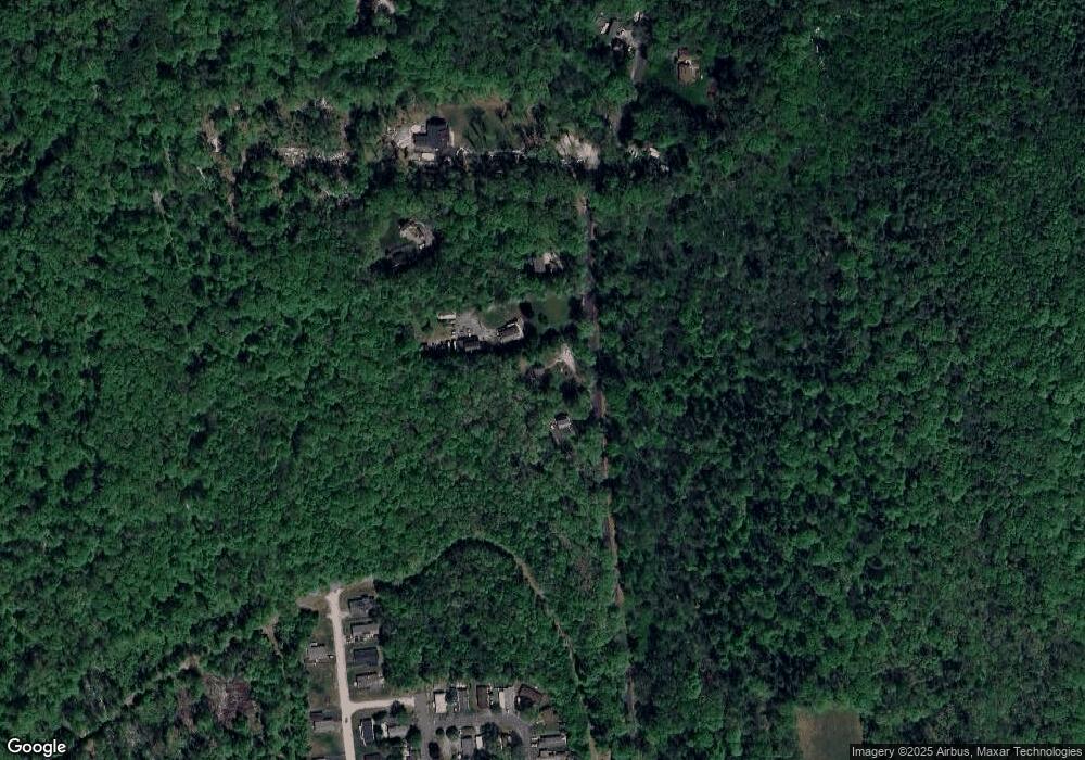
Map
Nearby Homes
- 12 Presidential Cir
- 0 Brimfield Rd Unit 73426061
- 368 Keys Rd
- 366 Southbridge Rd
- 1212 Southbridge Rd
- 515 Keys Rd
- Lot 5 Brimfield Rd
- Lot 3 Brimfield Rd
- Lot 4 Reed St
- Lot 7 Reed St
- 152 Southbridge Rd Unit 3D
- 82 Comins Pond Rd
- 124 Southbridge Rd
- 58 Nelson St
- Lot 8 Southbridge Rd
- LOT 7 Southbridge Rd
- 72 Maple St
- 29 Liberty St
- 59 High St
- 170 Bridge St
- 520 Bemis Rd
- 520 Bemis Rd Unit B
- 520 Bemis Rd Unit A
- 532 Bemis Rd
- 417 Bemis Rd
- 490 Bemis Rd
- 490 Bemis Rd Unit B
- 490 Bemis Rd
- 395 Bemis Rd
- 506 Bemis Rd
- 476 Bemis Rd
- 450 Bemis Rd
- 7 Yankee Drummer Dr
- 9 Constitution Ave
- 5 Yankee Drummer Dr
- 3 Yankee Drummer Dr
- 17 Constitution Ave
- 21 Constitution Ave
- 432 Bemis Rd
- 9 Yankee Drummer Dr