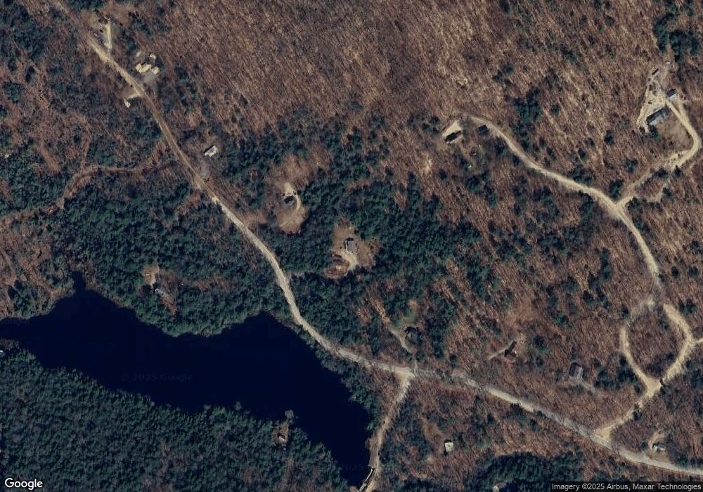
520 Bog Rd Campton, NH 03223
Estimated Value: $361,000 - $435,000
2
Beds
2
Baths
1,545
Sq Ft
$252/Sq Ft
Est. Value
About This Home
This home is located at 520 Bog Rd, Campton, NH 03223 and is currently estimated at $389,765, approximately $252 per square foot. 520 Bog Rd is a home located in Grafton County with nearby schools including Campton Elementary School and Plymouth Regional High School.
Ownership History
Date
Name
Owned For
Owner Type
Purchase Details
Closed on
Nov 23, 1998
Sold by
Hoyt Edward A
Bought by
Hughes Thomas J and Hughes Sandra M
Current Estimated Value
Home Financials for this Owner
Home Financials are based on the most recent Mortgage that was taken out on this home.
Original Mortgage
$74,744
Interest Rate
6.49%
Create a Home Valuation Report for This Property
The Home Valuation Report is an in-depth analysis detailing your home's value as well as a comparison with similar homes in the area
Home Values in the Area
Average Home Value in this Area
Purchase History
| Date | Buyer | Sale Price | Title Company |
|---|---|---|---|
| Hughes Thomas J | $75,000 | -- |
Source: Public Records
Mortgage History
| Date | Status | Borrower | Loan Amount |
|---|---|---|---|
| Open | Hughes Thomas J | $131,000 | |
| Closed | Hughes Thomas J | $74,744 |
Source: Public Records
Tax History Compared to Growth
Tax History
| Year | Tax Paid | Tax Assessment Tax Assessment Total Assessment is a certain percentage of the fair market value that is determined by local assessors to be the total taxable value of land and additions on the property. | Land | Improvement |
|---|---|---|---|---|
| 2024 | $5,557 | $322,700 | $146,000 | $176,700 |
| 2023 | $5,181 | $180,100 | $68,300 | $111,800 |
| 2022 | $4,551 | $180,100 | $68,300 | $111,800 |
| 2021 | $4,497 | $180,100 | $68,300 | $111,800 |
| 2020 | $4,366 | $179,900 | $68,300 | $111,600 |
| 2019 | $4,175 | $179,900 | $68,300 | $111,600 |
| 2018 | $4,057 | $158,900 | $55,700 | $103,200 |
| 2017 | $3,941 | $158,900 | $55,700 | $103,200 |
| 2016 | $3,796 | $158,900 | $55,700 | $103,200 |
| 2015 | $3,388 | $147,900 | $55,700 | $92,200 |
| 2014 | $3,470 | $147,900 | $55,700 | $92,200 |
| 2013 | $3,136 | $156,900 | $57,500 | $99,400 |
Source: Public Records
Map
Nearby Homes
- 5 Wildwood Dr
- 0 Lower Beech Hill Rd Unit 5029667
- 23 Cider Mill Dr
- 241 Windmill Rd
- 4 Seven Sisters Cir
- 0 Bald Mountain Rd
- 0 Bald Mountain Rd Unit 5
- 73 Ellsworth Hill Rd
- 20 Wildflower Ln Unit 208-97-9-2
- 20 Wildflower Ln Unit 208-97-9-1
- 18 Wildflower Ln Unit 208-97-8-01
- 72 Crescent St
- 311 Ellsworth Hill Rd
- 4 Morin St
- 71 Carla Ct
- 12 Smith Bridge Rd
- 51 Turkey Jim Rd
- 263 Highland St
- 9 Blueberry Hill Rd Unit 8
- 36 Puckerbrush Rd
- 530 Bog Rd
- 558 Bog Rd
- 490 Bog Rd
- 0 Beech Hill Rd
- 0 Beech Hill Rd Unit 4968144
- 0 Beech Hill Rd Unit Lot 3 4967589
- 0 Beech Hill Rd Unit 4 4885038
- 0 Beech Hill Rd Unit 4800477
- 0 Beech Hill Rd Unit 4421971
- 0 Beech Hill Rd Unit Lot 20-2-2-1 4604739
- 30 Lindsley Cir
- 482 Bog Rd
- 542 Bog Rd
- 503 Beech Hill Rd
- 545 Bog Rd
- 524 Beech Hill Rd
- BOG ROAD Bog Rd
- 862 Bog Rd
- 0 Bog Rd
- 40 Lindsley Cir
