520 Central Ave Vaughn, MT 59487
Estimated Value: $253,000 - $388,000
3
Beds
2
Baths
1,980
Sq Ft
$158/Sq Ft
Est. Value
About This Home
This home is located at 520 Central Ave, Vaughn, MT 59487 and is currently estimated at $312,181, approximately $157 per square foot. 520 Central Ave is a home located in Cascade County with nearby schools including Vaughn Elementary School, Vaughn Junior High School, and Simms High School.
Ownership History
Date
Name
Owned For
Owner Type
Purchase Details
Closed on
Feb 8, 2018
Sold by
Gurnsey Henry H
Bought by
Gurnsey John G and Gurnsey Mary L
Current Estimated Value
Home Financials for this Owner
Home Financials are based on the most recent Mortgage that was taken out on this home.
Original Mortgage
$140,000
Outstanding Balance
$118,448
Interest Rate
3.95%
Estimated Equity
$193,733
Purchase Details
Closed on
Aug 17, 2007
Sold by
Bass Connie Christine
Bought by
Gurnsey Henry H
Create a Home Valuation Report for This Property
The Home Valuation Report is an in-depth analysis detailing your home's value as well as a comparison with similar homes in the area
Home Values in the Area
Average Home Value in this Area
Purchase History
| Date | Buyer | Sale Price | Title Company |
|---|---|---|---|
| Gurnsey John G | -- | Chicago Title Co Llc | |
| Gurnsey Henry H | -- | None Available |
Source: Public Records
Mortgage History
| Date | Status | Borrower | Loan Amount |
|---|---|---|---|
| Open | Gurnsey John G | $140,000 |
Source: Public Records
Tax History Compared to Growth
Tax History
| Year | Tax Paid | Tax Assessment Tax Assessment Total Assessment is a certain percentage of the fair market value that is determined by local assessors to be the total taxable value of land and additions on the property. | Land | Improvement |
|---|---|---|---|---|
| 2025 | $1,125 | $164,968 | $0 | $0 |
| 2024 | $1,654 | $168,619 | $0 | $0 |
| 2023 | $1,544 | $168,619 | $0 | $0 |
| 2022 | $1,419 | $139,361 | $0 | $0 |
| 2021 | $1,150 | $139,361 | $0 | $0 |
| 2020 | $1,373 | $141,146 | $0 | $0 |
| 2019 | $1,358 | $141,146 | $0 | $0 |
| 2018 | $1,393 | $139,559 | $0 | $0 |
| 2017 | $1,755 | $202,900 | $0 | $0 |
| 2016 | $1,799 | $183,700 | $0 | $0 |
| 2015 | $1,668 | $183,700 | $0 | $0 |
| 2014 | $1,602 | $83,767 | $0 | $0 |
Source: Public Records
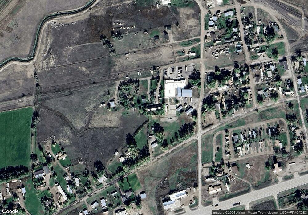
Map
Nearby Homes
- 380 Central Ave
- 895 1st Ave
- 935 1st Ave
- 29 12th St
- 1121 3rd Ave
- 1140 5th Ave
- 130 Meadows Loop
- 14 Taft Rd
- 195 Sun Meadows Rd
- 58 Prairie Dog Ln
- 1002 Wilson Rd
- TBD Luebbe Rd
- Nhn Vaughn South Frontage Rd Unit 160 acres
- Nhn Vaughn South Frontage Rd
- 301 Airport Bench Rd
- 291 Airport Bench Rd
- 150 Largent St
- 1202 U S Highway 89
- TBD Scorpio Dr
- 127 Leo Ln