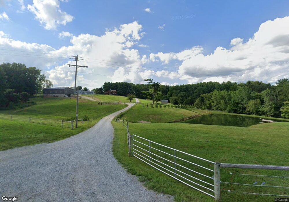
520 Cr 2575 Loudonville, OH 44842
Estimated Value: $369,000
4
Beds
2
Baths
2,765
Sq Ft
$133/Sq Ft
Est. Value
About This Home
This home is located at 520 Cr 2575, Loudonville, OH 44842 and is currently priced at $369,000, approximately $133 per square foot. 520 Cr 2575 is a home located in Ashland County with nearby schools including McMullen Elementary School, Budd Elementary School, and Loudonville High School.
Ownership History
Date
Name
Owned For
Owner Type
Purchase Details
Closed on
Jan 12, 2022
Sold by
Troyer Andrew J and Troyer Lydia J
Bought by
Mohican Livestock Llc
Current Estimated Value
Purchase Details
Closed on
Jun 2, 2016
Sold by
Daniel Hostetler and Daniel Esther
Bought by
Troyer Andrew J and Troyer Lydia J
Home Financials for this Owner
Home Financials are based on the most recent Mortgage that was taken out on this home.
Original Mortgage
$187,000
Interest Rate
3.59%
Mortgage Type
New Conventional
Purchase Details
Closed on
May 7, 2003
Bought by
Elkins David S
Create a Home Valuation Report for This Property
The Home Valuation Report is an in-depth analysis detailing your home's value as well as a comparison with similar homes in the area
Home Values in the Area
Average Home Value in this Area
Purchase History
| Date | Buyer | Sale Price | Title Company |
|---|---|---|---|
| Mohican Livestock Llc | -- | Bowling Kristy I | |
| Mohican Livestock Llc | -- | None Listed On Document | |
| Troyer Andrew J | $195,000 | Ashland Title Agcy | |
| Elkins David S | $130,000 | -- |
Source: Public Records
Mortgage History
| Date | Status | Borrower | Loan Amount |
|---|---|---|---|
| Previous Owner | Troyer Andrew J | $187,000 |
Source: Public Records
Tax History Compared to Growth
Tax History
| Year | Tax Paid | Tax Assessment Tax Assessment Total Assessment is a certain percentage of the fair market value that is determined by local assessors to be the total taxable value of land and additions on the property. | Land | Improvement |
|---|---|---|---|---|
| 2024 | $3,257 | $83,620 | $13,290 | $70,330 |
| 2023 | $3,257 | $83,620 | $13,290 | $70,330 |
| 2022 | $2,582 | $57,670 | $9,170 | $48,500 |
| 2021 | $2,560 | $57,670 | $9,170 | $48,500 |
| 2020 | $2,409 | $57,670 | $9,170 | $48,500 |
| 2019 | $2,477 | $58,680 | $8,440 | $50,240 |
| 2018 | $2,504 | $58,680 | $8,440 | $50,240 |
| 2017 | $1,950 | $58,680 | $8,440 | $50,240 |
| 2016 | $1,950 | $46,720 | $7,340 | $39,380 |
| 2015 | $1,937 | $46,720 | $7,340 | $39,380 |
| 2013 | $2,311 | $56,040 | $7,360 | $48,680 |
Source: Public Records
Map
Nearby Homes
- 510 Township Road 2402
- 2818 Township Road 2812
- 1406 Pearl Dr
- 816 Vincent Dr
- 0 County Road 775
- 319 Highland Ct
- 209 N Market St
- 204 N Spring St
- 516 E Main St
- 311 Township Road 2300
- Tract 1 Township Rd 2300
- Tract 2 Township Rd 2300
- 227 S Jefferson St
- 232 Hoffman Rd
- 928 Township Road 2704
- 2184 State Route 179
- 0 Township Road 937
- 0 Co Rd 967 Unit 229244
- TBD County Road 967
- 0 County Road 967 Unit 9066830
- 520 County Road 2575 Unit B
- 520 County Road 2575
- 520 County Road 2575
- 520 County Road 2575 Unit B
- 520 Cr 2575
- 520 Cr 2575
- 2563 State Route 60
- 2579 Ohio 60
- 2575 State Route 60
- 2585 State Route 60
- 2565 State Route 60
- 2579 State Route 60
- 2567 State Route 60
- 2567 Ohio 60
- 2585 Ohio 60
- 2589 State Route 60
- 2559 State Route 60
- 2559 Ohio 60
- 2597 State Route 60
- 2597 Ohio 60