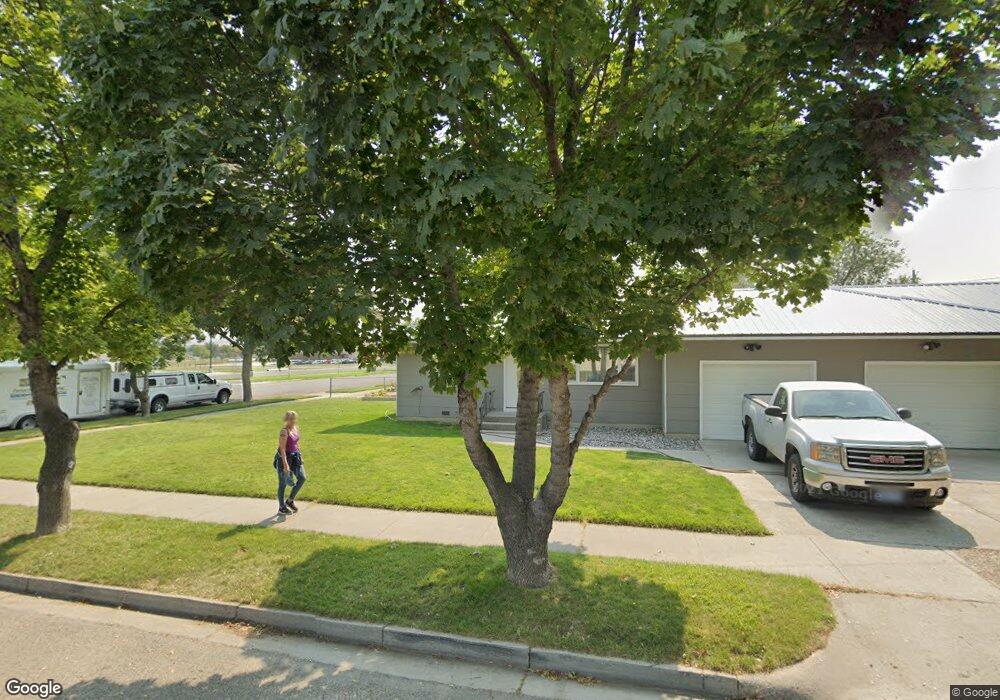
520 E Maryland Ln Laurel, MT 59044
Estimated Value: $260,134 - $318,000
8
Beds
4
Baths
1,588
Sq Ft
$182/Sq Ft
Est. Value
About This Home
This home is located at 520 E Maryland Ln, Laurel, MT 59044 and is currently estimated at $289,067, approximately $182 per square foot. 520 E Maryland Ln is a home located in Yellowstone County with nearby schools including Fred W. Graff School, West School, and Laurel Middle School.
Ownership History
Date
Name
Owned For
Owner Type
Purchase Details
Closed on
Apr 10, 2009
Sold by
Ohlin Brad T and Sanderson Laura J
Bought by
Merrifield Brett S and Merrifield Sarah C
Current Estimated Value
Home Financials for this Owner
Home Financials are based on the most recent Mortgage that was taken out on this home.
Original Mortgage
$116,910
Outstanding Balance
$74,381
Interest Rate
5.06%
Mortgage Type
FHA
Estimated Equity
$214,686
Purchase Details
Closed on
Aug 15, 2008
Sold by
Sanderson Laura J
Bought by
Ohlin Brad T and Sanderson Laura J
Create a Home Valuation Report for This Property
The Home Valuation Report is an in-depth analysis detailing your home's value as well as a comparison with similar homes in the area
Home Values in the Area
Average Home Value in this Area
Purchase History
| Date | Buyer | Sale Price | Title Company |
|---|---|---|---|
| Merrifield Brett S | -- | St | |
| Ohlin Brad T | -- | None Available |
Source: Public Records
Mortgage History
| Date | Status | Borrower | Loan Amount |
|---|---|---|---|
| Open | Merrifield Brett S | $116,910 |
Source: Public Records
Tax History Compared to Growth
Tax History
| Year | Tax Paid | Tax Assessment Tax Assessment Total Assessment is a certain percentage of the fair market value that is determined by local assessors to be the total taxable value of land and additions on the property. | Land | Improvement |
|---|---|---|---|---|
| 2025 | $2,196 | $241,300 | $55,444 | $185,856 |
| 2024 | $2,196 | $216,200 | $47,884 | $168,316 |
| 2023 | $2,030 | $216,200 | $47,884 | $168,316 |
| 2022 | $1,487 | $178,200 | $0 | $0 |
| 2021 | $1,796 | $178,200 | $0 | $0 |
| 2020 | $1,680 | $165,200 | $0 | $0 |
| 2019 | $1,704 | $165,200 | $0 | $0 |
| 2018 | $1,812 | $156,600 | $0 | $0 |
| 2017 | $1,334 | $156,600 | $0 | $0 |
| 2016 | $1,436 | $145,200 | $0 | $0 |
| 2015 | $1,420 | $145,200 | $0 | $0 |
| 2014 | $1,094 | $56,074 | $0 | $0 |
Source: Public Records
Map
Nearby Homes
- 1003 Montana Ave
- 516 Pennsylvania Ave
- 1004 E 8th St
- 802-816 Date Ave
- 717 E 5th, 506 Alder Ave
- 1006 Sunhaven Dr
- 1008 Sunhaven Dr
- 109 E 12th St
- 810 Piper Loop
- 1104 E 8th St
- 1108 E 8th St
- 801 E 4th St
- 1115 Sunhaven Dr
- 518 Date Ave
- 110 E 5th St
- 1336 Pennsylvania Ave
- 403 Grandview Blvd
- 512 W 14th St
- 116 4th Ave
- 1805 E Maryland Ln
- 916 Washington Ave
- 912 Washington Ave
- 919 Wyoming Ave
- 1002 Golden Spike Dr
- 913 Wyoming Ave
- 1001 Golden Spike Cir
- 908 Washington Ave
- 911 Wyoming Ave
- 1003 Golden Spike Cir
- 1003 Golden Spike Cir
- 1004 Golden Spike Dr
- 1002 Golden Spike Cir
- 907 Wyoming Ave
- 902 Washington Ave
- 901 Wyoming Ave
- 1006 Golden Spike Dr
- 1005 Golden Spike Dr
- 1004 Golden Spike Cir
- 000 E 9th St
- 1001 Sante fe Cir