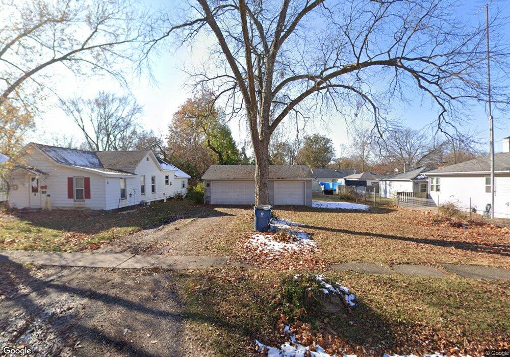
520 Linden Ave Centralia, IL 62801
Estimated Value: $73,429 - $128,000
--
Bed
--
Bath
1,060
Sq Ft
$88/Sq Ft
Est. Value
About This Home
This home is located at 520 Linden Ave, Centralia, IL 62801 and is currently estimated at $93,607, approximately $88 per square foot. 520 Linden Ave is a home located in Marion County with nearby schools including Centralia High School, St. Mary School, and Trinity Lutheran School.
Ownership History
Date
Name
Owned For
Owner Type
Purchase Details
Closed on
May 11, 2015
Sold by
Barwald Timothy Robert
Bought by
Barwald Kimberly Ann
Current Estimated Value
Purchase Details
Closed on
Aug 9, 2005
Sold by
Alliance Relocation & Management Service
Bought by
Barwald Timothy R
Home Financials for this Owner
Home Financials are based on the most recent Mortgage that was taken out on this home.
Original Mortgage
$56,905
Outstanding Balance
$35,533
Interest Rate
8.75%
Mortgage Type
Adjustable Rate Mortgage/ARM
Estimated Equity
$58,074
Create a Home Valuation Report for This Property
The Home Valuation Report is an in-depth analysis detailing your home's value as well as a comparison with similar homes in the area
Home Values in the Area
Average Home Value in this Area
Purchase History
| Date | Buyer | Sale Price | Title Company |
|---|---|---|---|
| Barwald Kimberly Ann | -- | -- | |
| Barwald Timothy R | $30,000 | Certified Title Co |
Source: Public Records
Mortgage History
| Date | Status | Borrower | Loan Amount |
|---|---|---|---|
| Open | Barwald Timothy R | $56,905 |
Source: Public Records
Tax History Compared to Growth
Tax History
| Year | Tax Paid | Tax Assessment Tax Assessment Total Assessment is a certain percentage of the fair market value that is determined by local assessors to be the total taxable value of land and additions on the property. | Land | Improvement |
|---|---|---|---|---|
| 2024 | $750 | $15,630 | $3,310 | $12,320 |
| 2023 | $739 | $14,600 | $3,090 | $11,510 |
| 2022 | $742 | $14,010 | $4,020 | $9,990 |
| 2021 | $698 | $13,100 | $3,760 | $9,340 |
| 2020 | $670 | $12,700 | $3,640 | $9,060 |
| 2019 | $635 | $12,240 | $3,510 | $8,730 |
| 2018 | $582 | $11,620 | $3,510 | $8,110 |
| 2017 | $567 | $11,390 | $3,440 | $7,950 |
| 2016 | $555 | $10,950 | $3,310 | $7,640 |
| 2015 | $5 | $10,950 | $3,310 | $7,640 |
| 2012 | $5 | $10,740 | $3,250 | $7,490 |
Source: Public Records
Map
Nearby Homes
- 431 Melrose Ave
- 2 Charles Dr
- 327 Linden Ave
- 424 Anderson St
- 6 Charles Dr
- 426 Marquis Ave
- 610 Short St
- 521 Marquis Ave
- 810 E 7th St
- 32 Circle Dr
- 838 E 2nd St Unit 846
- 716 Cedar St
- 137 S Pine St
- 515 S Sycamore St
- 1722 Frazier Ave
- 634 Sara Dr
- 1114 S Perrine Ave
- 1014 E Broadway
- 873 E Noleman St
- 1201 E Noleman St
- 516 Linden Ave
- 536 Linden Ave
- 536 S Linden 10 Unit 10
- 538 Linden Ave
- 509 Melrose Ave
- 515 Melrose Ave
- 503 Melrose Ave
- 519 Melrose Ave
- 540 Linden Ave
- 515 Linden Ave
- 525 Linden Ave
- 1121 Frazier Ave
- 529 Melrose Ave
- 505 Linden Ave
- 504 Linden Ave
- 953 Frazier Ave
- 531 Linden Ave
- 531 Melrose Ave
- 1201 Frazier Ave
- 535 Linden Ave