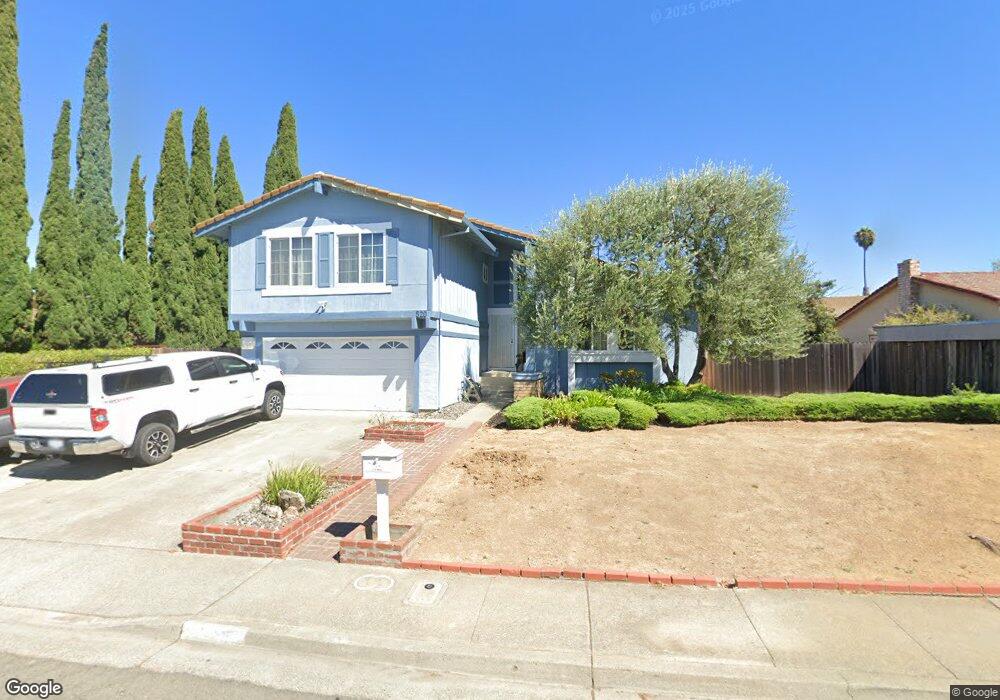
520 Locust Dr Vallejo, CA 94591
Estimated Value: $608,219 - $670,000
4
Beds
3
Baths
1,909
Sq Ft
$337/Sq Ft
Est. Value
About This Home
This home is located at 520 Locust Dr, Vallejo, CA 94591 and is currently estimated at $643,555, approximately $337 per square foot. 520 Locust Dr is a home located in Solano County with nearby schools including Joseph H. Wardlaw Elementary School, Hogan Middle School, and Jesse M. Bethel High School.
Ownership History
Date
Name
Owned For
Owner Type
Purchase Details
Closed on
Aug 13, 2018
Sold by
Canaya Michael F and Canaya Jenny P
Bought by
Canaya Michael Filamor and Pamogas Canaya Jenny Alas
Current Estimated Value
Purchase Details
Closed on
Aug 27, 1998
Sold by
Datu Dominador P and Datu P P
Bought by
Canaya Michael F and Canaya Jenny P
Home Financials for this Owner
Home Financials are based on the most recent Mortgage that was taken out on this home.
Original Mortgage
$138,700
Interest Rate
6.93%
Create a Home Valuation Report for This Property
The Home Valuation Report is an in-depth analysis detailing your home's value as well as a comparison with similar homes in the area
Purchase History
| Date | Buyer | Sale Price | Title Company |
|---|---|---|---|
| Canaya Michael Filamor | -- | None Available | |
| Canaya Michael F | $185,000 | Frontier Title Company |
Source: Public Records
Mortgage History
| Date | Status | Borrower | Loan Amount |
|---|---|---|---|
| Previous Owner | Canaya Michael F | $138,700 | |
| Closed | Canaya Michael F | $27,800 |
Source: Public Records
Tax History
| Year | Tax Paid | Tax Assessment Tax Assessment Total Assessment is a certain percentage of the fair market value that is determined by local assessors to be the total taxable value of land and additions on the property. | Land | Improvement |
|---|---|---|---|---|
| 2025 | $4,586 | $294,473 | $70,537 | $223,936 |
| 2024 | $4,586 | $288,700 | $69,154 | $219,546 |
| 2023 | $4,325 | $283,041 | $67,799 | $215,242 |
| 2022 | $4,224 | $277,492 | $66,471 | $211,021 |
| 2021 | $4,130 | $272,052 | $65,168 | $206,884 |
| 2020 | $4,142 | $269,263 | $64,500 | $204,763 |
| 2019 | $4,015 | $263,985 | $63,236 | $200,749 |
| 2018 | $3,719 | $254,889 | $61,997 | $192,892 |
| 2017 | $3,556 | $249,892 | $60,782 | $189,110 |
| 2016 | $2,980 | $244,993 | $59,591 | $185,402 |
| 2015 | $2,940 | $241,314 | $58,696 | $182,618 |
| 2014 | $2,896 | $236,588 | $57,547 | $179,041 |
Source: Public Records
Map
Nearby Homes
- 155 White Pine Dr
- 453 Knights Cir
- 134 Nashville Ln
- 401 Avian Dr
- 118 Lytham Way
- 124 Gregory Ln
- 223 Wedgewood Ct
- N/A N A
- 873 Knights Cir
- 102 Avian Dr
- 841 Knights Cir
- 41 Canterbury Cir
- 103 Sandalwood Ct
- 136 Evergreen Way
- 2500 Springs Rd Unit 121
- 2500 Springs Rd Unit 116
- 22 Brighton Dr
- 312 Cottonwood Dr
- 730 Britannia Dr
- 272 Woodridge Dr