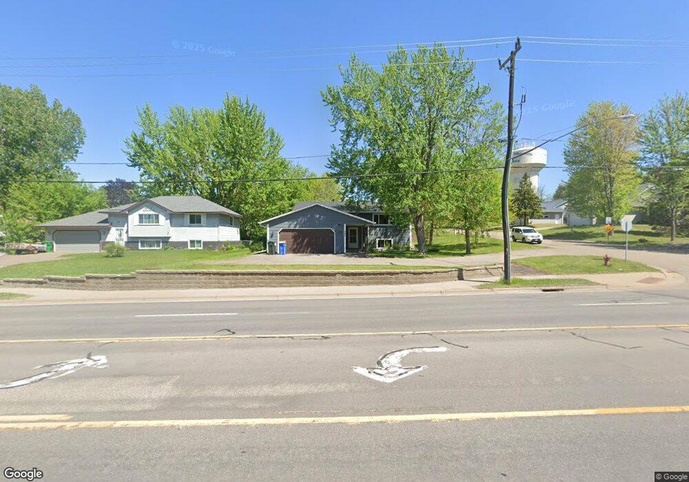
520 Main St N Saint Michael, MN 55376
Estimated Value: $319,000 - $339,338
3
Beds
2
Baths
1,841
Sq Ft
$179/Sq Ft
Est. Value
About This Home
This home is located at 520 Main St N, Saint Michael, MN 55376 and is currently estimated at $330,335, approximately $179 per square foot. 520 Main St N is a home located in Wright County with nearby schools including Albertville Primary School, Fieldstone Elementary School, and St. Michael-Albertville Middle West.
Ownership History
Date
Name
Owned For
Owner Type
Purchase Details
Closed on
Jun 2, 2022
Sold by
Peters Dean and Peters Christine
Bought by
Frank Logan and Frank Jasmine
Current Estimated Value
Home Financials for this Owner
Home Financials are based on the most recent Mortgage that was taken out on this home.
Original Mortgage
$315,138
Outstanding Balance
$299,434
Interest Rate
5.11%
Mortgage Type
New Conventional
Estimated Equity
$30,901
Create a Home Valuation Report for This Property
The Home Valuation Report is an in-depth analysis detailing your home's value as well as a comparison with similar homes in the area
Home Values in the Area
Average Home Value in this Area
Purchase History
| Date | Buyer | Sale Price | Title Company |
|---|---|---|---|
| Frank Logan | $331,725 | -- |
Source: Public Records
Mortgage History
| Date | Status | Borrower | Loan Amount |
|---|---|---|---|
| Open | Frank Logan | $315,138 |
Source: Public Records
Tax History
| Year | Tax Paid | Tax Assessment Tax Assessment Total Assessment is a certain percentage of the fair market value that is determined by local assessors to be the total taxable value of land and additions on the property. | Land | Improvement |
|---|---|---|---|---|
| 2025 | $3,154 | $308,600 | $107,000 | $201,600 |
| 2024 | $3,112 | $292,100 | $102,000 | $190,100 |
| 2023 | $3,166 | $302,500 | $105,900 | $196,600 |
| 2022 | $2,946 | $286,700 | $98,000 | $188,700 |
| 2021 | $2,844 | $232,700 | $70,000 | $162,700 |
| 2020 | $2,722 | $219,100 | $65,000 | $154,100 |
| 2019 | $2,438 | $206,400 | $0 | $0 |
| 2018 | $2,258 | $165,000 | $0 | $0 |
| 2017 | $2,112 | $156,800 | $0 | $0 |
| 2016 | $2,044 | $0 | $0 | $0 |
| 2015 | $2,022 | $0 | $0 | $0 |
| 2014 | -- | $0 | $0 | $0 |
Source: Public Records
Map
Nearby Homes
- 523 Main St N
- 145 Terrace Rd NE
- 428 Main St N
- 204 Grand Ave NE
- 91 Grand Ave NE
- 209 Grand Ave NE
- 413 3rd St NW
- 409 Heights Rd NW
- 400 Elder Cir NW
- 4566 Landmark Dr NE
- 512 Dogwood Ave NW
- 309 Central Ave W
- 5512 Kalenda Dr NE
- 10242 49th St NE
- 5534 Lachman Ave NE
- 11876 38th Cir NE
- 608 Ridge Dr SE
- 10667 38th Cir NE
- 3775 Kalland Ave NE
- 304 Main St S
- 522 Main St N
- 521 Terrace Place NE
- 526 Main St N
- 523 Terrace Place NE
- 516 Main St N
- 15 Terrace Rd NE
- 525 Terrace Place NE
- 17 Terrace Rd NE
- 528 Main St N
- 525 Main St N
- 527 Terrace Place NE
- 520 Terrace Place NE
- 53 Terrace Rd NE
- 521 Main St N
- 512 Main St N
- 532 1st St NW
- 524 Terrace Place NE
- 528 1st St NW
- 108 Terrace Rd NE
- 524 1st St NW
Your Personal Tour Guide
Ask me questions while you tour the home.