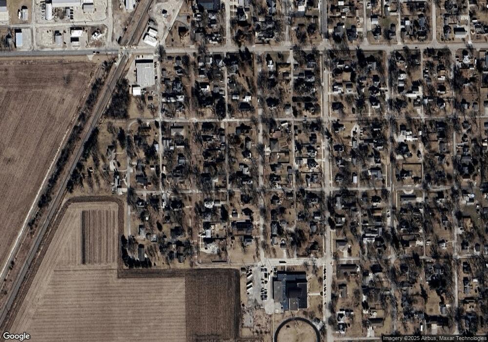
520 Maple St Chenoa, IL 61726
Estimated Value: $110,318 - $132,000
Studio
1
Bath
1,136
Sq Ft
$108/Sq Ft
Est. Value
About This Home
This home is located at 520 Maple St, Chenoa, IL 61726 and is currently estimated at $122,580, approximately $107 per square foot. 520 Maple St is a home located in McLean County with nearby schools including Prairie Central High School.
Create a Home Valuation Report for This Property
The Home Valuation Report is an in-depth analysis detailing your home's value as well as a comparison with similar homes in the area
Tax History Compared to Growth
Tax History
| Year | Tax Paid | Tax Assessment Tax Assessment Total Assessment is a certain percentage of the fair market value that is determined by local assessors to be the total taxable value of land and additions on the property. | Land | Improvement |
|---|---|---|---|---|
| 2024 | $1,697 | $30,728 | $4,321 | $26,407 |
| 2022 | $1,697 | $23,600 | $3,718 | $19,882 |
| 2021 | $1,620 | $23,060 | $3,633 | $19,427 |
| 2020 | $1,510 | $21,441 | $3,378 | $18,063 |
| 2019 | $1,551 | $21,441 | $3,378 | $18,063 |
| 2018 | $1,640 | $21,231 | $3,345 | $17,886 |
| 2017 | $1,468 | $21,231 | $3,345 | $17,886 |
| 2016 | $1,391 | $21,231 | $3,345 | $17,886 |
| 2015 | $1,376 | $21,784 | $3,432 | $18,352 |
| 2014 | $1,370 | $21,784 | $3,432 | $18,352 |
| 2013 | -- | $22,021 | $3,469 | $18,552 |
Source: Public Records
Map
Nearby Homes
- 517 Sunrise Dr
- 503 N Commercial St
- 117 Clark St
- 605 Morningside Dr
- 301 N 2nd Ave
- 602 N 4th Ave
- 29758 N 2850 East Rd
- 10788 N 1000 Rd E
- 9898 E 1200 North Rd
- 31439 2nd St
- 706 W Wall St
- 208 E 8th St
- 108 E Gridley Rd
- 14373 N 1700 Rd E
- 21671 Clarksville Rd
- 8735 N 2000 East Rd
- 10735 E 1700 Rd N
- 1702 S Plum St
- Lots 3&4 Allison Rd
- 128 Allison Rd
