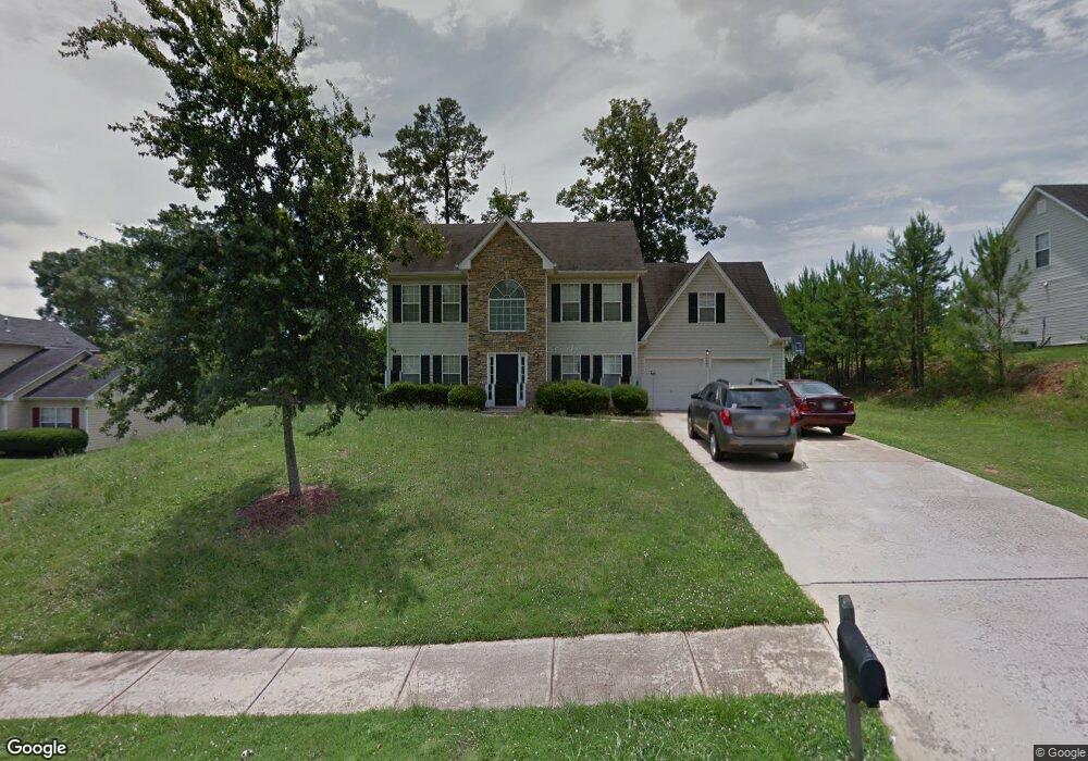
520 Michael Cir Monroe, GA 30655
Estimated Value: $316,000 - $340,000
Studio
1
Bath
2,165
Sq Ft
$150/Sq Ft
Est. Value
About This Home
This home is located at 520 Michael Cir, Monroe, GA 30655 and is currently estimated at $325,811, approximately $150 per square foot. 520 Michael Cir is a home located in Walton County with nearby schools including Atha Road Elementary School, Youth Middle School, and Walnut Grove High School.
Ownership History
Date
Name
Owned For
Owner Type
Purchase Details
Closed on
Sep 20, 2023
Sold by
Wrpv 14 Sfr Owner 1 Llc
Bought by
Wrpv 14 Sfr Borrower Llc
Current Estimated Value
Home Financials for this Owner
Home Financials are based on the most recent Mortgage that was taken out on this home.
Original Mortgage
$75,000,000
Outstanding Balance
$44,566,153
Interest Rate
7.23%
Mortgage Type
New Conventional
Estimated Equity
-$44,240,342
Purchase Details
Closed on
Jul 27, 2022
Sold by
Jacquitte Morrison
Bought by
Second Avenue Sfr Holdings Ii Llc
Purchase Details
Closed on
May 13, 2002
Sold by
Jacquitte Morrison
Bought by
Jacquitte Morrison and Jacquitte Alexadra
Home Financials for this Owner
Home Financials are based on the most recent Mortgage that was taken out on this home.
Original Mortgage
$120,500
Interest Rate
6.38%
Mortgage Type
New Conventional
Create a Home Valuation Report for This Property
The Home Valuation Report is an in-depth analysis detailing your home's value as well as a comparison with similar homes in the area
Home Values in the Area
Average Home Value in this Area
Purchase History
| Date | Buyer | Sale Price | Title Company |
|---|---|---|---|
| Wrpv 14 Sfr Borrower Llc | -- | -- | |
| Second Avenue Sfr Holdings Ii Llc | $320,000 | -- | |
| Jacquitte Morrison | -- | -- | |
| Jacquitte Morrison | $135,400 | -- |
Source: Public Records
Mortgage History
| Date | Status | Borrower | Loan Amount |
|---|---|---|---|
| Open | Wrpv 14 Sfr Borrower Llc | $75,000,000 | |
| Previous Owner | Jacquitte Morrison | $120,500 |
Source: Public Records
Tax History
| Year | Tax Paid | Tax Assessment Tax Assessment Total Assessment is a certain percentage of the fair market value that is determined by local assessors to be the total taxable value of land and additions on the property. | Land | Improvement |
|---|---|---|---|---|
| 2025 | $4,351 | $123,680 | $22,000 | $101,680 |
| 2024 | $4,210 | $123,680 | $22,000 | $101,680 |
| 2023 | $4,274 | $122,240 | $22,000 | $100,240 |
| 2022 | $3,525 | $94,400 | $17,200 | $77,200 |
| 2021 | $2,692 | $69,640 | $13,200 | $56,440 |
| 2020 | $2,550 | $64,280 | $12,400 | $51,880 |
| 2019 | $2,452 | $55,560 | $12,000 | $43,560 |
| 2018 | $2,188 | $55,560 | $12,000 | $43,560 |
| 2017 | $1,968 | $46,960 | $8,000 | $38,960 |
| 2016 | $1,933 | $46,880 | $8,000 | $38,880 |
| 2015 | $1,722 | $41,040 | $8,000 | $33,040 |
| 2014 | -- | $33,240 | $8,000 | $25,240 |
Source: Public Records
Map
Nearby Homes
- 720 Overlook Crest
- 679 Michael Cir
- 675 Michael Cir
- 661 Michael Cir
- 509 Mill Farm Ln
- 943 Masters Dr Unit 2
- 921 Horizon Ct
- 631 St Ives Walk
- 925 Tigers Way
- 911 Woodchase Dr
- 810 Hampton
- 505 Breedlove Dr
- 506 Breedlove Dr
- 250 Martin Luther King Junior Blvd
- 0 Pine View Dr Unit CL350808
- 0 Pine View Dr Unit 10706074
- 0 Pine View Dr Unit 7731449
- 150 Mountain View Dr
- 299 Claiborne Way
- 823 Legends Dr
- 518 Michael Cir
- 522 Michael Cir
- 715 Overlook Crest
- 711 Overlook Crest
- 717 Overlook Crest
- 516 Michael Cir
- 521 Michael Cir
- 524 Michael Cir
- 523 Michael Cir
- 519 Michael Cir
- 709 Overlook Crest
- 721 Overlook Crest
- 525 Michael Cir
- 514 Michael Cir
- 528 Michael Cir
- 705 Overlook Crest
- 529 Michael Cir
- 723 Overlook Crest
- 718 Overlook Crest
- 712 Overlook Crest
Your Personal Tour Guide
Ask me questions while you tour the home.