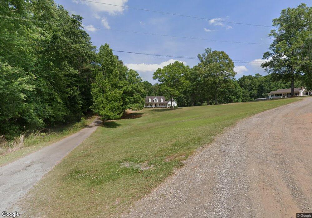
520 N Stringer Rd Canton, GA 30115
Union Hill NeighborhoodEstimated Value: $551,000 - $814,000
3
Beds
3
Baths
2,864
Sq Ft
$234/Sq Ft
Est. Value
About This Home
This home is located at 520 N Stringer Rd, Canton, GA 30115 and is currently estimated at $669,943, approximately $233 per square foot. 520 N Stringer Rd is a home located in Cherokee County with nearby schools including Hickory Flat Elementary School, Rusk Middle School, and Sequoyah High School.
Ownership History
Date
Name
Owned For
Owner Type
Purchase Details
Closed on
Apr 15, 2020
Sold by
Stringer Thomas Mark
Bought by
Stringer Thomas Mark
Current Estimated Value
Home Financials for this Owner
Home Financials are based on the most recent Mortgage that was taken out on this home.
Original Mortgage
$293,040
Outstanding Balance
$260,019
Interest Rate
3.6%
Mortgage Type
FHA
Estimated Equity
$409,924
Create a Home Valuation Report for This Property
The Home Valuation Report is an in-depth analysis detailing your home's value as well as a comparison with similar homes in the area
Home Values in the Area
Average Home Value in this Area
Purchase History
| Date | Buyer | Sale Price | Title Company |
|---|---|---|---|
| Stringer Thomas Mark | -- | -- |
Source: Public Records
Mortgage History
| Date | Status | Borrower | Loan Amount |
|---|---|---|---|
| Open | Stringer Thomas Mark | $293,040 |
Source: Public Records
Tax History
| Year | Tax Paid | Tax Assessment Tax Assessment Total Assessment is a certain percentage of the fair market value that is determined by local assessors to be the total taxable value of land and additions on the property. | Land | Improvement |
|---|---|---|---|---|
| 2025 | $6,927 | $263,764 | $34,920 | $228,844 |
| 2024 | $6,522 | $250,972 | $31,160 | $219,812 |
| 2023 | $6,538 | $248,736 | $25,960 | $222,776 |
| 2022 | $4,455 | $169,504 | $25,960 | $143,544 |
| 2021 | $3,746 | $131,944 | $22,840 | $109,104 |
| 2020 | $3,160 | $117,768 | $20,760 | $97,008 |
| 2019 | $3,127 | $116,280 | $20,760 | $95,520 |
| 2018 | $3,041 | $111,920 | $20,760 | $91,160 |
| 2017 | $3,091 | $282,700 | $20,760 | $92,320 |
| 2016 | $2,930 | $262,500 | $19,880 | $85,120 |
| 2015 | $2,534 | $221,200 | $19,880 | $68,600 |
| 2014 | $2,388 | $208,400 | $16,720 | $66,640 |
Source: Public Records
Map
Nearby Homes
- 254 Lingefelt Ln
- 134 Royal Oaks Dr
- 250 Randall Creek Dr
- 306 Crown Ct
- 337 Mcdaniel Place
- 328 Mcdaniel Place
- 501 Middlebrooke Trace
- 112 Idylwilde Way
- 704 Hickory Hollow Walk
- 127 Crest Brooke Dr
- 123 Idylwilde Way
- 514 Homestead Park Place
- 515 Cobblestone Ct
- 303 Mcdaniel Place
- 310 Coppergate Ct
- 417 Darnell Rd
- 202 Hickory Nut Ln
- Abney Plan at Prescott Manor
- 200 Cherokee Reserve Cir
- 411 Royal Crescent Ln E
- 512 N Stringer Rd
- 706 N Stringer Rd
- 215 Turners Ct
- 275 Lingefelt Ln
- 271 Lingefelt Ln
- 279 Lingefelt Ln
- 455 Northcroft Dr
- 283 Lingefelt Ln
- 267 Lingefelt Ln
- 398 N Stringer Rd
- 402 Julie Ct
- 403 N Stringer Rd
- 218 Turners Ct
- 287 Lingefelt Ln
- 291 Lingefelt Ln
- 404 Julie Ct
- 209 Turners Ct
- 295 Lingefelt Ln
- 403 Northcroft Dr
- 250 Lingefelt Ln
Your Personal Tour Guide
Ask me questions while you tour the home.