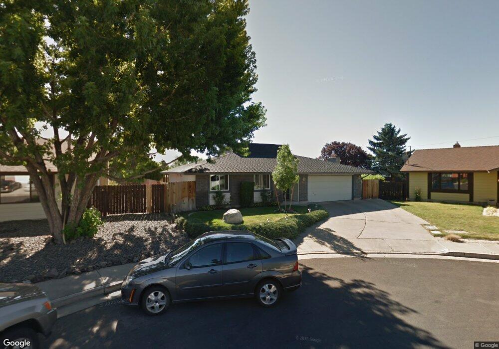
520 Peter Cir Reno, NV 89503
Kings Row NeighborhoodEstimated Value: $497,000 - $525,000
3
Beds
2
Baths
1,830
Sq Ft
$280/Sq Ft
Est. Value
About This Home
This home is located at 520 Peter Cir, Reno, NV 89503 and is currently estimated at $511,606, approximately $279 per square foot. 520 Peter Cir is a home located in Washoe County with nearby schools including Elmcrest Elementary School, Archie Clayton Pre-AP Academy, and Reno High School.
Ownership History
Date
Name
Owned For
Owner Type
Purchase Details
Closed on
Jul 24, 1999
Sold by
Playford Darrell E and Playford Denise L
Bought by
Winter Donald E and Winter Kristine L
Current Estimated Value
Home Financials for this Owner
Home Financials are based on the most recent Mortgage that was taken out on this home.
Original Mortgage
$111,000
Outstanding Balance
$30,110
Interest Rate
7.64%
Estimated Equity
$481,496
Create a Home Valuation Report for This Property
The Home Valuation Report is an in-depth analysis detailing your home's value as well as a comparison with similar homes in the area
Home Values in the Area
Average Home Value in this Area
Purchase History
| Date | Buyer | Sale Price | Title Company |
|---|---|---|---|
| Winter Donald E | $145,000 | Western Title Company Inc |
Source: Public Records
Mortgage History
| Date | Status | Borrower | Loan Amount |
|---|---|---|---|
| Open | Winter Donald E | $111,000 |
Source: Public Records
Tax History
| Year | Tax Paid | Tax Assessment Tax Assessment Total Assessment is a certain percentage of the fair market value that is determined by local assessors to be the total taxable value of land and additions on the property. | Land | Improvement |
|---|---|---|---|---|
| 2026 | -- | $69,092 | $40,285 | $28,807 |
| 2024 | $1,616 | $65,682 | $37,485 | $28,197 |
| 2023 | $1,569 | $66,862 | $39,200 | $27,662 |
| 2022 | $1,525 | $55,549 | $31,500 | $24,049 |
| 2021 | $1,484 | $45,658 | $21,245 | $24,413 |
| 2020 | $1,437 | $45,295 | $19,985 | $25,310 |
| 2019 | $1,395 | $45,425 | $20,300 | $25,125 |
| 2018 | $1,355 | $39,656 | $14,455 | $25,201 |
| 2017 | $1,316 | $38,744 | $12,915 | $25,829 |
| 2016 | $1,284 | $37,794 | $11,340 | $26,454 |
| 2015 | $1,283 | $36,593 | $9,625 | $26,968 |
| 2014 | $1,246 | $35,052 | $8,575 | $26,477 |
| 2013 | -- | $32,690 | $6,125 | $26,565 |
Source: Public Records
Map
Nearby Homes
- 1801 Carlin St
- 2071 W 4th St Unit 42
- 2091 W 4th St
- 505 Northstar Dr
- 880 Ruby Ave
- 1840 Windsor Way
- 2300 Dickerson Rd Unit 16
- 2720 Judith Ln
- 1510 Majestic Dr Unit one
- 820 Wyoming Ave
- 2601 Powder Dr
- 2562 River Hatchling Ln
- 4232 Fawnridge Place
- 1340 Jones St
- 4128 Scenic Dr
- 176 Rissone Ln
- 166 Rissone Ln
- 745 Akard Dr
- 160 Rissone Ln
- 160 Rissone Ln Unit LOT 32
Your Personal Tour Guide
Ask me questions while you tour the home.