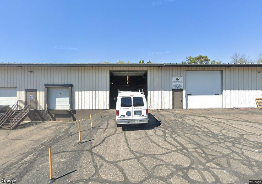
520 River St S Delano, MN 55328
Estimated Value: $1,745,300
--
Bed
--
Bath
--
Sq Ft
2.49
Acres
About This Home
This home is located at 520 River St S, Delano, MN 55328 and is currently estimated at $1,745,300. 520 River St S is a home located in Wright County with nearby schools including Delano Elementary School, Delano Middle School, and Delano Senior High School.
Ownership History
Date
Name
Owned For
Owner Type
Purchase Details
Closed on
Jan 20, 2021
Sold by
Ml & S Properties Llc
Bought by
Crow River Commercial Properties Llc
Current Estimated Value
Home Financials for this Owner
Home Financials are based on the most recent Mortgage that was taken out on this home.
Original Mortgage
$1,230,000
Outstanding Balance
$982,338
Interest Rate
2.71%
Mortgage Type
Commercial
Estimated Equity
$762,962
Create a Home Valuation Report for This Property
The Home Valuation Report is an in-depth analysis detailing your home's value as well as a comparison with similar homes in the area
Home Values in the Area
Average Home Value in this Area
Purchase History
| Date | Buyer | Sale Price | Title Company |
|---|---|---|---|
| Crow River Commercial Properties Llc | $1,350,000 | Land Title |
Source: Public Records
Mortgage History
| Date | Status | Borrower | Loan Amount |
|---|---|---|---|
| Open | Crow River Commercial Properties Llc | $1,230,000 |
Source: Public Records
Tax History Compared to Growth
Tax History
| Year | Tax Paid | Tax Assessment Tax Assessment Total Assessment is a certain percentage of the fair market value that is determined by local assessors to be the total taxable value of land and additions on the property. | Land | Improvement |
|---|---|---|---|---|
| 2025 | $39,144 | $1,694,200 | $344,200 | $1,350,000 |
| 2024 | $37,868 | $1,438,700 | $344,200 | $1,094,500 |
| 2023 | $34,052 | $1,438,700 | $344,200 | $1,094,500 |
| 2022 | $35,024 | $1,188,900 | $243,900 | $945,000 |
| 2021 | $33,358 | $1,066,200 | $233,200 | $833,000 |
| 2020 | $33,160 | $1,010,700 | $217,700 | $793,000 |
| 2019 | $31,398 | $959,700 | $0 | $0 |
| 2018 | $30,268 | $877,100 | $0 | $0 |
| 2017 | $31,128 | $838,900 | $0 | $0 |
| 2016 | $32,154 | $0 | $0 | $0 |
| 2015 | $28,078 | $0 | $0 | $0 |
| 2014 | -- | $0 | $0 | $0 |
Source: Public Records
Map
Nearby Homes
- xxxx Lincoln St
- 428 Saint Peter Ave E
- 257 6th St NW
- 932 Crossing Way
- 120 2nd St N
- 1157 Woods Creek Dr
- 916 Big Woods Dr
- 1216 Northwood Dr
- 986 Eastwood Cir
- 897 Big Woods Dr
- 1234 Willowbrook Cir
- 899 Big Woods Dr
- 1257 Willowbrook Cir
- 1006 2nd St SW
- 1018 2nd St SW
- 1170 Woods Creek Dr S
- 978 Big Woods Dr
- 986 Big Woods Dr
- 1192 Woods Creek Dr
- 1198 Woods Creek Dr S
- 4981 81st St SE
- xxx Co Rd 17 (Or N River St )
- XXXX 4th St
- xxx Unassigned Address
- 4951 81st St SE
- 507 Kelsey St
- 4931 81st St SE
- 429 Babcock Blvd E
- 4913 81st St SE
- 8431 County Road 17 SE
- 405-407 River St S
- 405 River St S
- 4xxx Lincoln St
- 405 Babcock Blvd E
- 343 Babcock Blvd W
- 437 Babcock Blvd E
- 4861 81st St SE
- 600 River Rd W
- 4860 81st St SE
- 472 Babcock Blvd E