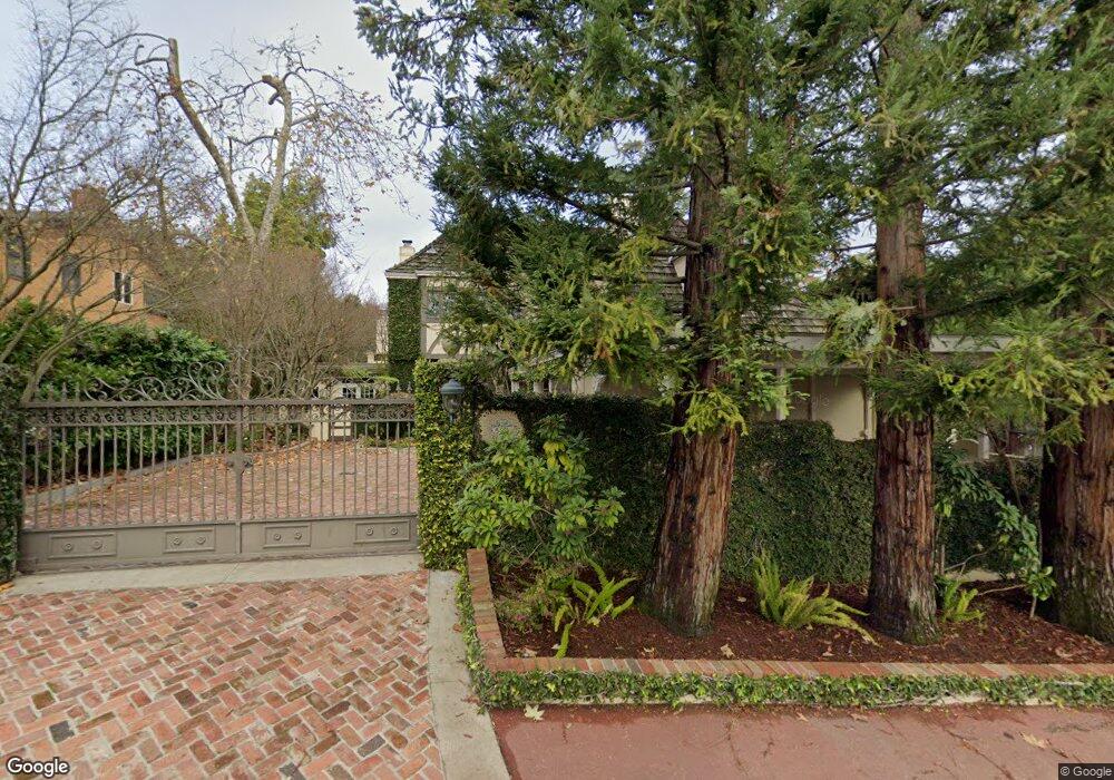
520 Roehampton Rd Hillsborough, CA 94010
Estimated Value: $5,563,000 - $6,493,000
4
Beds
4
Baths
3,320
Sq Ft
$1,795/Sq Ft
Est. Value
About This Home
This home is located at 520 Roehampton Rd, Hillsborough, CA 94010 and is currently estimated at $5,960,031, approximately $1,795 per square foot. 520 Roehampton Rd is a home located in San Mateo County with nearby schools including South Hillsborough Elementary School, Crocker Middle School, and San Mateo High School.
Ownership History
Date
Name
Owned For
Owner Type
Purchase Details
Closed on
Jan 3, 2023
Sold by
Turpen Family Trust and Turpen Phyllis P
Bought by
Turpen Survivors Trust and Turpen Bypass Trust
Current Estimated Value
Purchase Details
Closed on
Dec 16, 2003
Sold by
Basso Bruce M and Basso Lorna S
Bought by
Turpen Louis A and Turpen Phyllis P
Home Financials for this Owner
Home Financials are based on the most recent Mortgage that was taken out on this home.
Original Mortgage
$1,500,000
Interest Rate
3.46%
Mortgage Type
Negative Amortization
Create a Home Valuation Report for This Property
The Home Valuation Report is an in-depth analysis detailing your home's value as well as a comparison with similar homes in the area
Home Values in the Area
Average Home Value in this Area
Purchase History
| Date | Buyer | Sale Price | Title Company |
|---|---|---|---|
| Turpen Survivors Trust | -- | None Listed On Document | |
| Turpen Louis A | $2,850,000 | Fidelity National Title Co |
Source: Public Records
Mortgage History
| Date | Status | Borrower | Loan Amount |
|---|---|---|---|
| Previous Owner | Turpen Louis A | $1,500,000 |
Source: Public Records
Tax History
| Year | Tax Paid | Tax Assessment Tax Assessment Total Assessment is a certain percentage of the fair market value that is determined by local assessors to be the total taxable value of land and additions on the property. | Land | Improvement |
|---|---|---|---|---|
| 2025 | $49,470 | $4,052,105 | $3,554,487 | $497,618 |
| 2023 | $49,470 | $3,894,759 | $3,416,463 | $478,296 |
| 2022 | $46,668 | $3,818,392 | $3,349,474 | $468,918 |
| 2021 | $45,739 | $3,743,523 | $3,283,799 | $459,724 |
| 2020 | $44,948 | $3,705,139 | $3,250,128 | $455,011 |
| 2019 | $43,893 | $3,632,490 | $3,186,400 | $446,090 |
| 2018 | $42,576 | $3,561,266 | $3,123,922 | $437,344 |
| 2017 | $41,854 | $3,491,438 | $3,062,669 | $428,769 |
| 2016 | $40,748 | $3,422,979 | $3,002,617 | $420,362 |
| 2015 | $40,162 | $3,371,563 | $2,957,515 | $414,048 |
| 2014 | $33,611 | $2,800,000 | $2,450,000 | $350,000 |
Source: Public Records
Map
Nearby Homes
- 625 W Santa Inez Ave
- 340 Arden Rd
- 150 Clark Dr
- 670 Edgewood Rd
- 195 Warren Rd
- 1215 La Cumbre Rd
- 425 N El Camino Real Unit 203
- 50 Mounds Rd Unit 108
- 358 N El Camino Real Unit 13
- 106 Pepper Ave
- 212 Eaton Rd Unit 1
- 74 Crystal Springs Rd
- 365 Parrott Dr
- 249 Elm St Unit 104
- 137 Elm St
- 141 W 3rd Ave
- 10 Crystal Springs Rd Unit 1202
- 10 Crystal Springs Rd Unit 1509
- 10 Crystal Springs Rd Unit 1206
- 10 Crystal Springs Rd Unit 1405
- 524 Roehampton Rd
- 514 Roehampton Rd
- 425 W Santa Inez Ave Unit W
- 530 Roehampton Rd
- 521 Roehampton Rd
- 405 W Santa Inez Ave Unit W
- 519 Roehampton Rd
- 501 W Santa Inez Ave Unit W
- 525 Roehampton Rd
- 475 Roblar Ave
- 508 Roehampton Rd
- 538 Roehampton Rd
- 509 Roehampton Rd
- 540 Hayne Rd
- 511 W Santa Inez Ave
- 520 Hayne Rd
- 459 Roblar Ave
- 535 Roehampton Rd
- 550 Hayne Rd
Your Personal Tour Guide
Ask me questions while you tour the home.