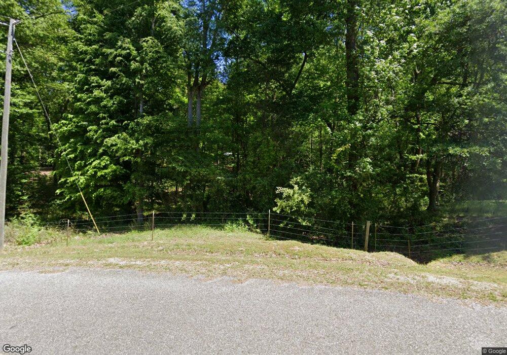
520 Rousey Duncan Rd Royston, GA 30662
Estimated Value: $246,580 - $333,000
--
Bed
1
Bath
1,056
Sq Ft
$263/Sq Ft
Est. Value
About This Home
This home is located at 520 Rousey Duncan Rd, Royston, GA 30662 and is currently estimated at $277,895, approximately $263 per square foot. 520 Rousey Duncan Rd is a home located in Madison County with nearby schools including Madison County High School.
Ownership History
Date
Name
Owned For
Owner Type
Purchase Details
Closed on
Sep 8, 2023
Sold by
Vaughn Reginald T
Bought by
Vaughn Daniel C
Current Estimated Value
Home Financials for this Owner
Home Financials are based on the most recent Mortgage that was taken out on this home.
Original Mortgage
$157,520
Outstanding Balance
$154,179
Interest Rate
6.96%
Mortgage Type
New Conventional
Estimated Equity
$123,716
Purchase Details
Closed on
Apr 20, 2023
Sold by
Ledford Geraldine V
Bought by
Vaughn Reginald T
Purchase Details
Closed on
Apr 16, 2018
Sold by
Ledford V Geraldine V
Bought by
Vaughn James R
Home Financials for this Owner
Home Financials are based on the most recent Mortgage that was taken out on this home.
Original Mortgage
$38,877
Interest Rate
4.44%
Mortgage Type
New Conventional
Purchase Details
Closed on
Jan 21, 2002
Sold by
Ledford Geraldine V
Bought by
Ledford Geraldine
Purchase Details
Closed on
Jan 1, 1995
Bought by
Ledford Geraldine V
Create a Home Valuation Report for This Property
The Home Valuation Report is an in-depth analysis detailing your home's value as well as a comparison with similar homes in the area
Home Values in the Area
Average Home Value in this Area
Purchase History
| Date | Buyer | Sale Price | Title Company |
|---|---|---|---|
| Vaughn Daniel C | $196,900 | -- | |
| Vaughn Reginald T | -- | -- | |
| Vaughn James R | $43,836 | -- | |
| Ledford Geraldine | -- | -- | |
| Ledford Geraldine V | -- | -- |
Source: Public Records
Mortgage History
| Date | Status | Borrower | Loan Amount |
|---|---|---|---|
| Open | Vaughn Daniel C | $157,520 | |
| Previous Owner | Vaughn James R | $38,877 |
Source: Public Records
Tax History Compared to Growth
Tax History
| Year | Tax Paid | Tax Assessment Tax Assessment Total Assessment is a certain percentage of the fair market value that is determined by local assessors to be the total taxable value of land and additions on the property. | Land | Improvement |
|---|---|---|---|---|
| 2024 | $2,387 | $91,731 | $31,297 | $60,434 |
| 2023 | $2,543 | $83,312 | $26,081 | $57,231 |
| 2022 | $1,426 | $69,711 | $17,931 | $51,780 |
| 2021 | $1,288 | $60,206 | $17,931 | $42,275 |
| 2020 | $1,463 | $57,598 | $15,323 | $42,275 |
| 2019 | $1,460 | $56,935 | $15,323 | $41,612 |
| 2018 | $1,426 | $55,713 | $14,019 | $41,694 |
| 2017 | $2,797 | $97,128 | $54,802 | $42,326 |
| 2016 | $2,369 | $92,523 | $54,802 | $37,721 |
| 2015 | $2,368 | $92,523 | $54,802 | $37,721 |
| 2014 | $2,396 | $93,039 | $54,802 | $38,237 |
| 2013 | -- | $93,039 | $54,802 | $38,237 |
Source: Public Records
Map
Nearby Homes
- 233 Duncan Rd
- 384 Freedom Church Rd
- 397 Reed Brawner Rd
- 1683 Dove-Drake Rd
- 3657 Wildcat Bridge Rd
- 2695 Wildcat Bridge Rd
- 4059 Wildcat Bridge Rd
- 2587 Quill Rd
- 1045 Highway 17 S
- 3322 Cheek Pulliam Rd
- 1398 Vanna Rd
- 2246 Wildcat Bridge Rd
- 121 Aaron Brown Rd
- 3075 Sycamore Rd
- 10 Deerfield Ln
- 0 Five Forks Rd Unit 10619685
- 706 Sam Bruce Rd
- 0 Dusty Rd Unit 10569563
- 0 Dusty Rd Unit 7619983
- 40 Burch St
- 569 Rousey Duncan Rd
- 160 Vaughn Cir
- 851 Bailey Rd
- 751 Rousey Duncan Rd
- 225 Vaughn Cir
- 2283 Reed Brawner Rd
- 216 Vaughn Cir
- 0 Reed Brawner Rd Unit CM941611
- 0 Reed Brawner Rd Unit CM946137
- 0 Reed Brawner Rd Unit 955954
- 0 Reed Brawner Rd Unit 7372683
- 0 Reed Brawner Rd Unit 2829925
- 0 Reed Brawner Rd Unit 8176650
- 1678 Reed Brawner Rd
- 902 Bailey Rd
- 141 Rousey Duncan Rd
- 693 Bailey Rd
- 1555 Reed Brawner Rd
- 883 Rousey Duncan Rd
- 330 Sherman Dove Rd
