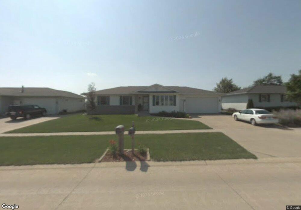
520 S 22nd St Marion, IA 52302
Estimated Value: $304,000 - $331,000
5
Beds
3
Baths
1,408
Sq Ft
$226/Sq Ft
Est. Value
About This Home
This home is located at 520 S 22nd St, Marion, IA 52302 and is currently estimated at $318,276, approximately $226 per square foot. 520 S 22nd St is a home located in Linn County with nearby schools including Francis Marion Intermediate School, Starry Elementary School, and Vernon Middle School.
Ownership History
Date
Name
Owned For
Owner Type
Purchase Details
Closed on
Feb 19, 2019
Sold by
Dalby Douglas
Bought by
Fay Julie and Dalby Julie
Current Estimated Value
Purchase Details
Closed on
Jul 25, 2005
Sold by
Green Wayne K and Irish Megan D
Bought by
Fay Julie L and Dalby Douglas C
Home Financials for this Owner
Home Financials are based on the most recent Mortgage that was taken out on this home.
Original Mortgage
$170,050
Outstanding Balance
$89,969
Interest Rate
5.87%
Mortgage Type
Fannie Mae Freddie Mac
Estimated Equity
$228,307
Purchase Details
Closed on
Jun 12, 2001
Sold by
B & C Company
Bought by
Green Wayne K and Irish Megan D
Home Financials for this Owner
Home Financials are based on the most recent Mortgage that was taken out on this home.
Original Mortgage
$157,415
Interest Rate
8%
Create a Home Valuation Report for This Property
The Home Valuation Report is an in-depth analysis detailing your home's value as well as a comparison with similar homes in the area
Home Values in the Area
Average Home Value in this Area
Purchase History
| Date | Buyer | Sale Price | Title Company |
|---|---|---|---|
| Fay Julie | -- | None Available | |
| Fay Julie L | $178,500 | -- | |
| Green Wayne K | $29,500 | -- |
Source: Public Records
Mortgage History
| Date | Status | Borrower | Loan Amount |
|---|---|---|---|
| Open | Fay Julie L | $170,050 | |
| Previous Owner | Green Wayne K | $157,415 |
Source: Public Records
Tax History Compared to Growth
Tax History
| Year | Tax Paid | Tax Assessment Tax Assessment Total Assessment is a certain percentage of the fair market value that is determined by local assessors to be the total taxable value of land and additions on the property. | Land | Improvement |
|---|---|---|---|---|
| 2025 | $5,092 | $320,800 | $32,000 | $288,800 |
| 2024 | $4,888 | $281,800 | $32,000 | $249,800 |
| 2023 | $4,888 | $281,800 | $32,000 | $249,800 |
| 2022 | $4,720 | $228,500 | $32,000 | $196,500 |
| 2021 | $4,504 | $228,500 | $32,000 | $196,500 |
| 2020 | $4,504 | $207,800 | $32,000 | $175,800 |
| 2019 | $4,236 | $196,500 | $32,000 | $164,500 |
| 2018 | $4,136 | $196,500 | $32,000 | $164,500 |
| 2017 | $4,054 | $188,100 | $30,100 | $158,000 |
| 2016 | $4,084 | $183,600 | $30,100 | $153,500 |
| 2015 | $4,069 | $183,600 | $30,100 | $153,500 |
| 2014 | $3,876 | $183,600 | $30,100 | $153,500 |
| 2013 | $3,722 | $183,600 | $30,100 | $153,500 |
Source: Public Records
Map
Nearby Homes
- 295 S 19th St
- 235 S 21st Street Ct
- 2610 Bullis Dr
- 1785 Valleyview Dr
- 190 26th Street Ct
- 1600 Highview Dr
- 385 Rosslare St
- 1811 3rd Ave
- 2251 4th Ave
- 2850 Pennington Dr
- 369 Raleigh Ln
- 336 Aircom Dr
- 388 Aircom Dr
- 492 Aircom Dr
- 443 Aircom Dr
- 1355 3rd Ave
- 415 16th St
- 649 Raleigh Ln
- 2605 5th Ave
- 1621 6th Ave